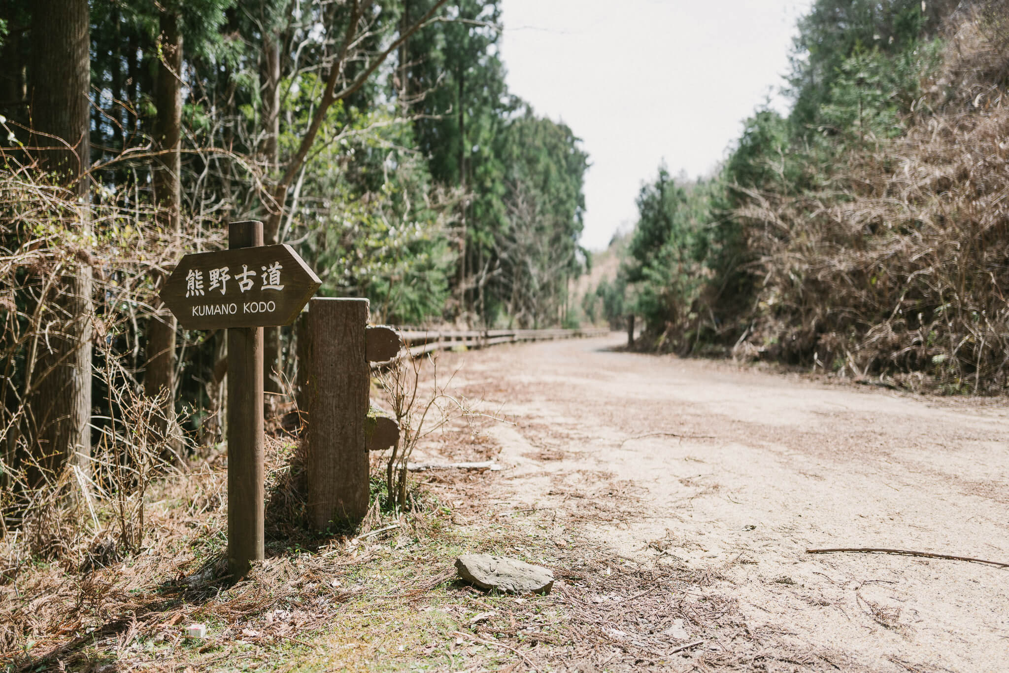
Tokyo to Takijiri to TakaharaDay 1
Over and Down
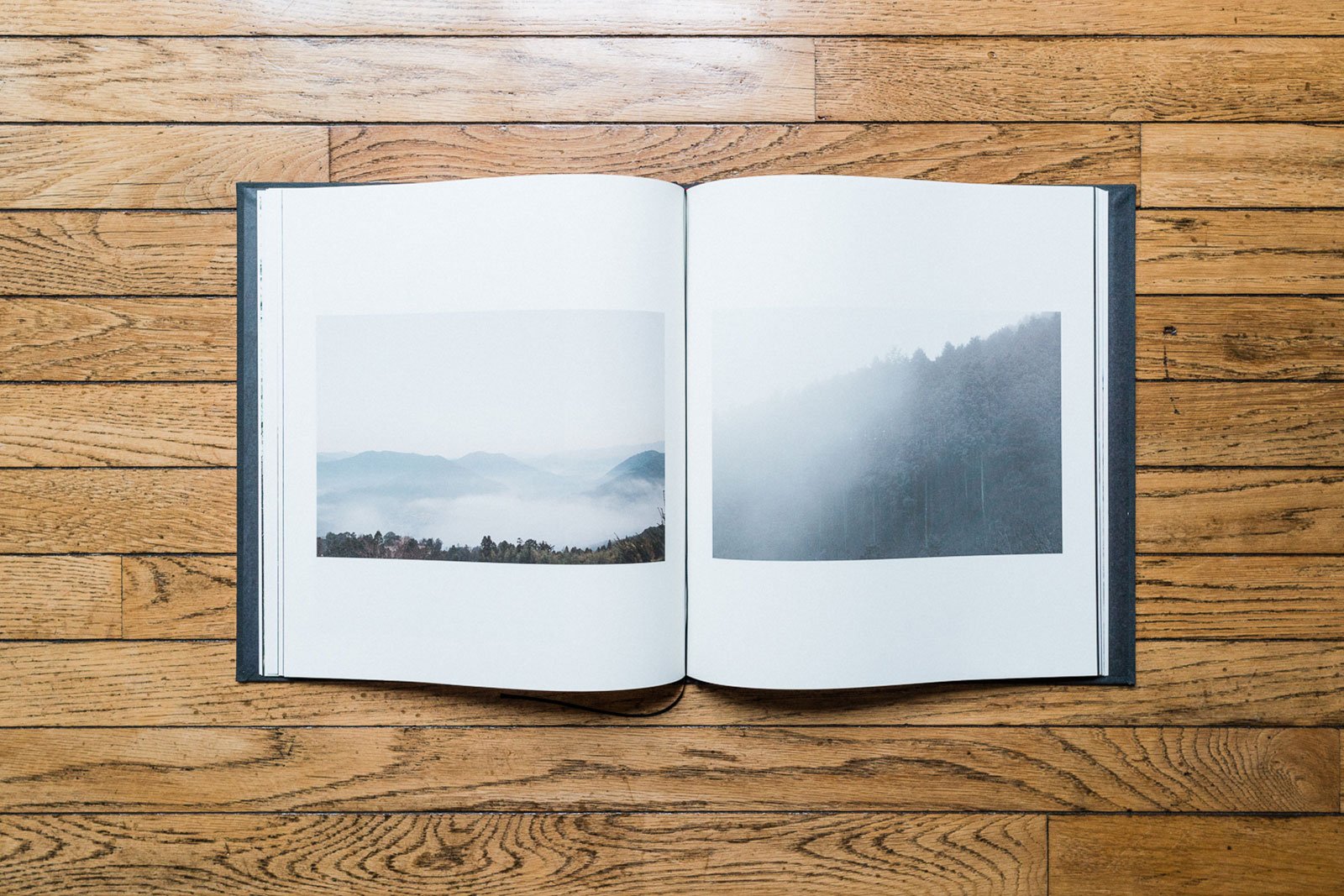
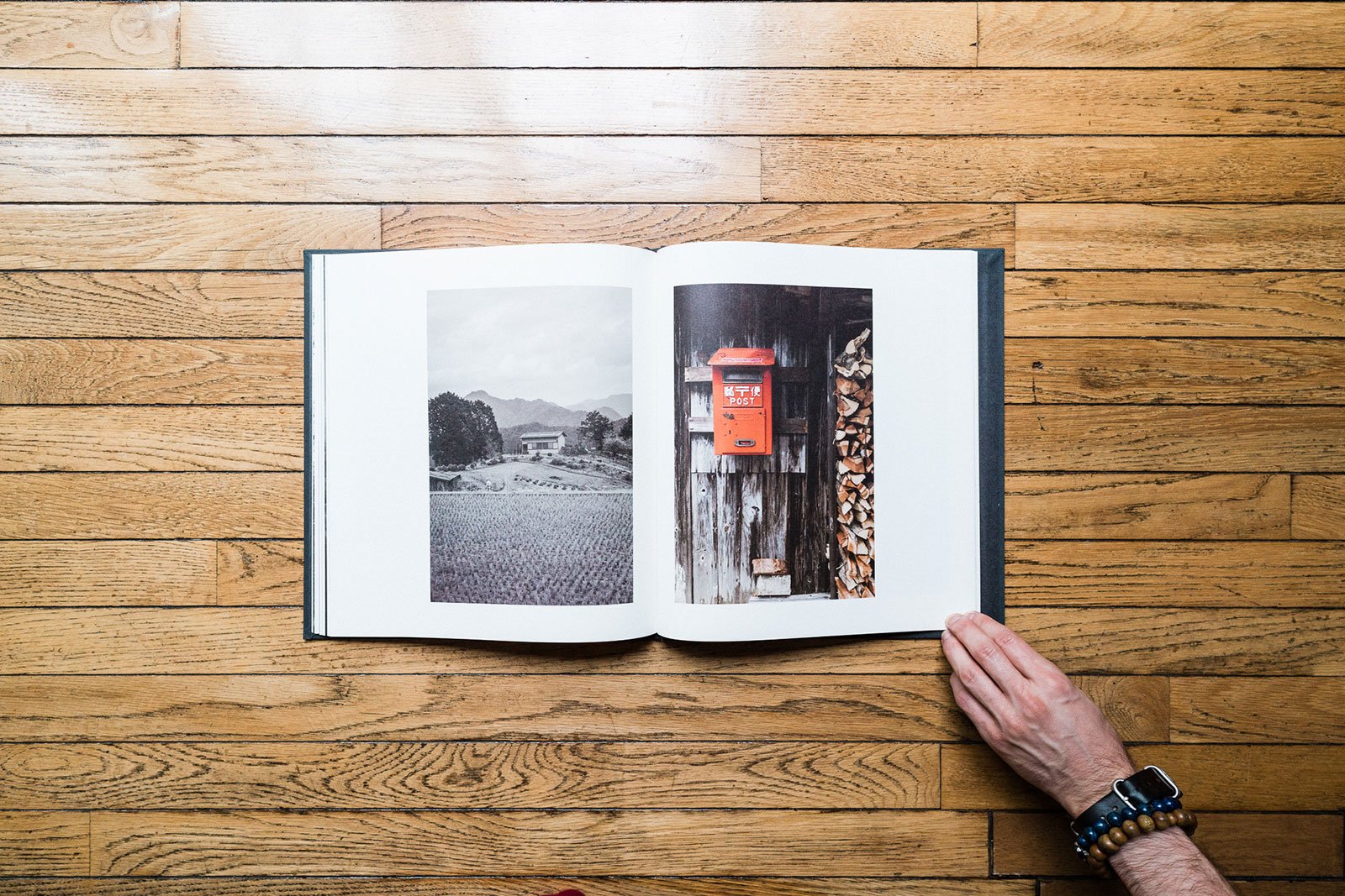
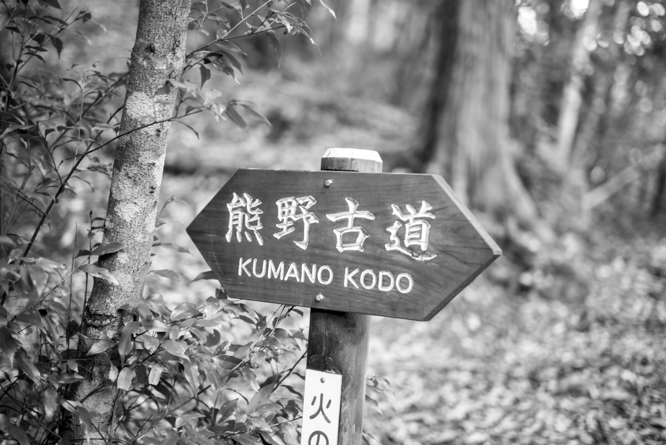
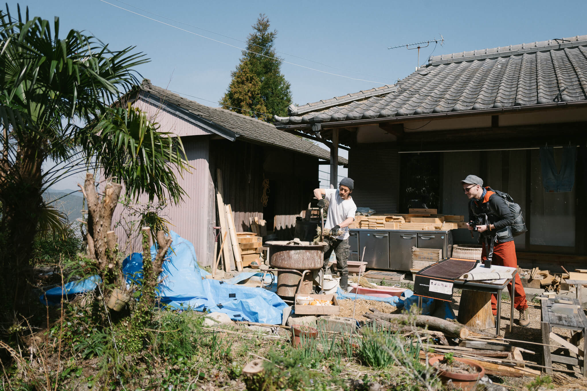
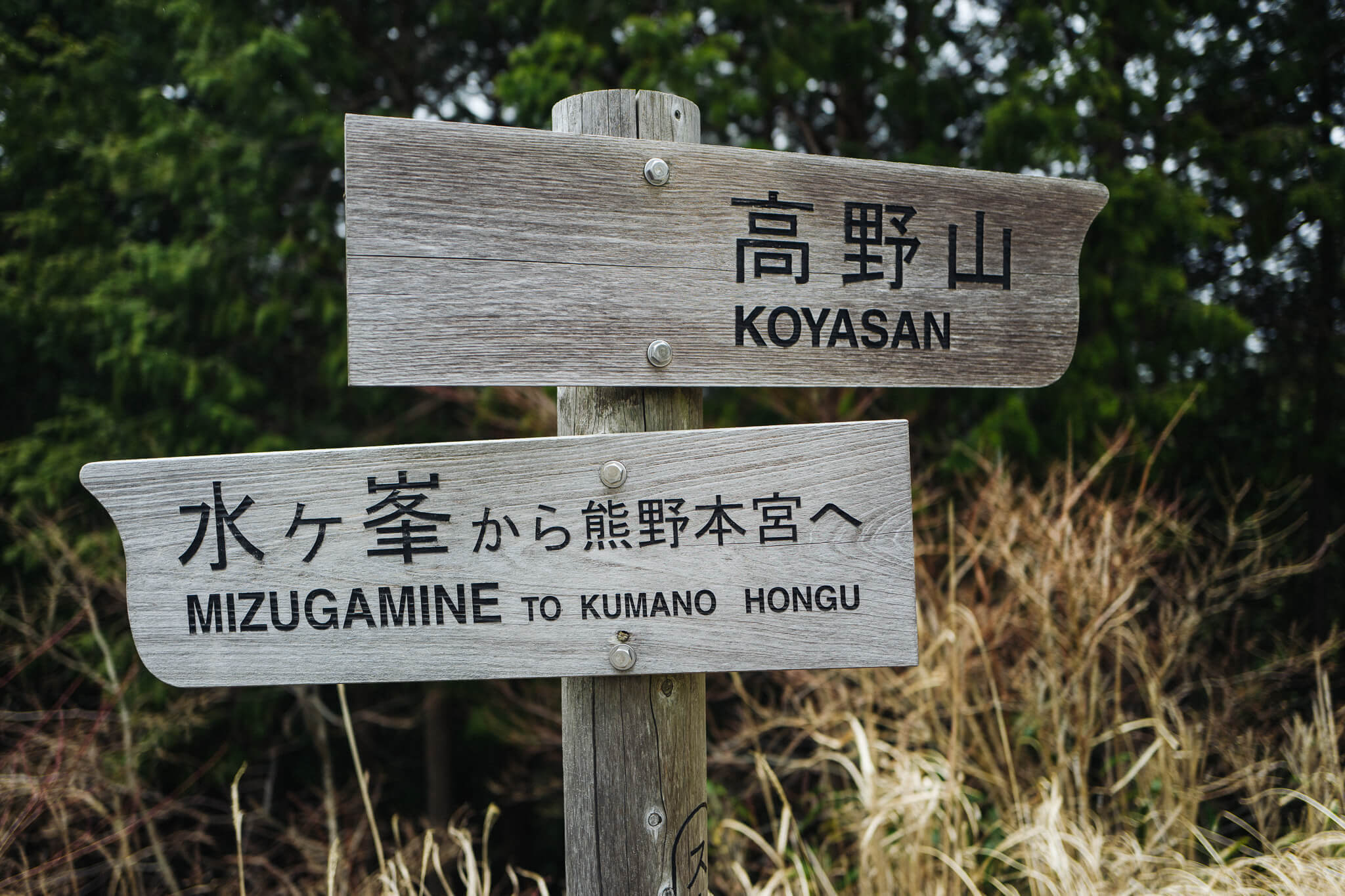
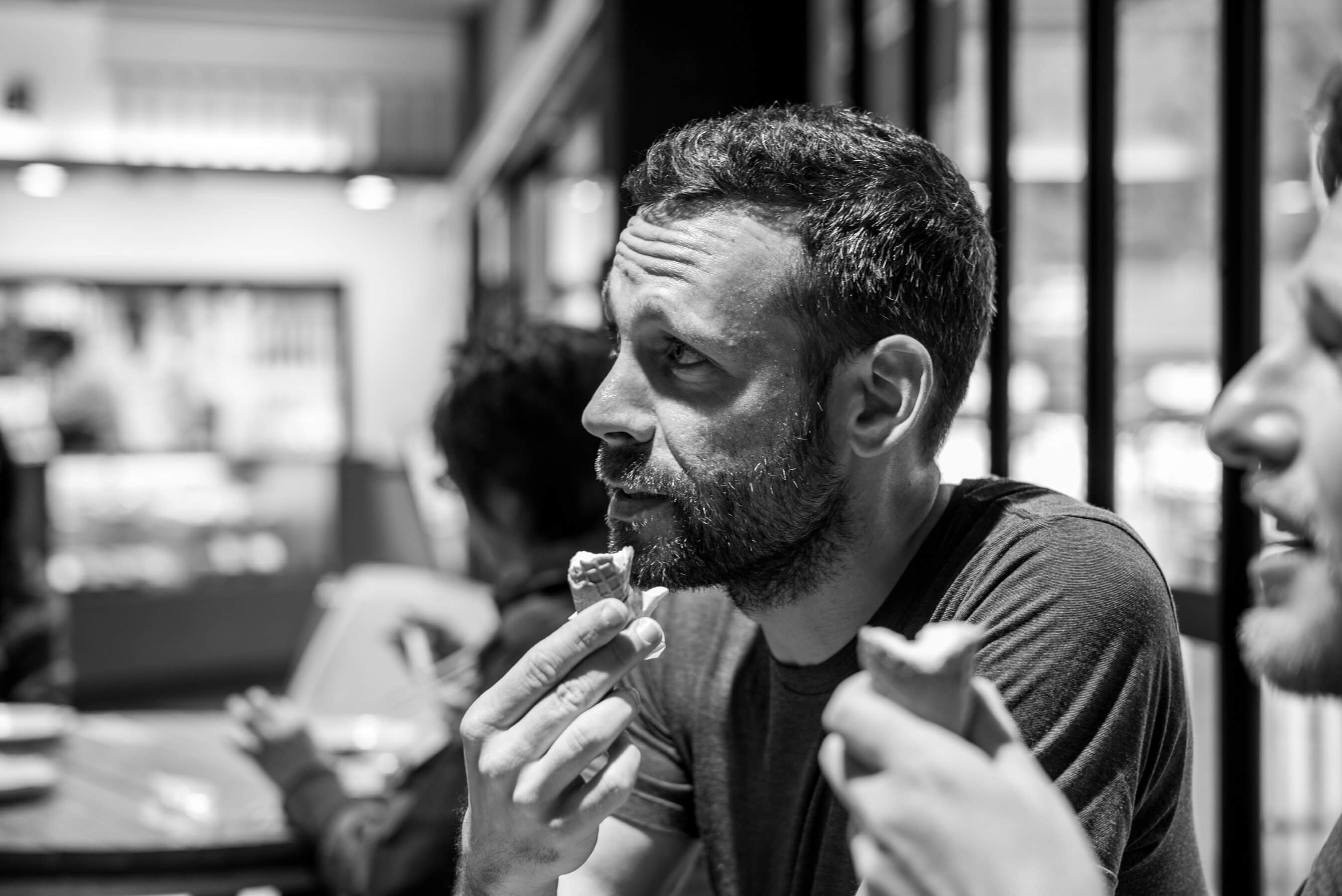
In April 2016 Dan Rubin and I (Craig Mod) walked for eight days along the Kumano Kodo, a thousand-year old pilgrimage route in Wakayama prefecture, Japan. We began walking at Takijiri on the Nakahechi route, switching then to the Kohechi route at Hongu Taisha, and ending, finally, at Koya-san.
We went on to make a book about the walk. We called it many things as we tried to find a name — "A Pretty Good Walk," "Less Important than Sensible Shoes" — but in the end we called it "Koya Bound."
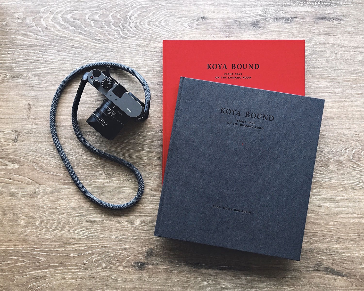
I had been walking these pilgrimage paths for a few years, and this book was meant to be the first artifact to come from the walks. A simple collaborative piece. In the end Dan and I raised nearly $65,000 for it on Kickstarter, and that enabled us to make it as special as we could imagine.
You can buy the book. There are a few copies left from our limited edition print run. We worked with Japanese printers and paper makers and binderies, and had the book printed and bound in Japan. It was born from a walk in Japan, made in Japan, and ships from Japan.
But! You don't need to buy the book to come with us on the walk. This website is an extension of the book, an extended sketch of our itinerary: A mapping of where we walked, notes on how it felt, and a log of where we stayed.
The brilliant folks at Codrops provided us with a framework for telling this story. We modified the framework to fit our needs.
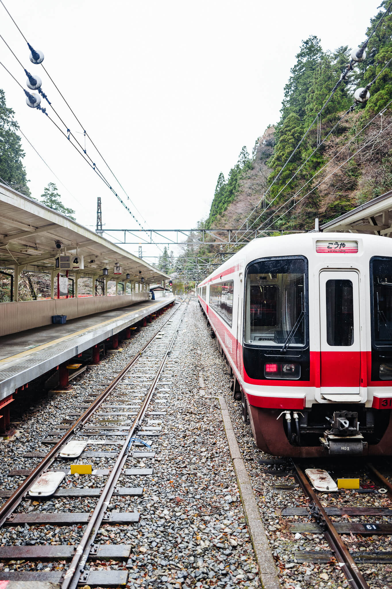
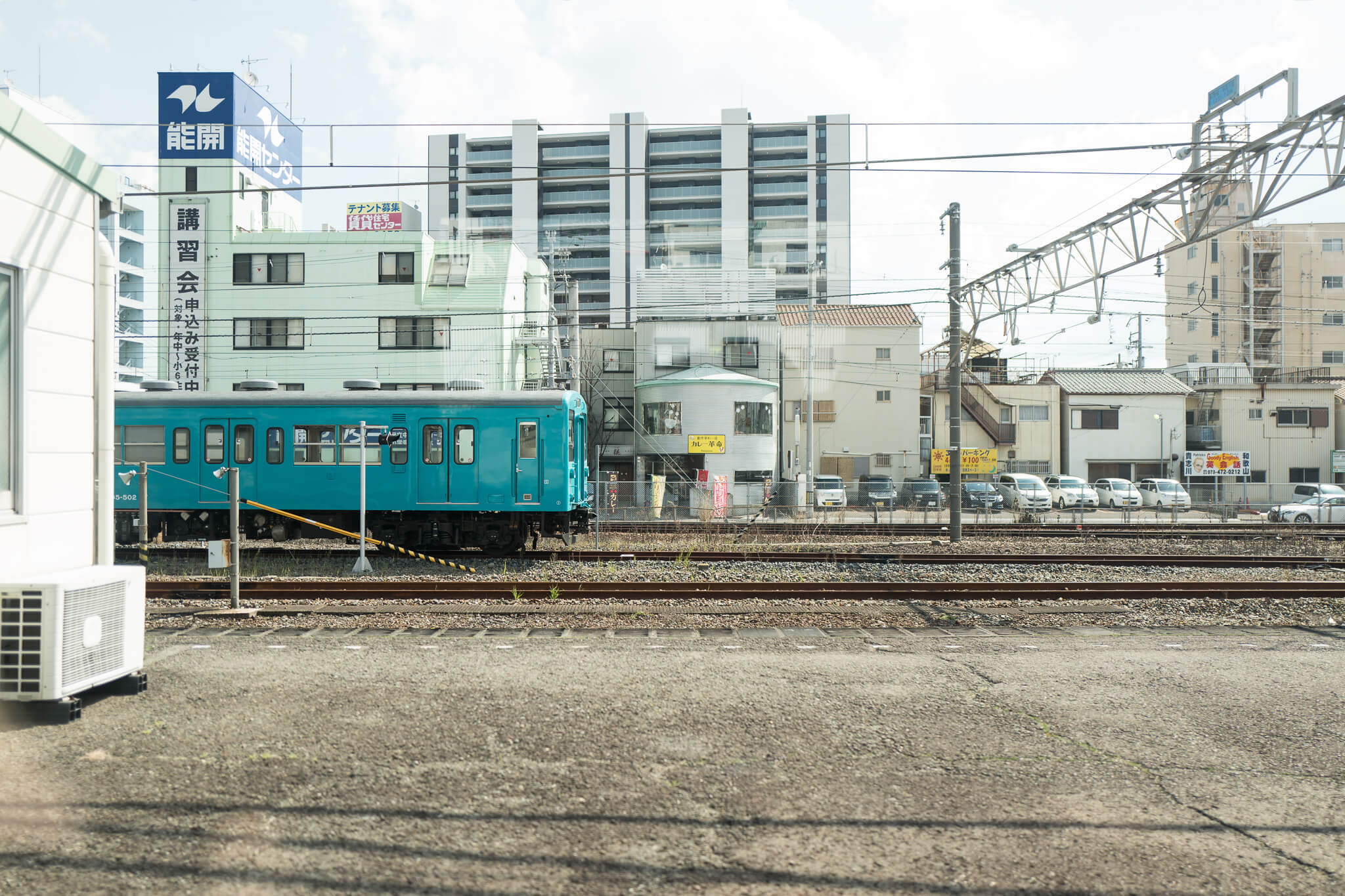
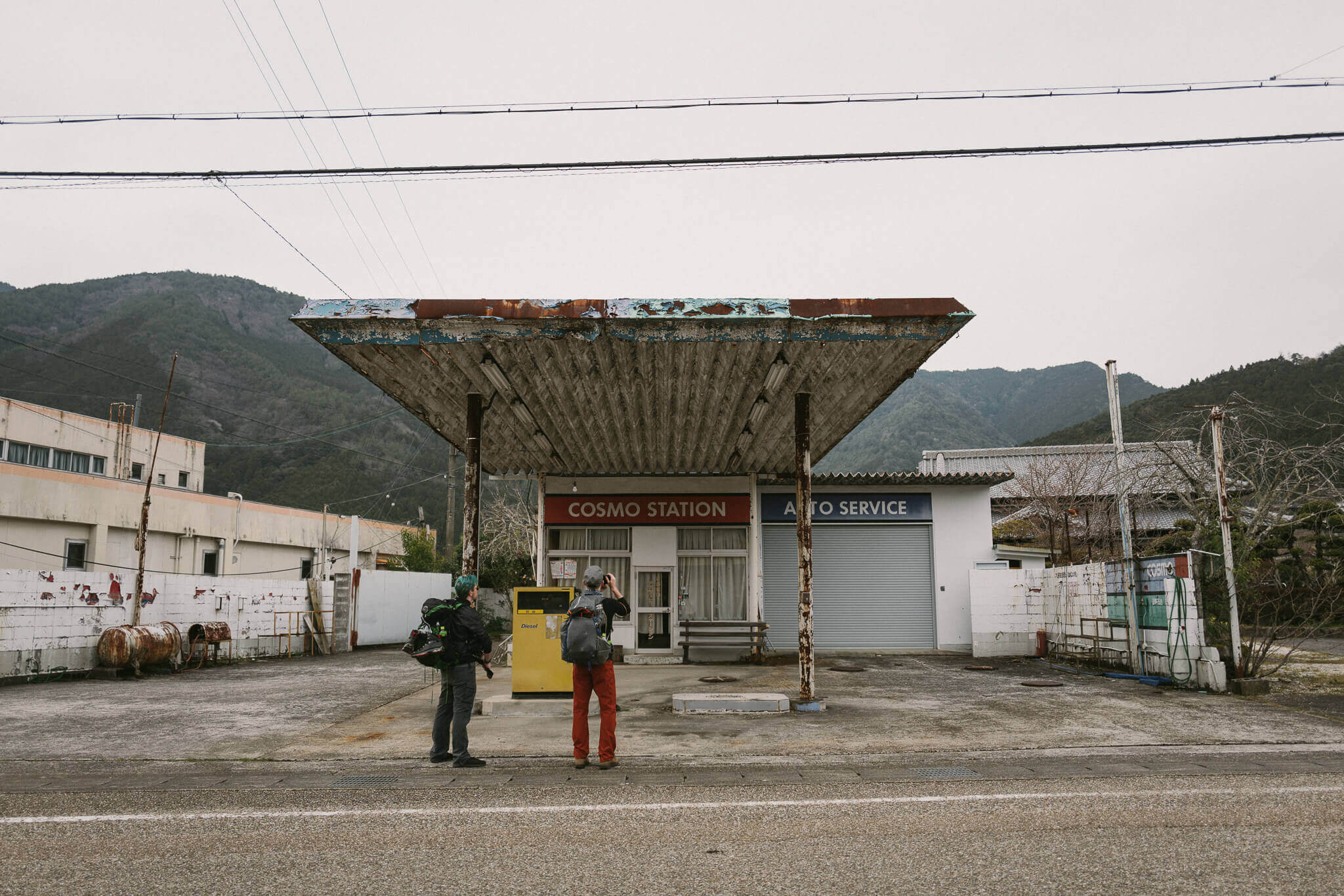
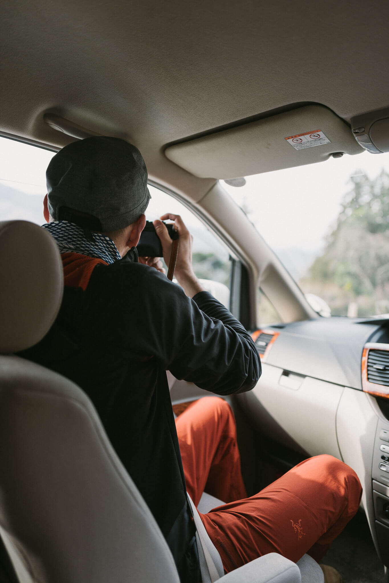
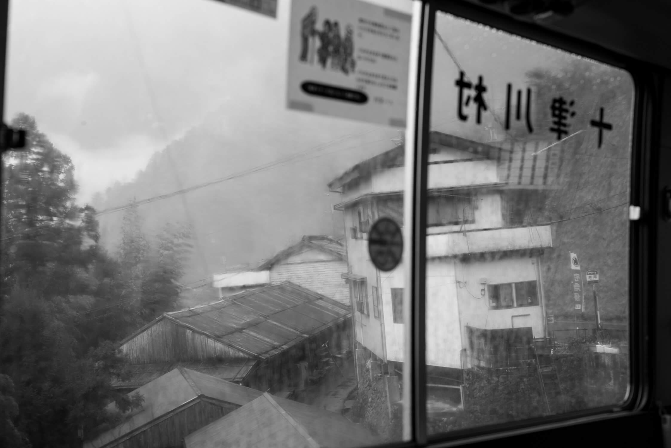
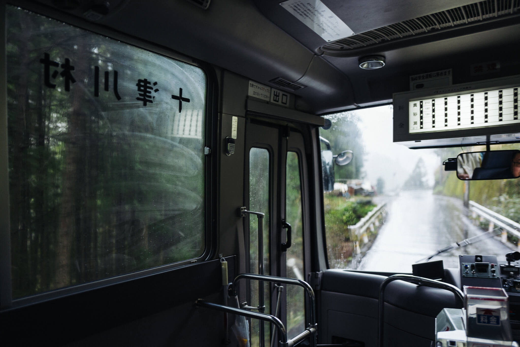
In the end, it was a very good walk. And one that began as so many adventures in Japan do: on trains.
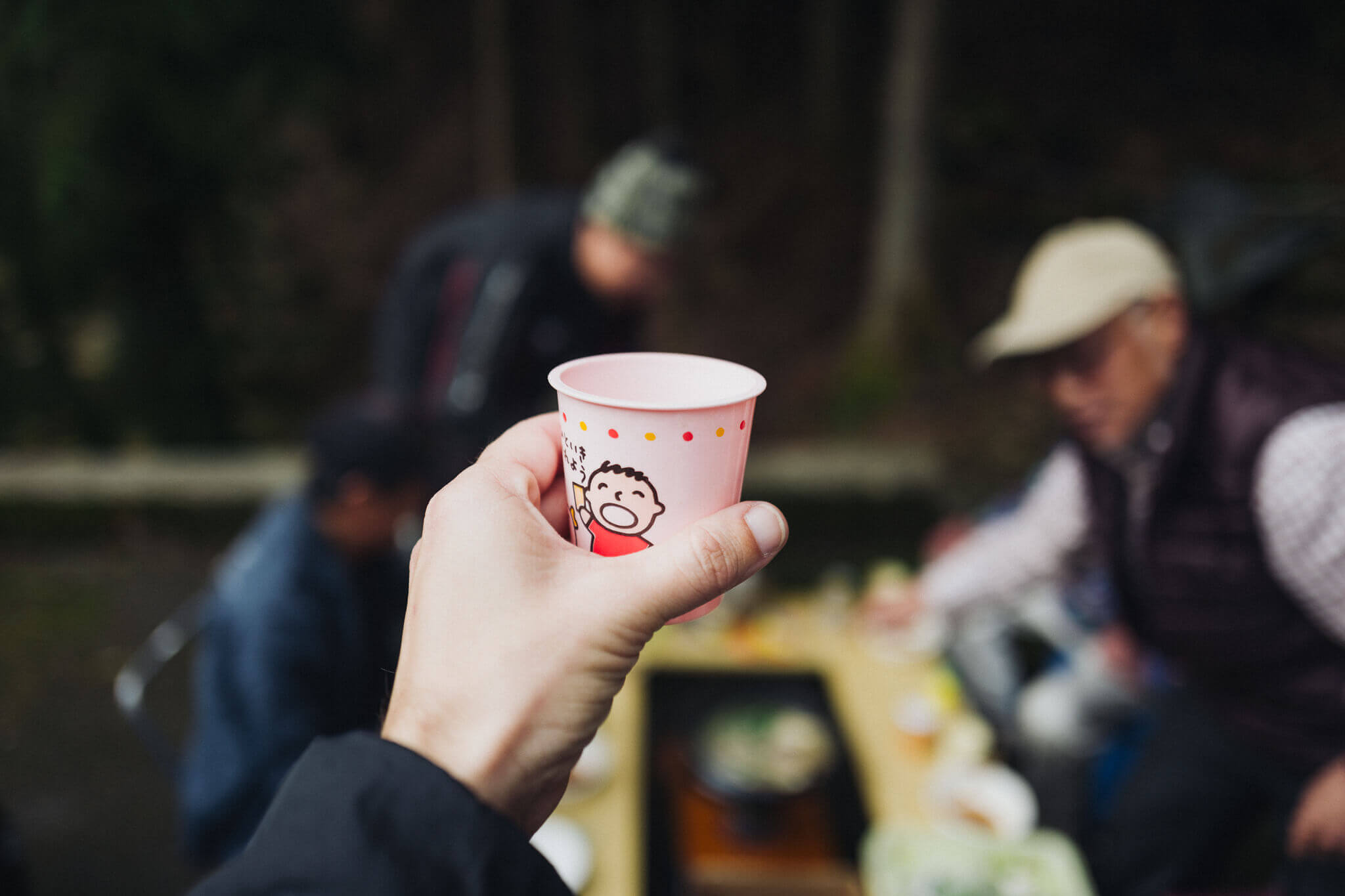
We stayed as pilgrims of the past stayed — in small inns and homes. We quantified ourselves as pilgrims of today do — with apps and wrist gadgets.
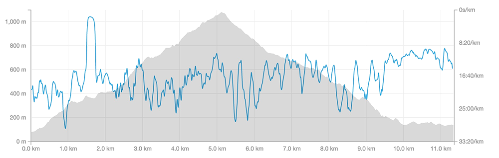
Thanks to our gadgets we know we covered 107km of distance and 4.75km of vertical incline and eked out 148,000 steps. Each day we woke early, ate complicated breakfasts, left our lodgings and then … placed one foot in front of the other.
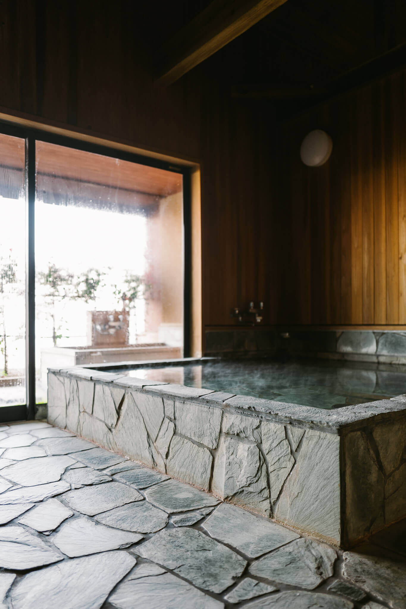
We stopped only for a sip of thermos-warm coffee or a rice ball or energy bar, finishing the day at another inn, slipping into a scalding hot bath and replenishing our spent calories with whatever the owners have cooked for us. Finally, gratefully, we crawled into bed earlier than a grandparent might sleep.
Those were our days, the days of the Kumano walker, again and again: Waking, walking, talking, bathing, sleeping. Punctuated by great food and good coffee and wonderful conversations.
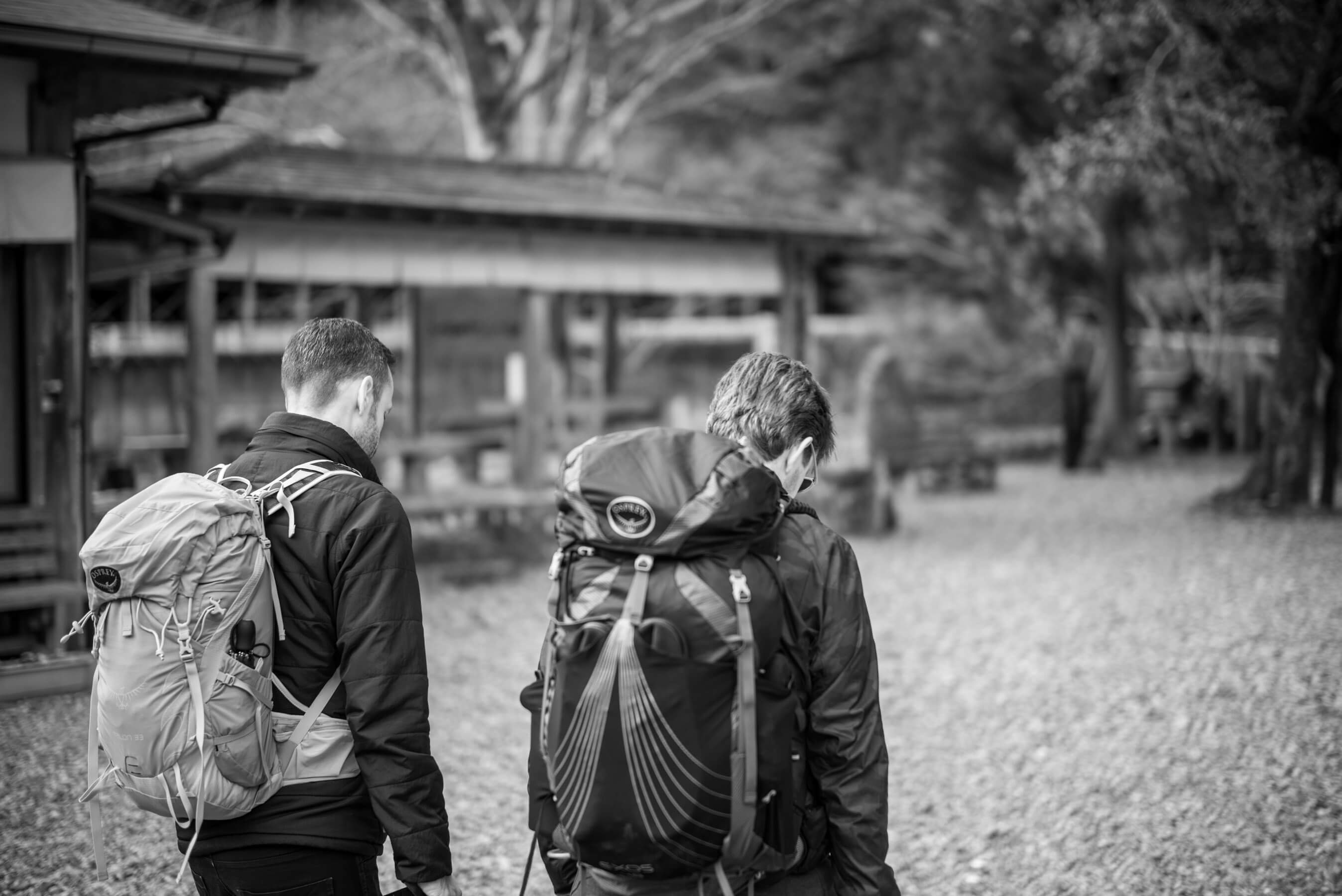
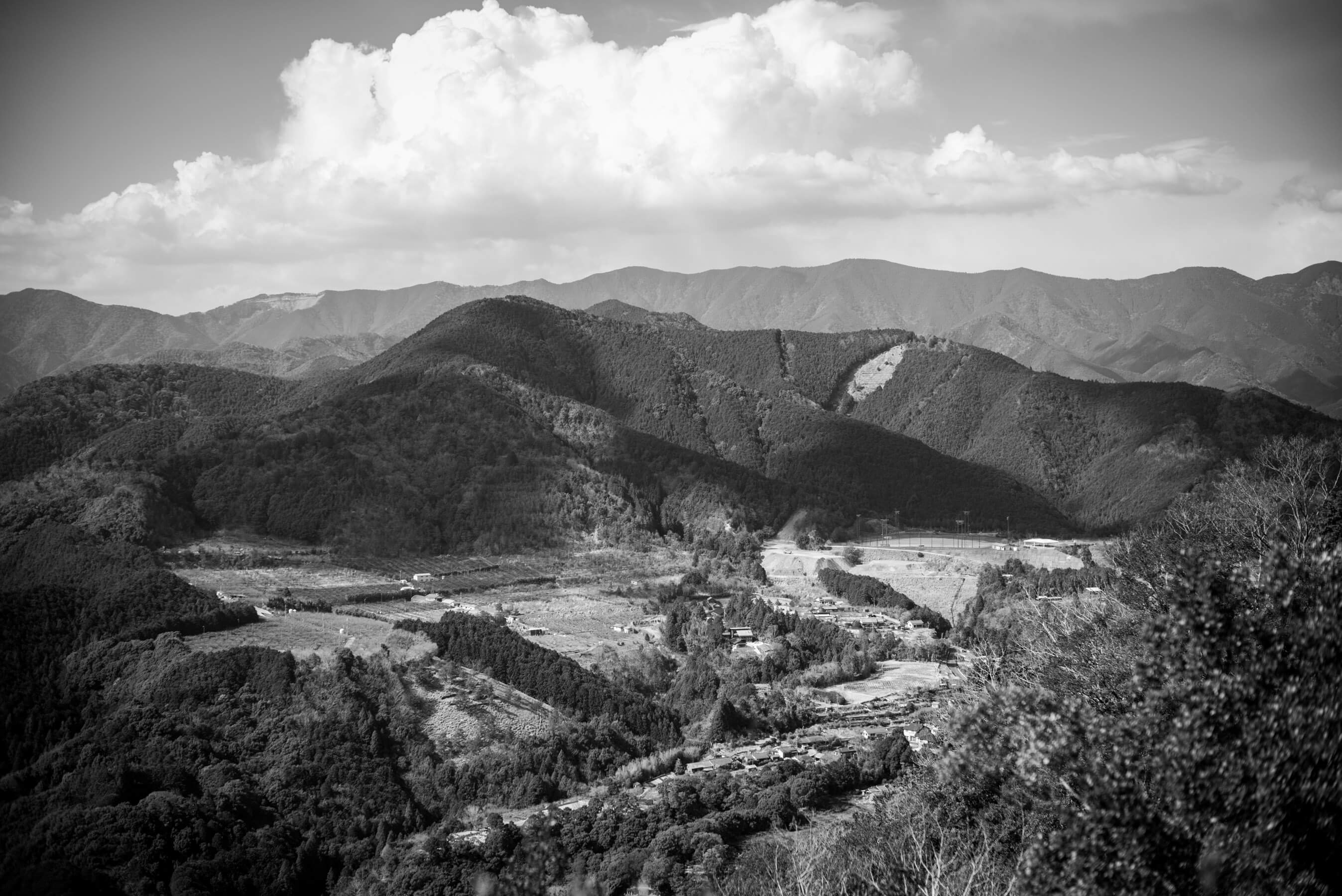
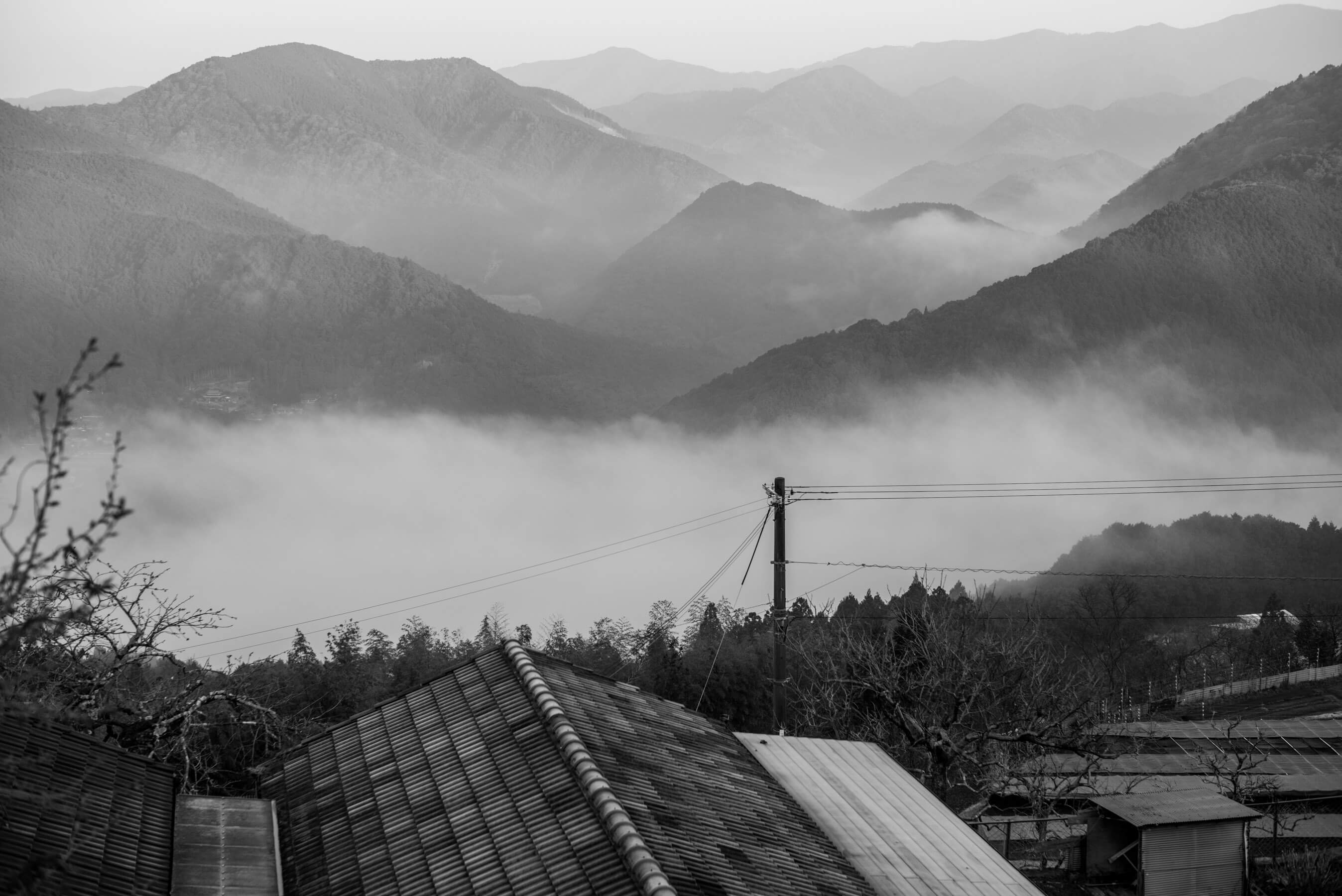
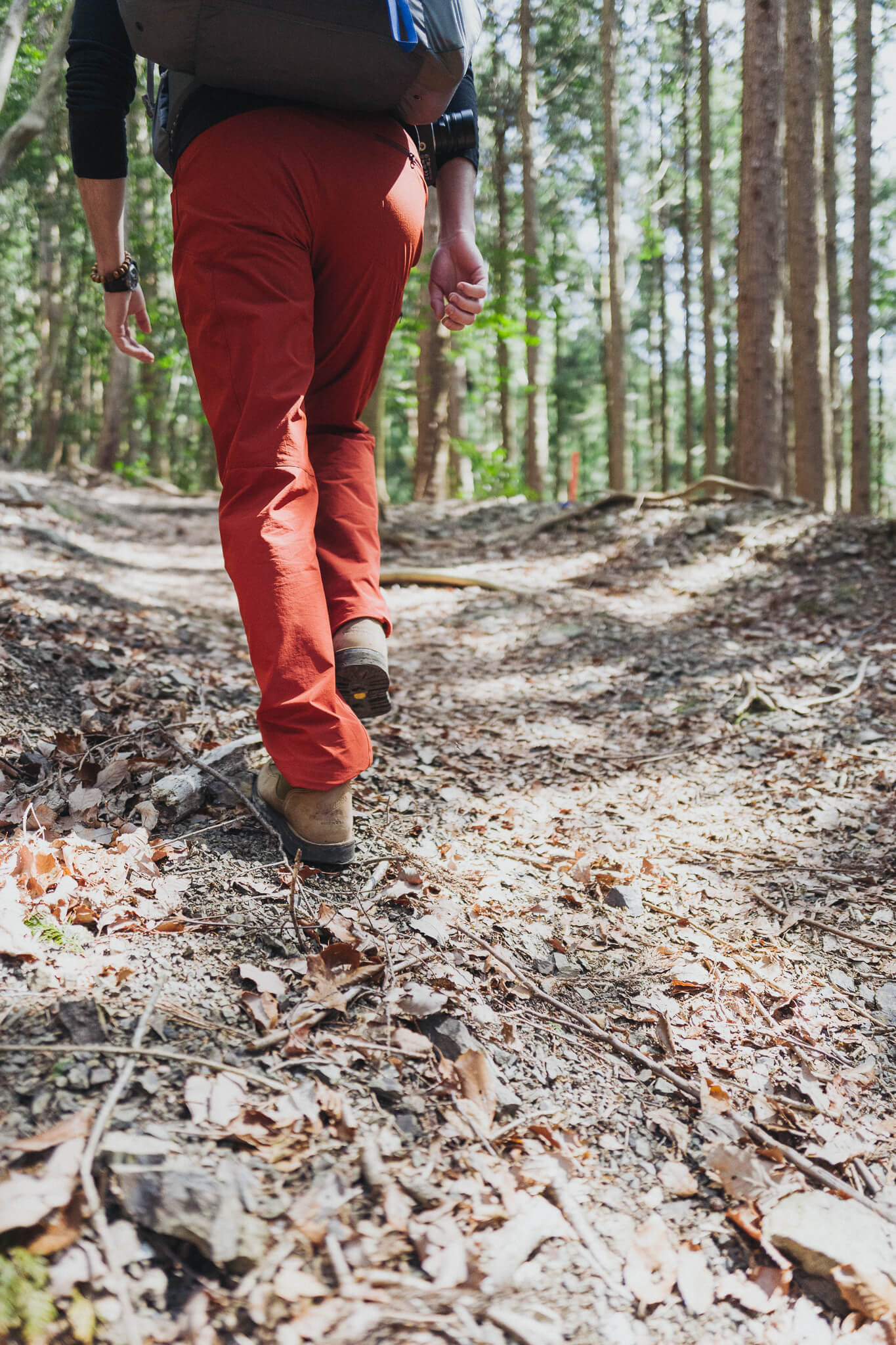
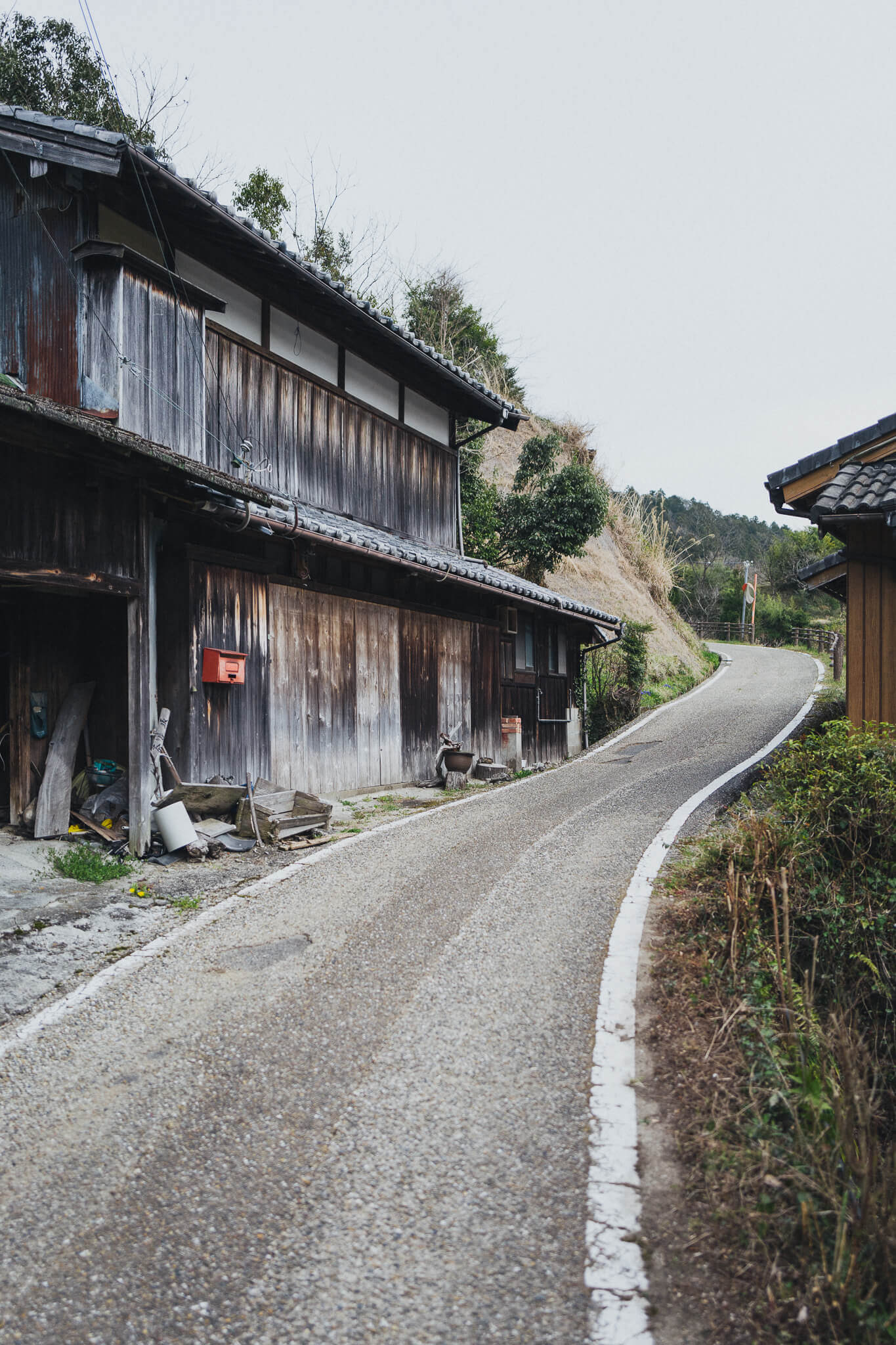
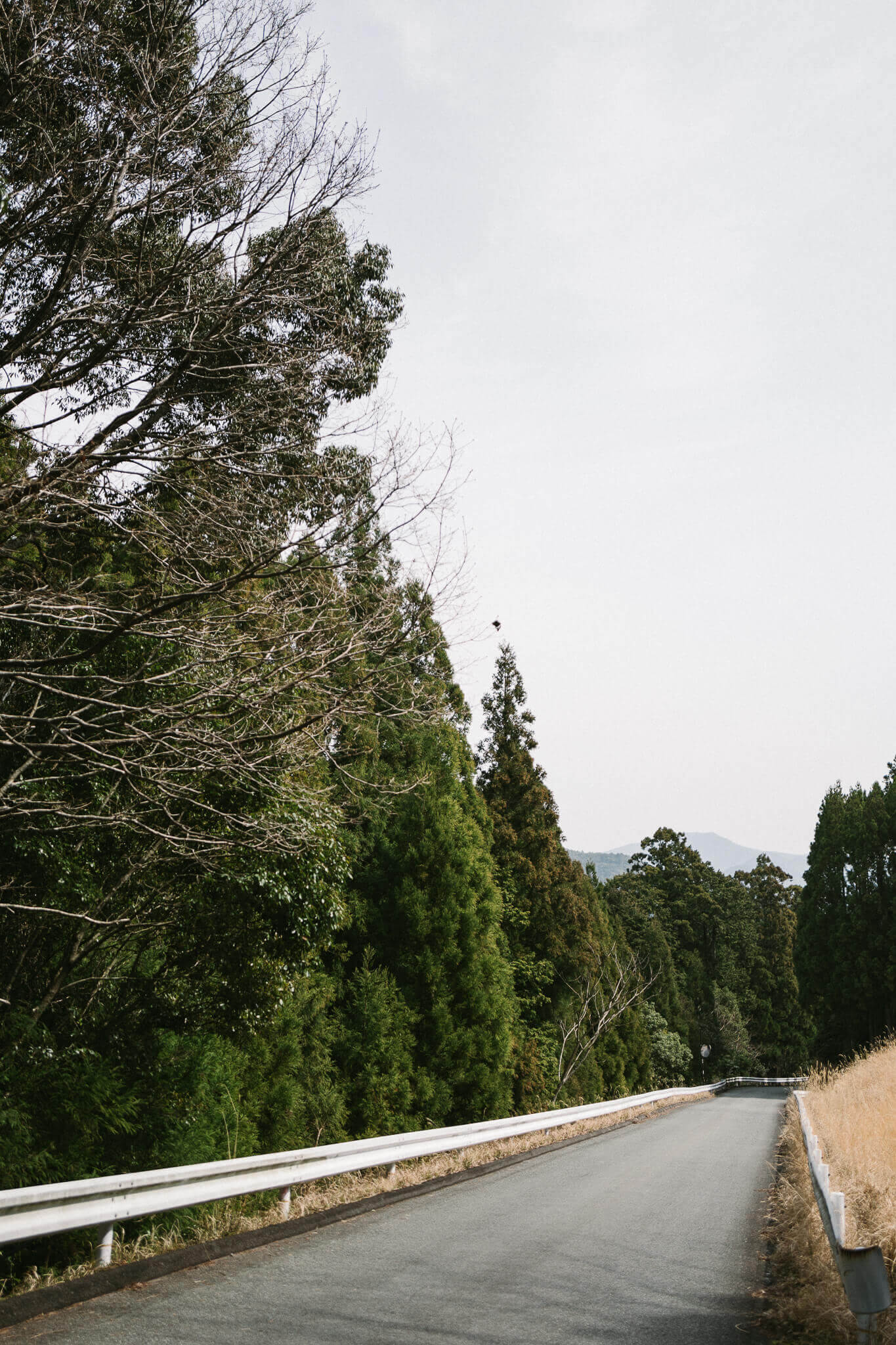
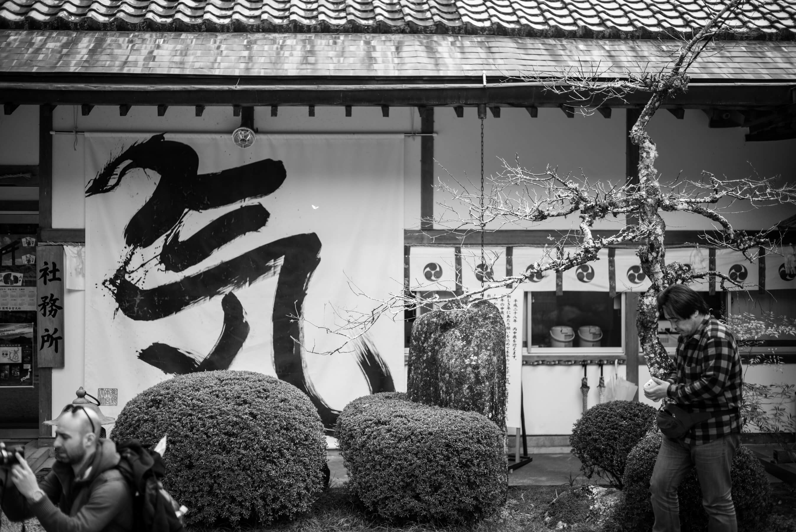
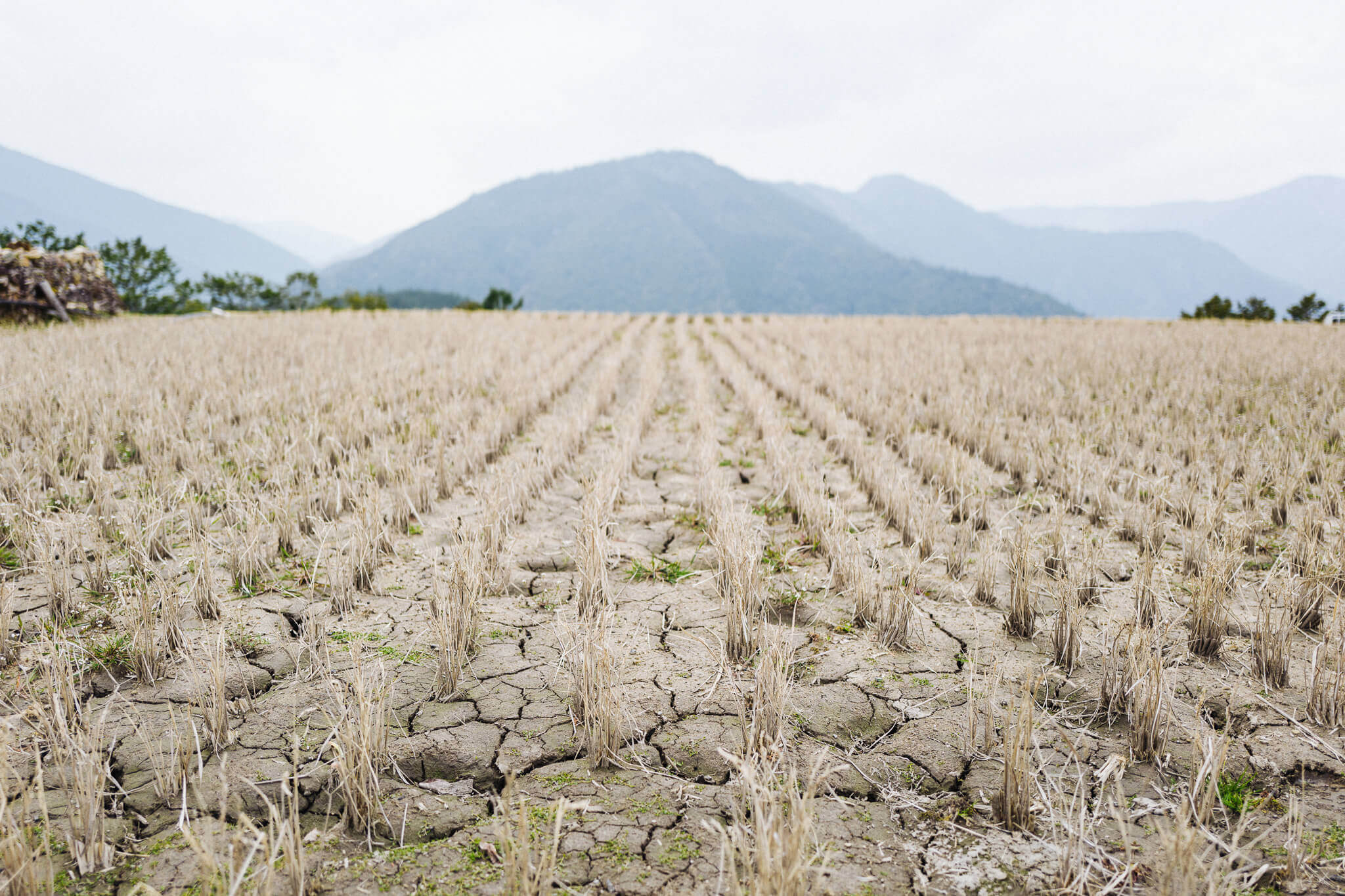
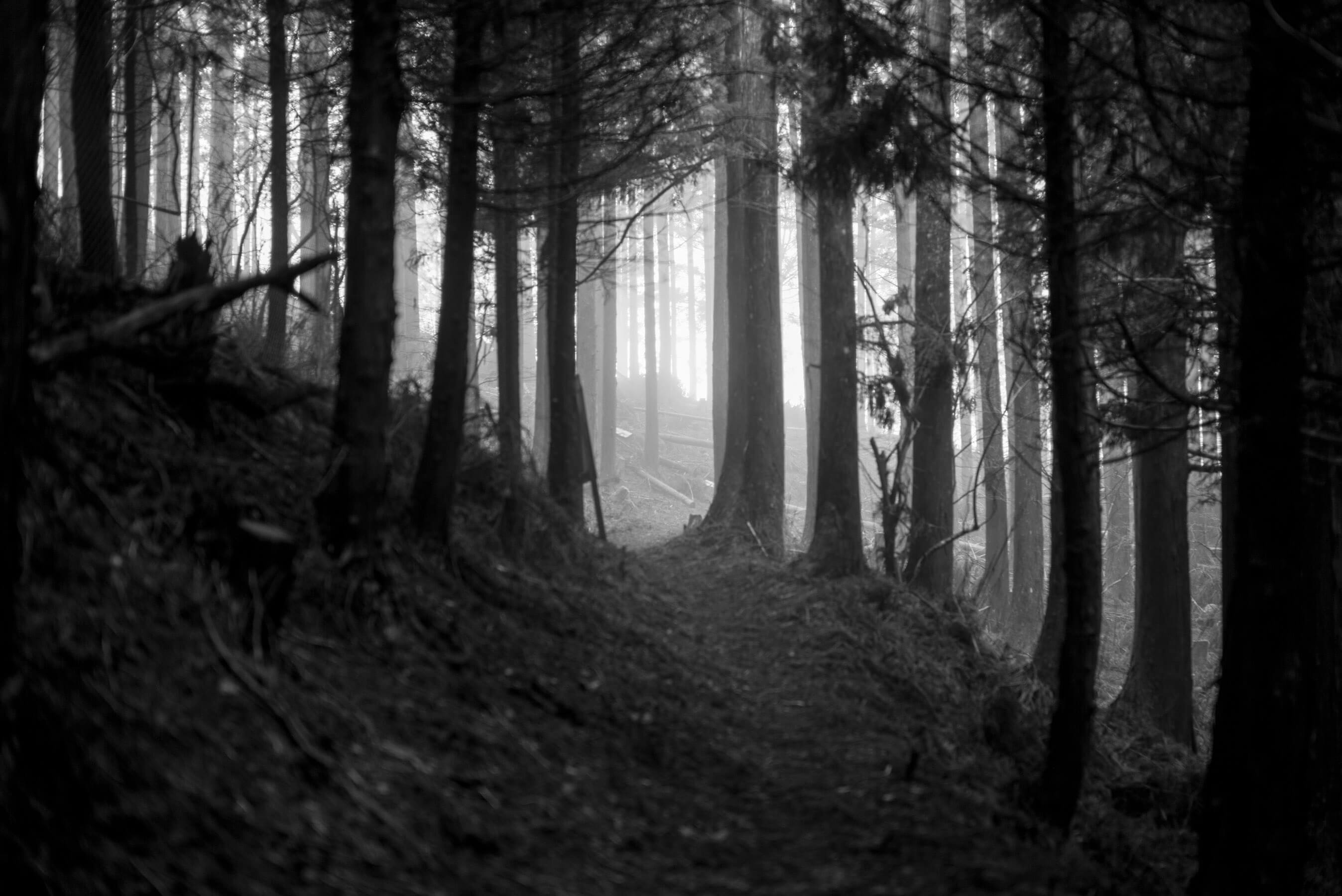
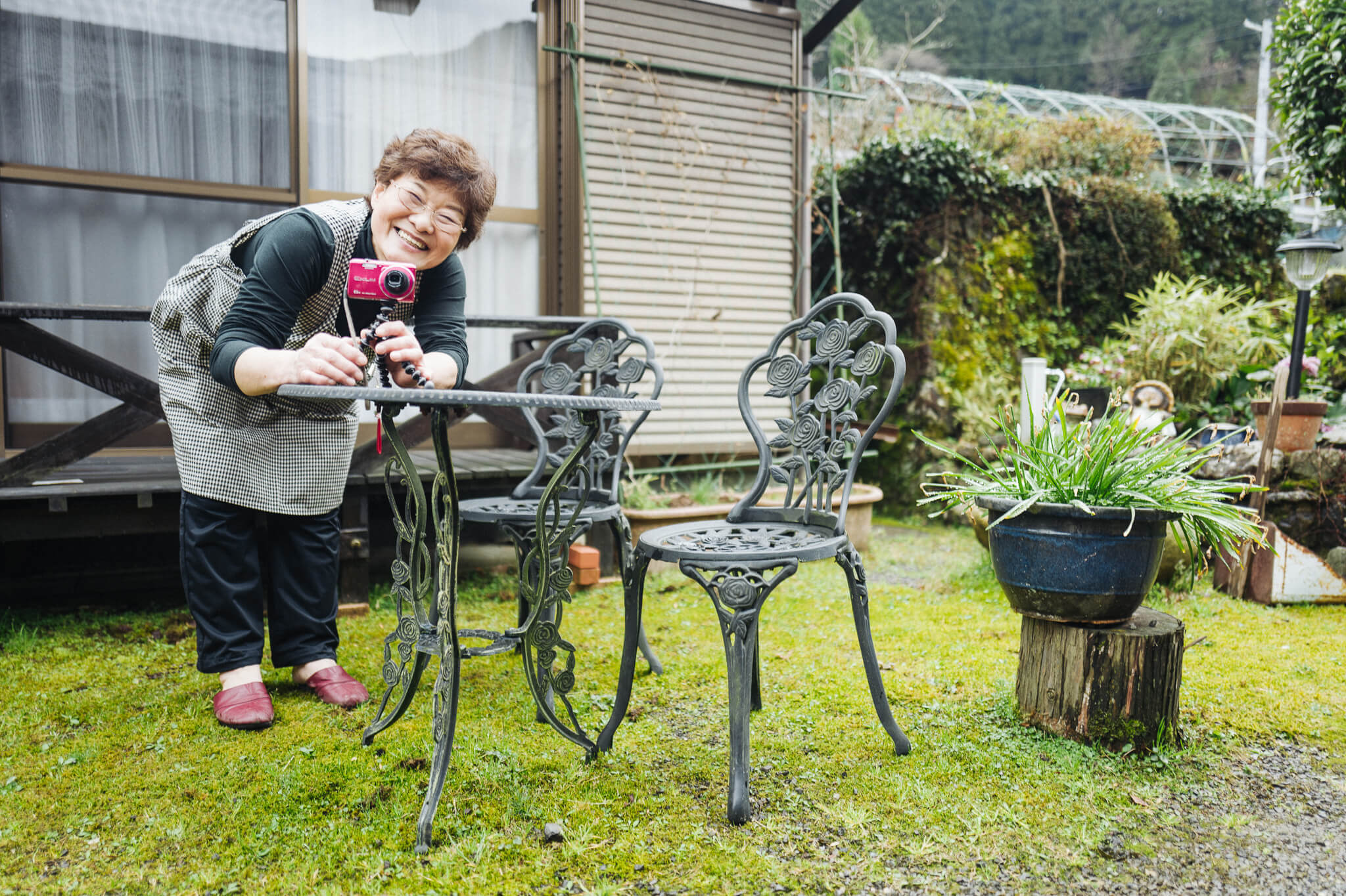
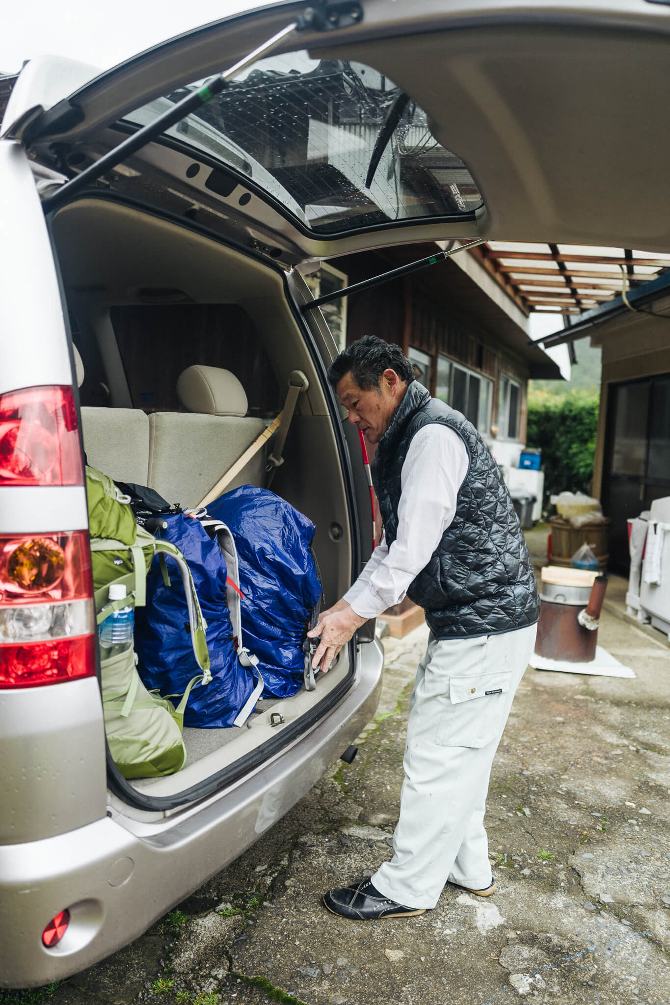
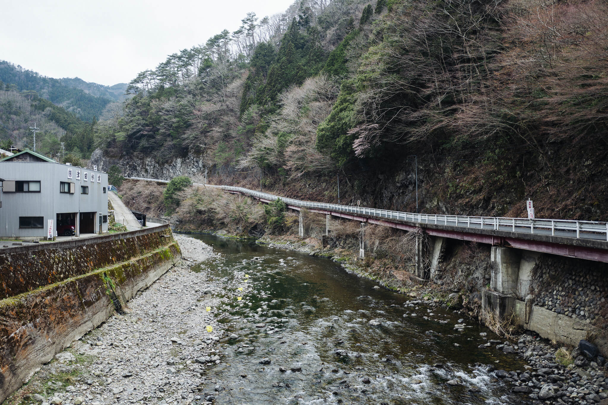
The first day: an easy day but a long day. A day of logistics. A day of getting to the trail head. Of making sure everyone was alive, healthy, capable. Of checking gear. A simple walk to get us in the mood.
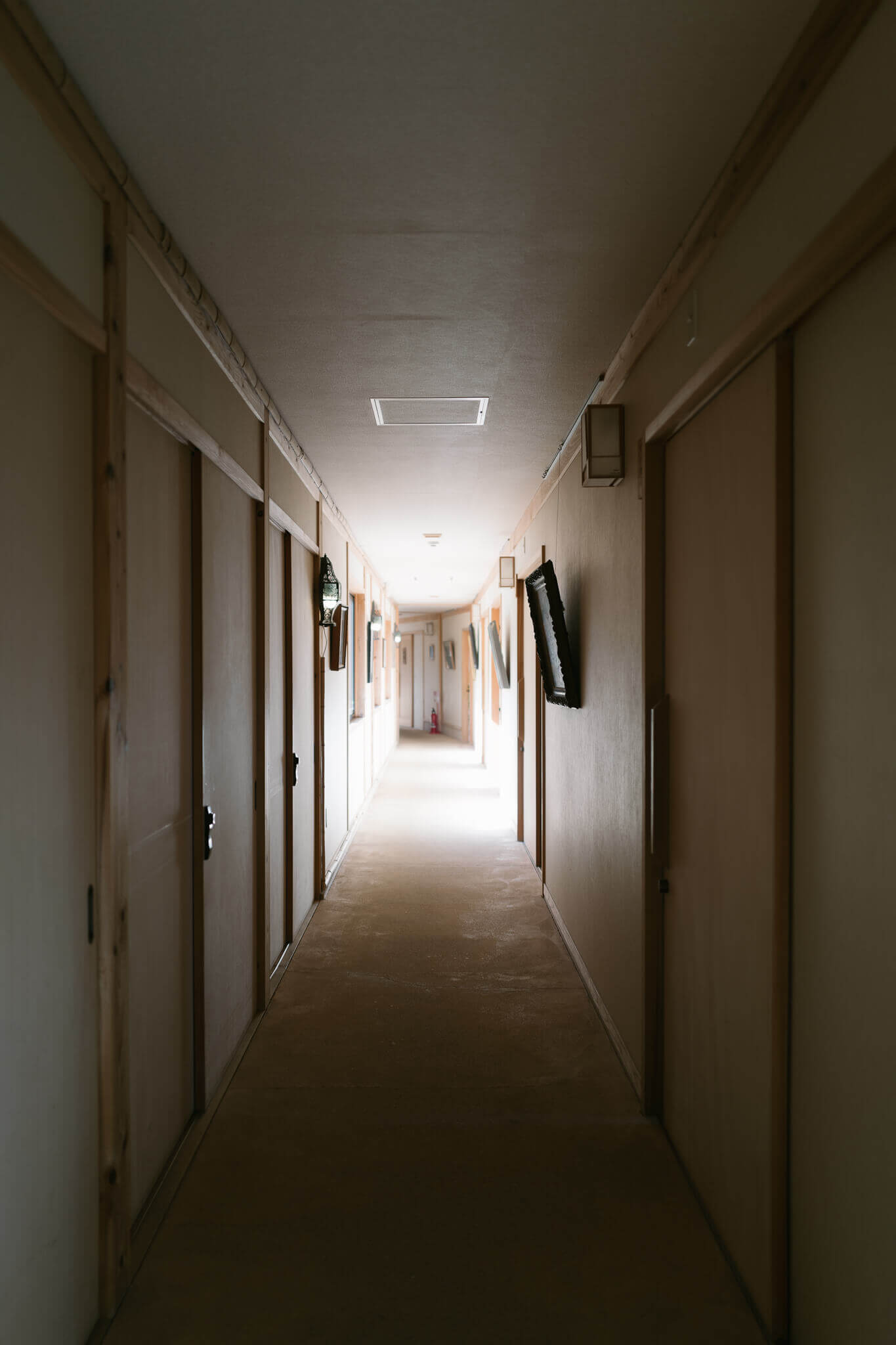
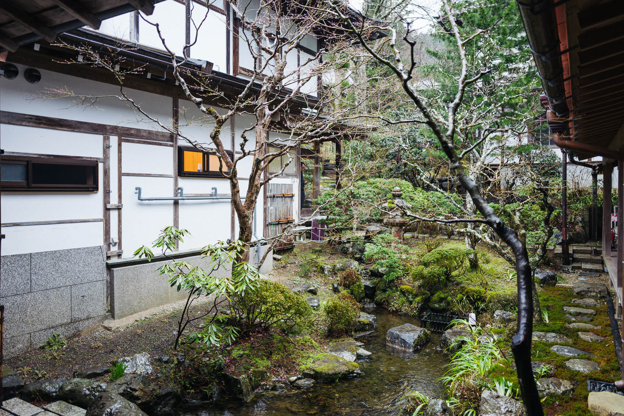
And a day that stops at one of the best inns on the Kumano: Kiri-no-Sato Takahara. Beautifully maintained, relatively new. An inn built by hands that share a love of detail.
Good food. Cold beers over a panorama of the valley below. The kind of inn that inspires fantasies of holing up for a few lazy days with a good book or two.
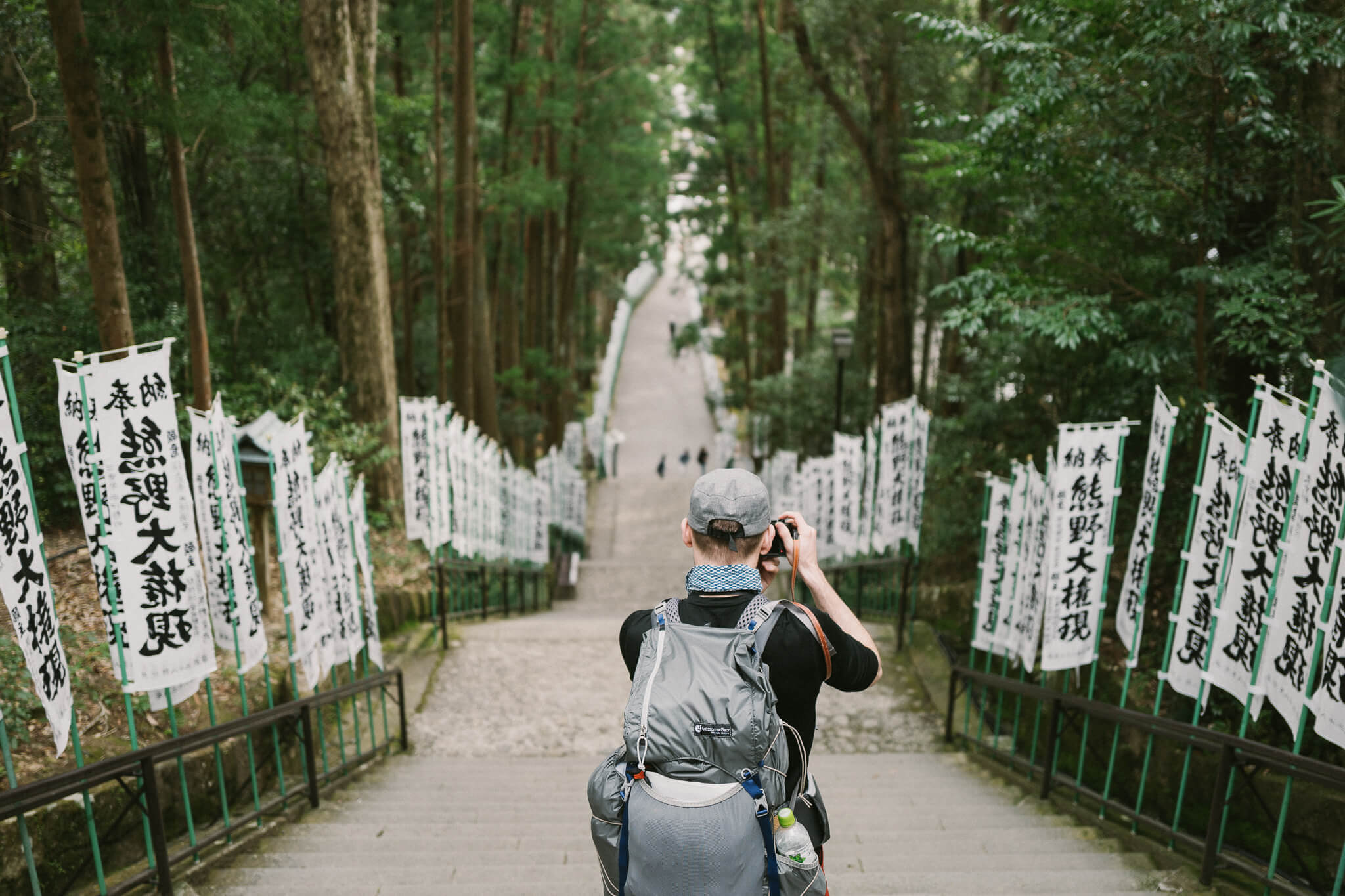
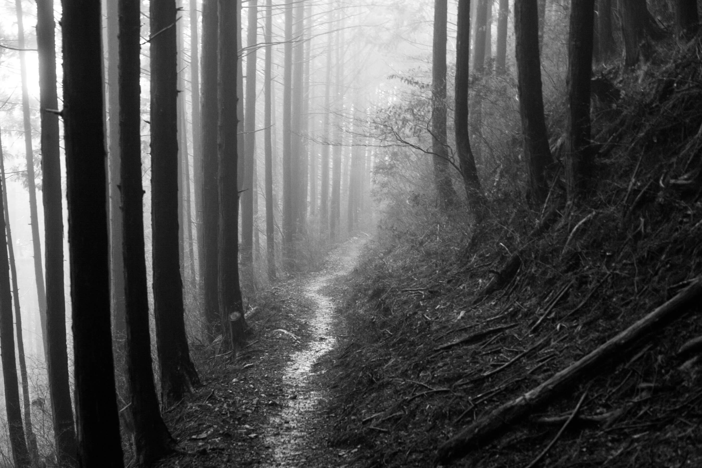
Takahara to TsugizakuraDay 2
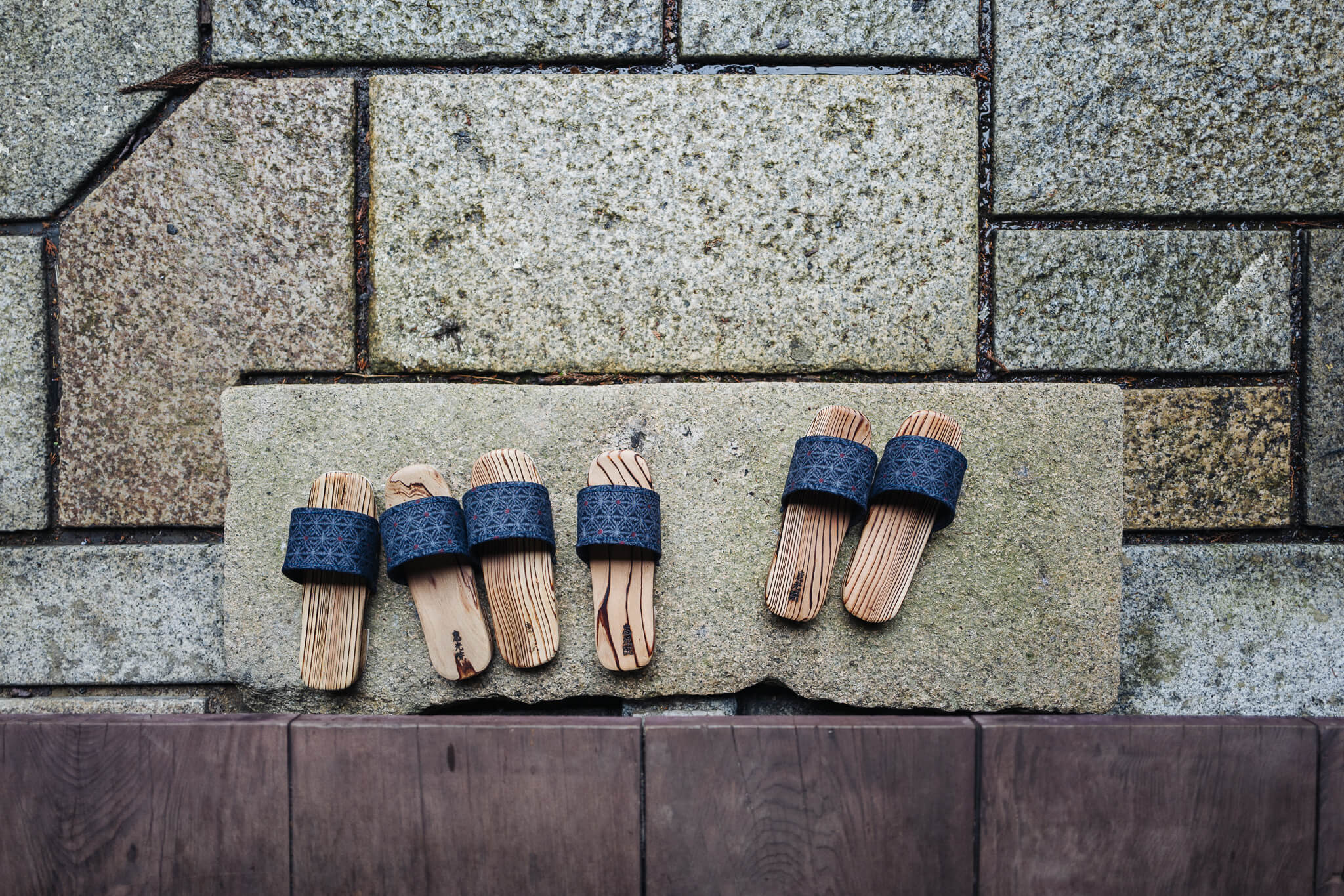
Shoes
Define pilgrimage: a journey to a place associated with someone or something well known or respected.
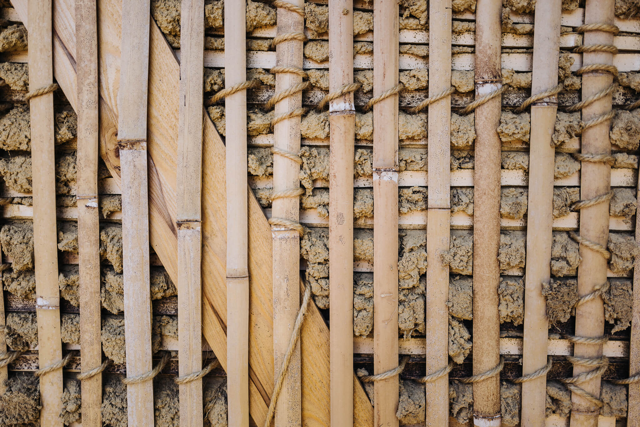
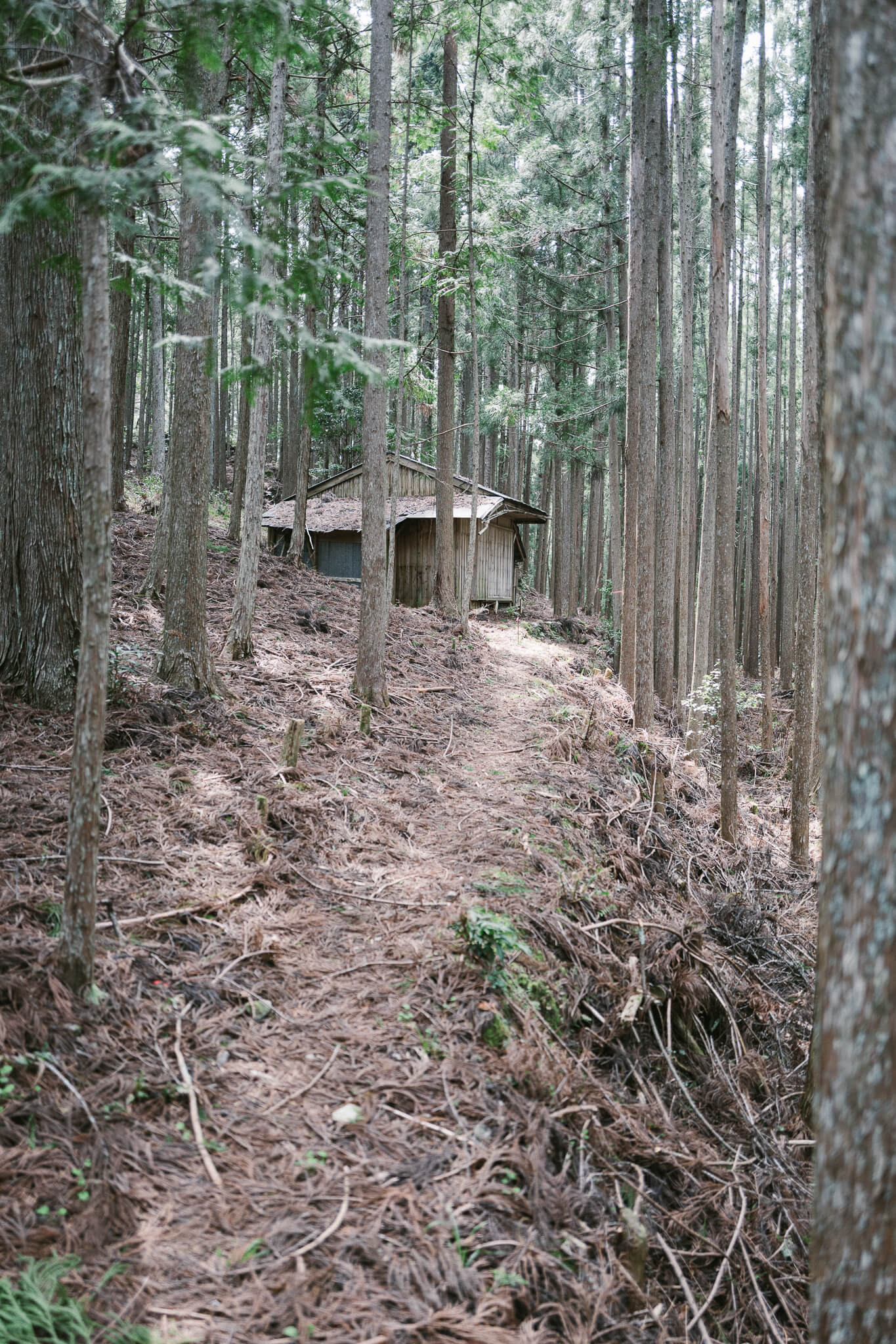
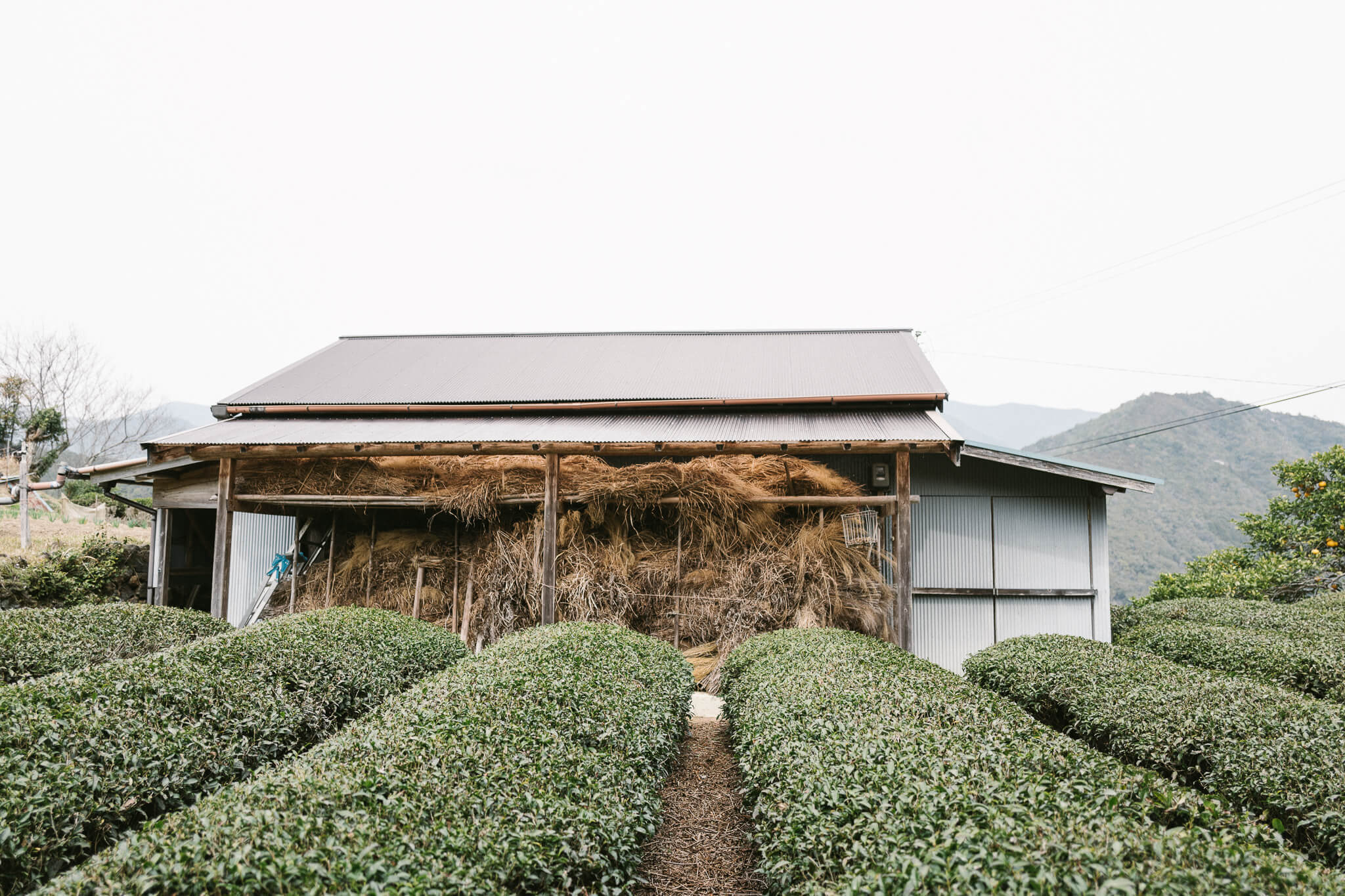
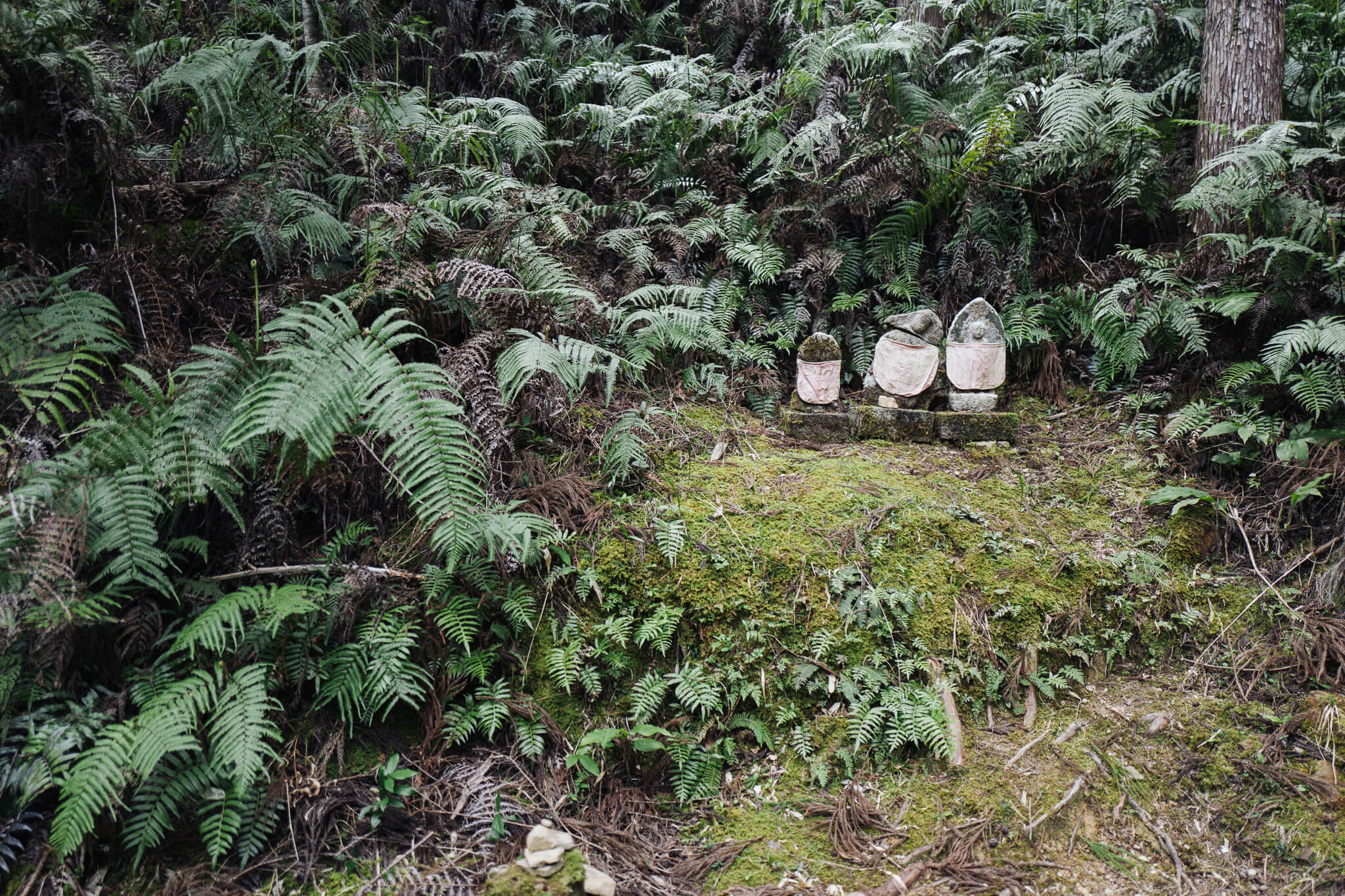
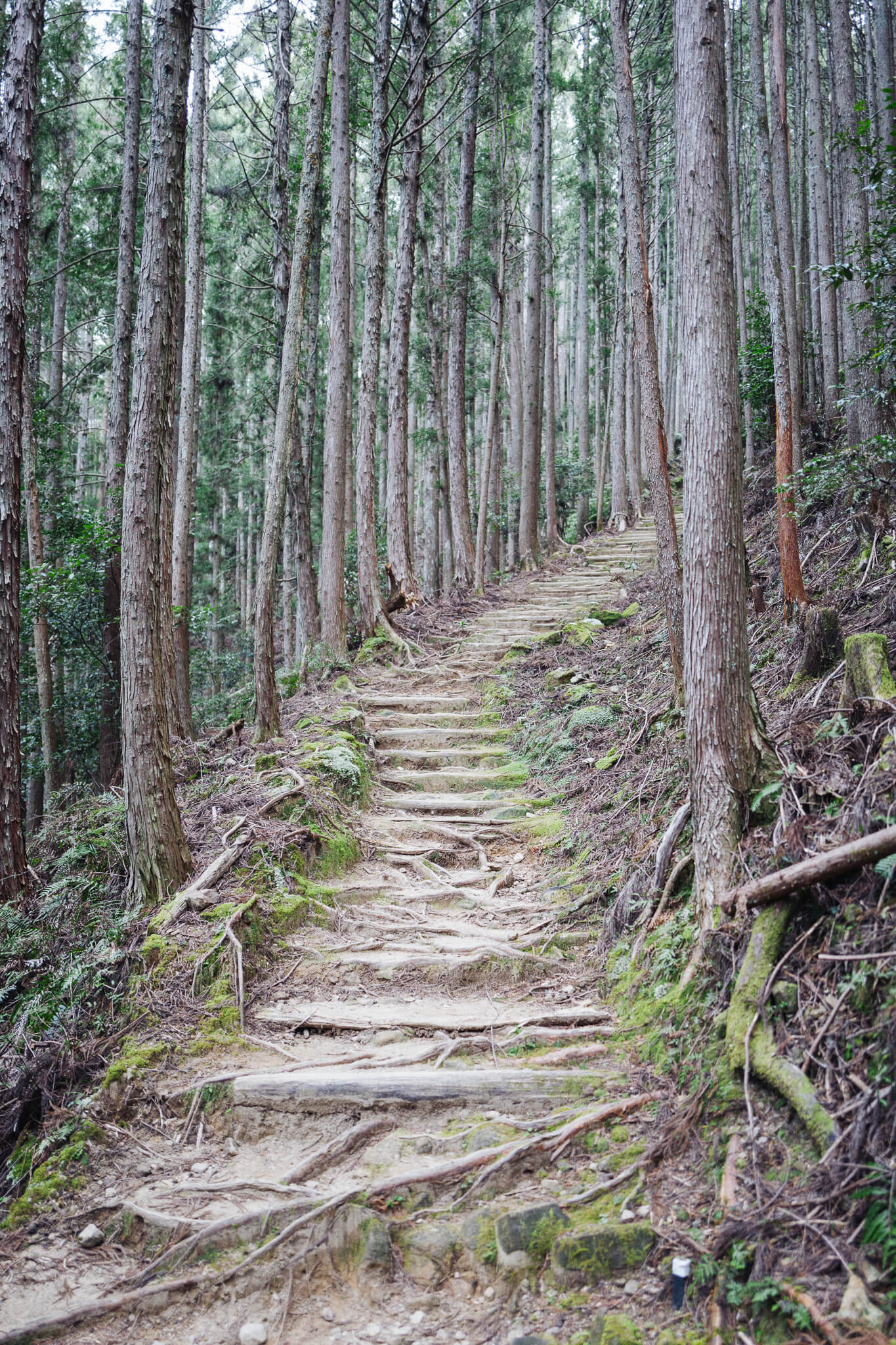
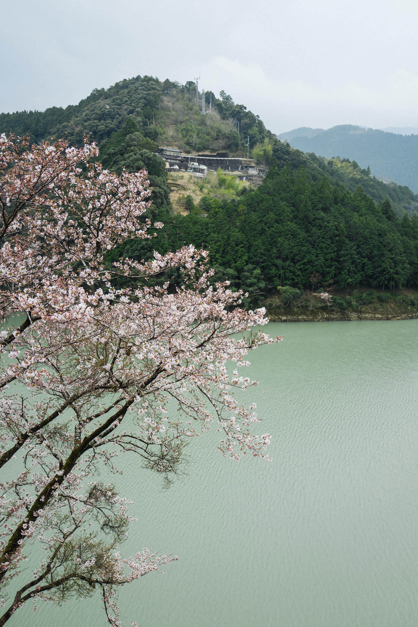
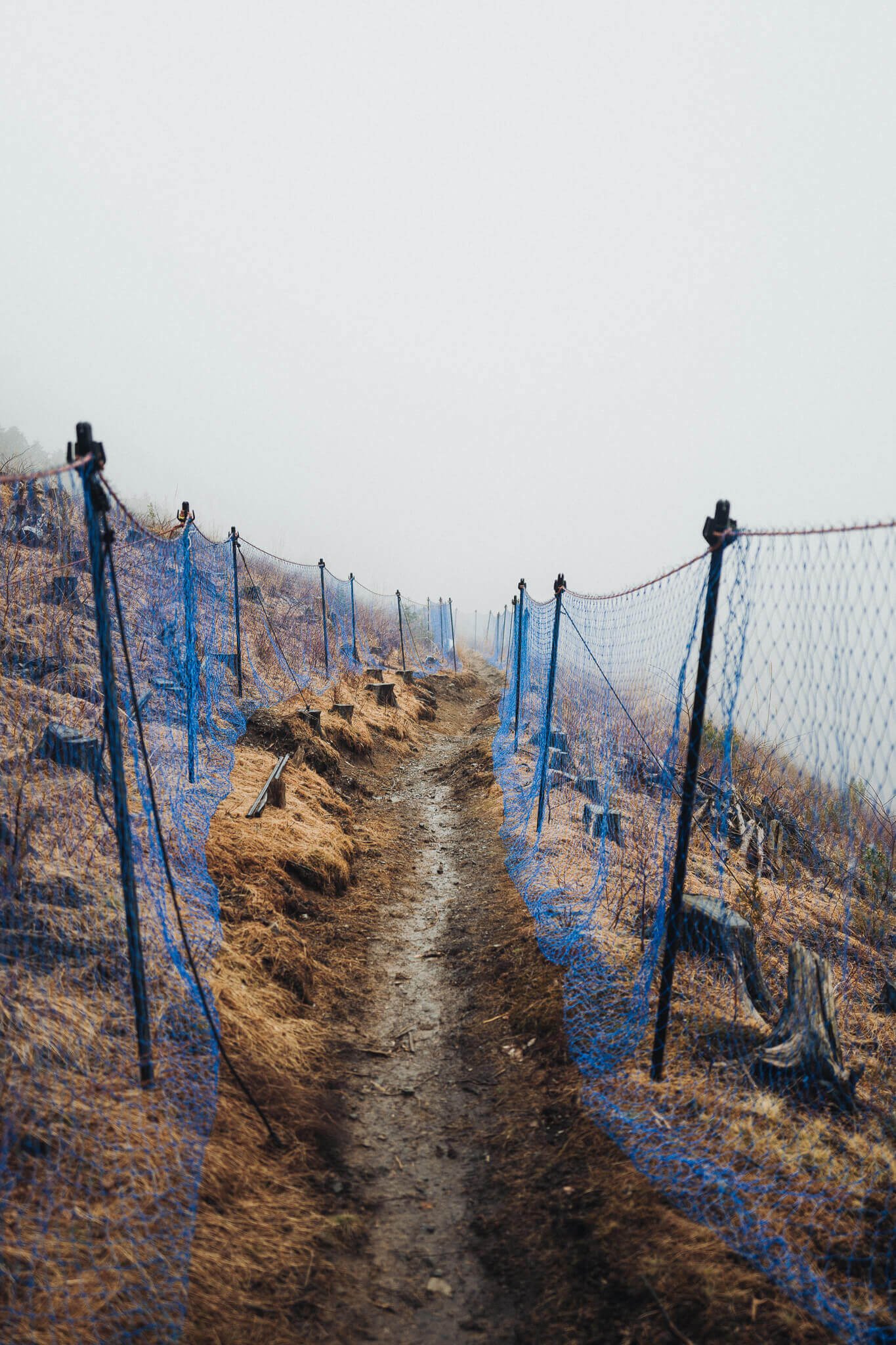
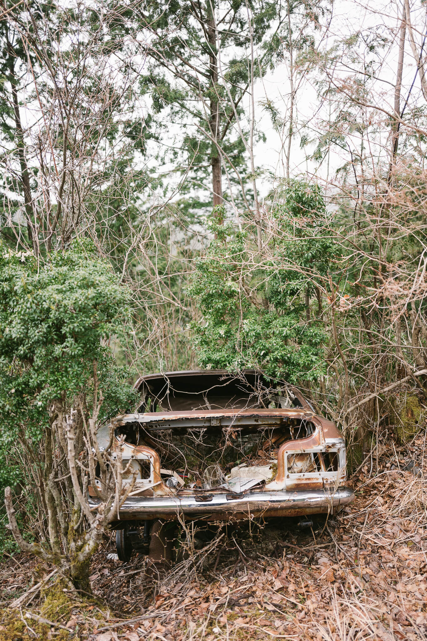
What are the words of Kumano? Steps: ishidatami. Figures: jizo, kannon. Farmers, in part. Farms. Farming. Rice to be harvested or planted. Tea bushes, powder puffs of green.
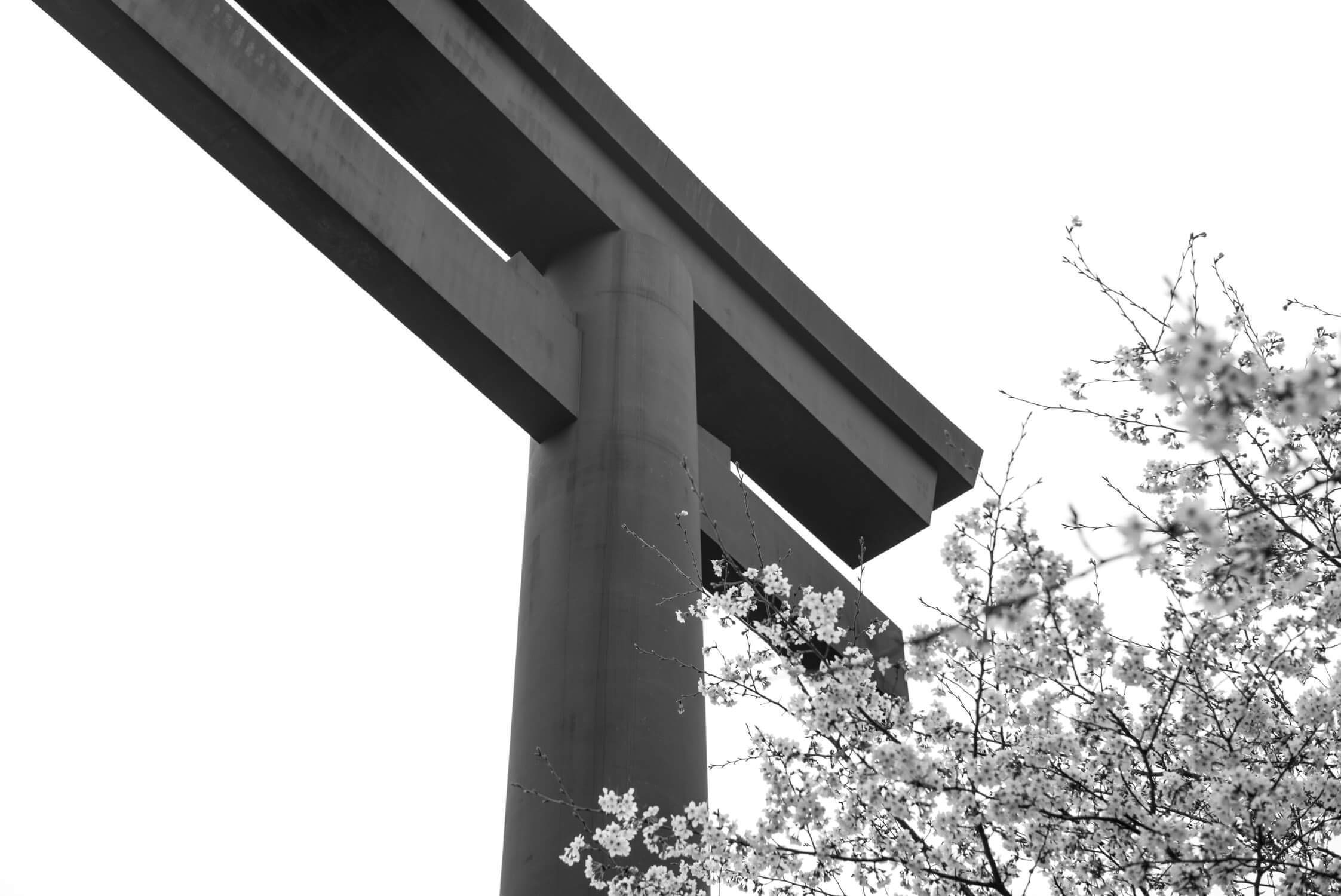
Perhaps most importantly are the words for Shinto and Buddhist entrances: Torii and mon. Making this pilgrimage uniquely syncretic.
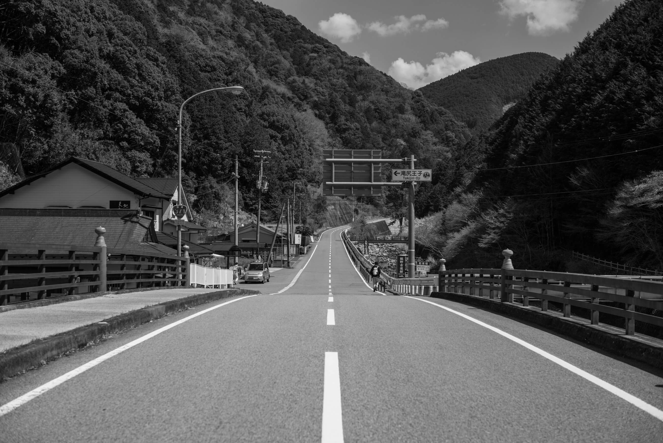
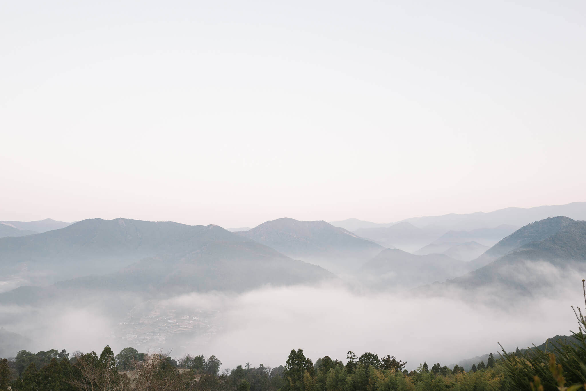
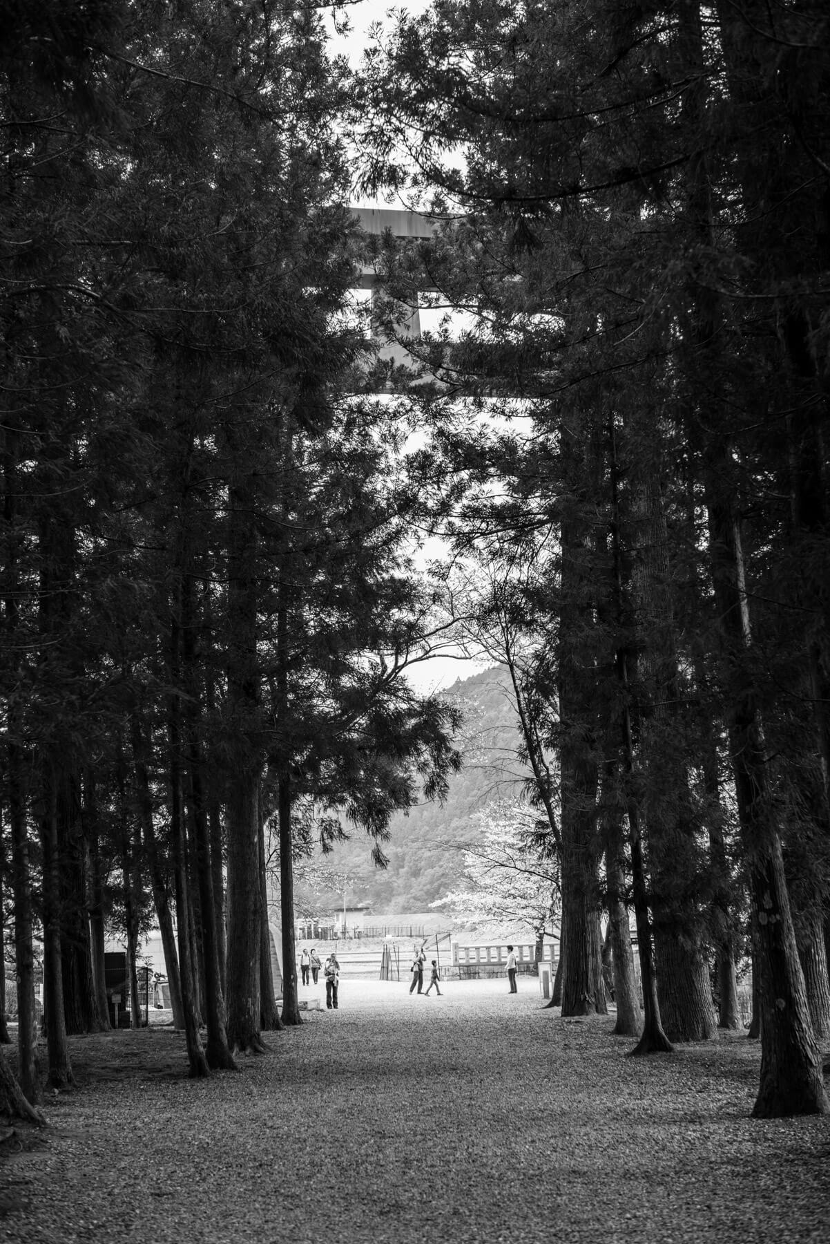
Day two begins with this view:
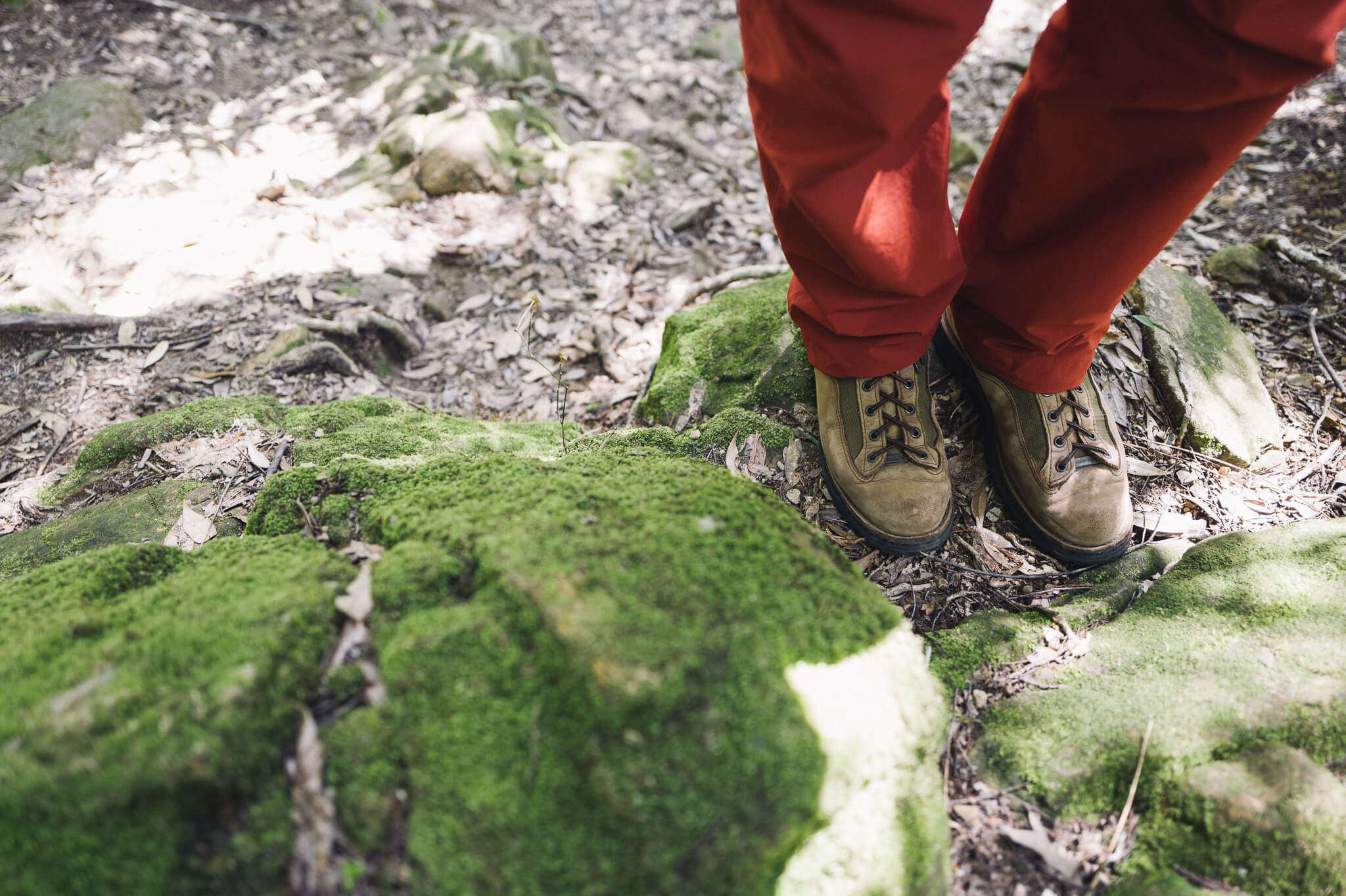
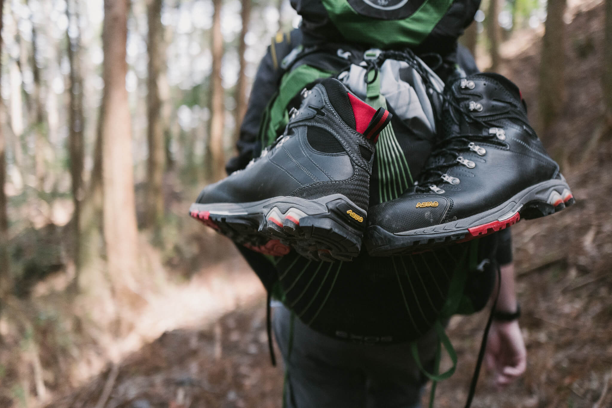
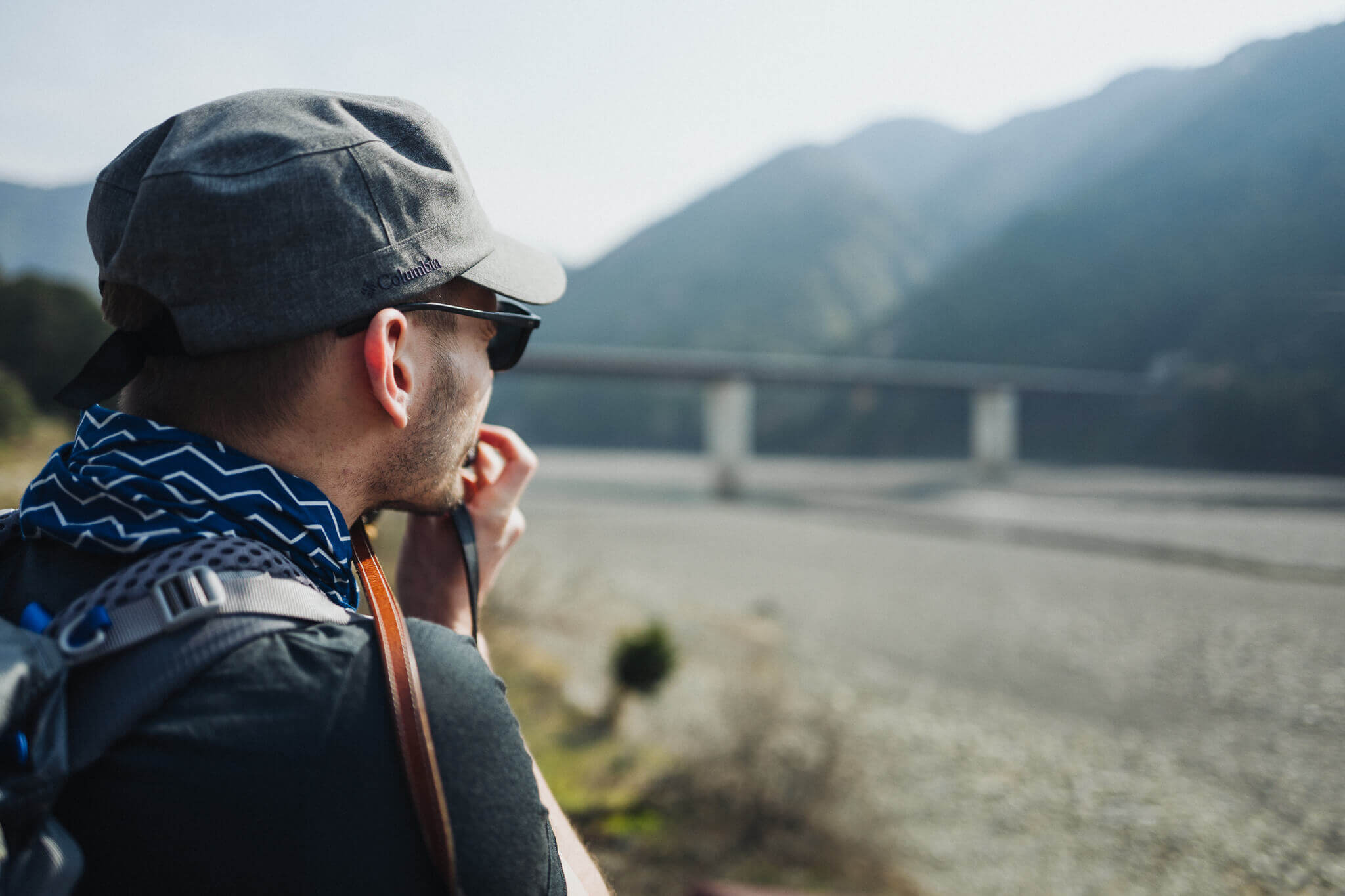
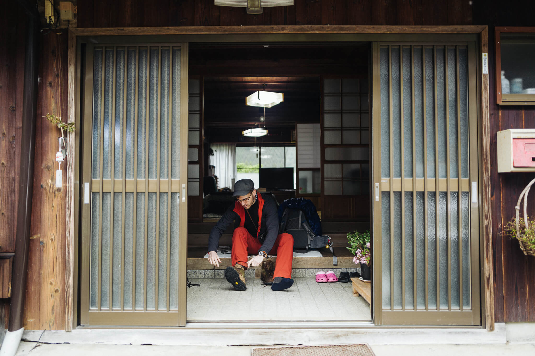
You need good shoes. We had good shoes. Although (our third partner in walking) Matt's feet had yet to acclimate to his good shoes (waterproof, solid ankle support), making them bad shoes. We found this out soon enough. (The feet, they do not take kindly to things not yet well broken in.) Thankfully he had extra shoes. Less robust shoes, but shoes which his feet liked. And therefore very good shoes. And so the shoe situation, from the start, was looking good, if a little complicated.
There's a rather unknown poet by the name of Thomas A. Clark. His poem In Praise of Walking has a great line about shoes: "Convictions, directions, opinions, are of less importance than sensible shoes." It's true — when out on a good walk, bad shoes render everything else moot.
We closed out our second day at Tsugizakura, a cute little town sprinkled with inns. 13km. A solid walk. Enough to feel like you've earned the evening's bath.
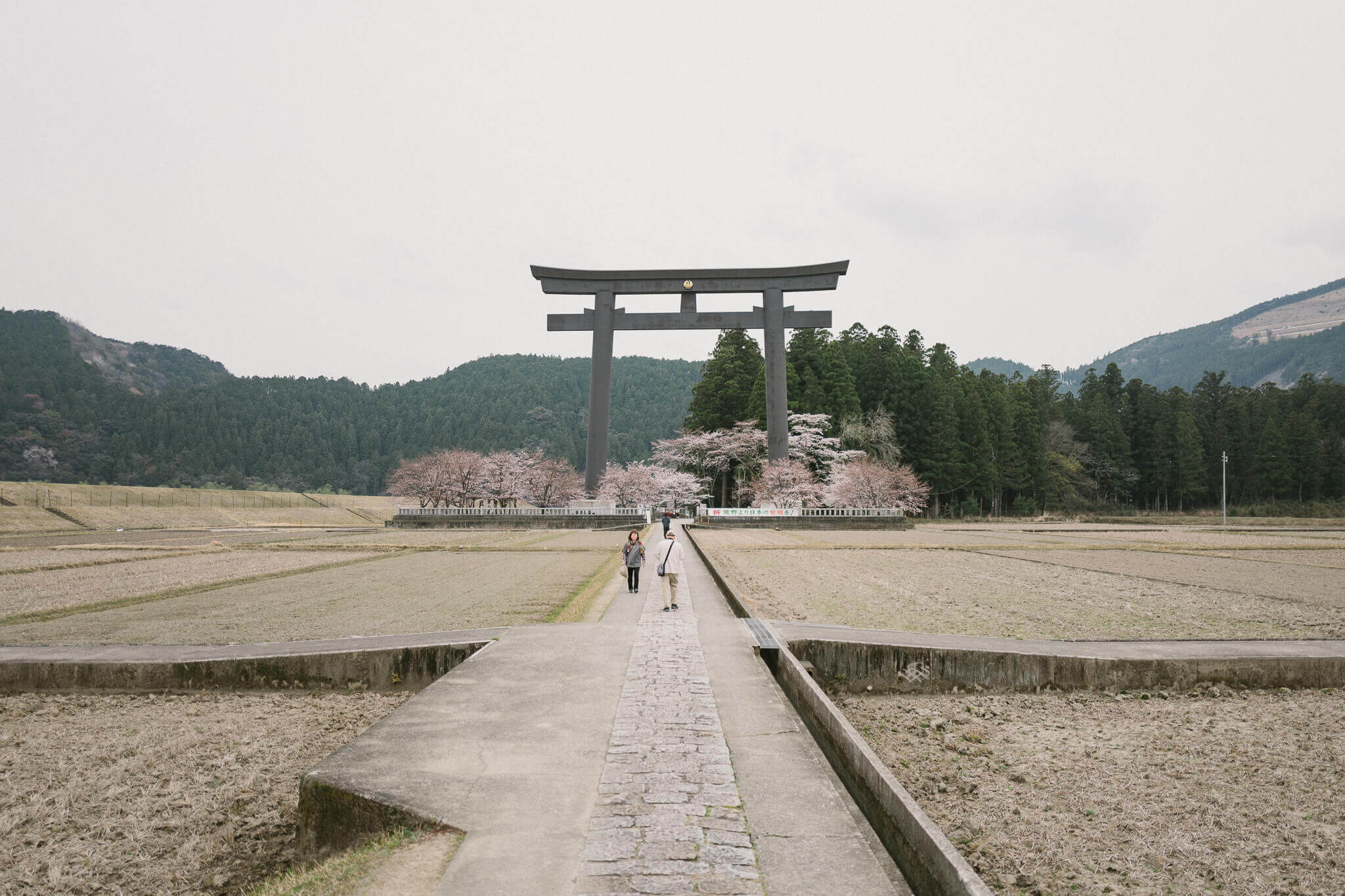
Tsugizakura to Hongu
(via Hosshinmon and Yunomine Onsen)Day 3
World Heritage Hot Water
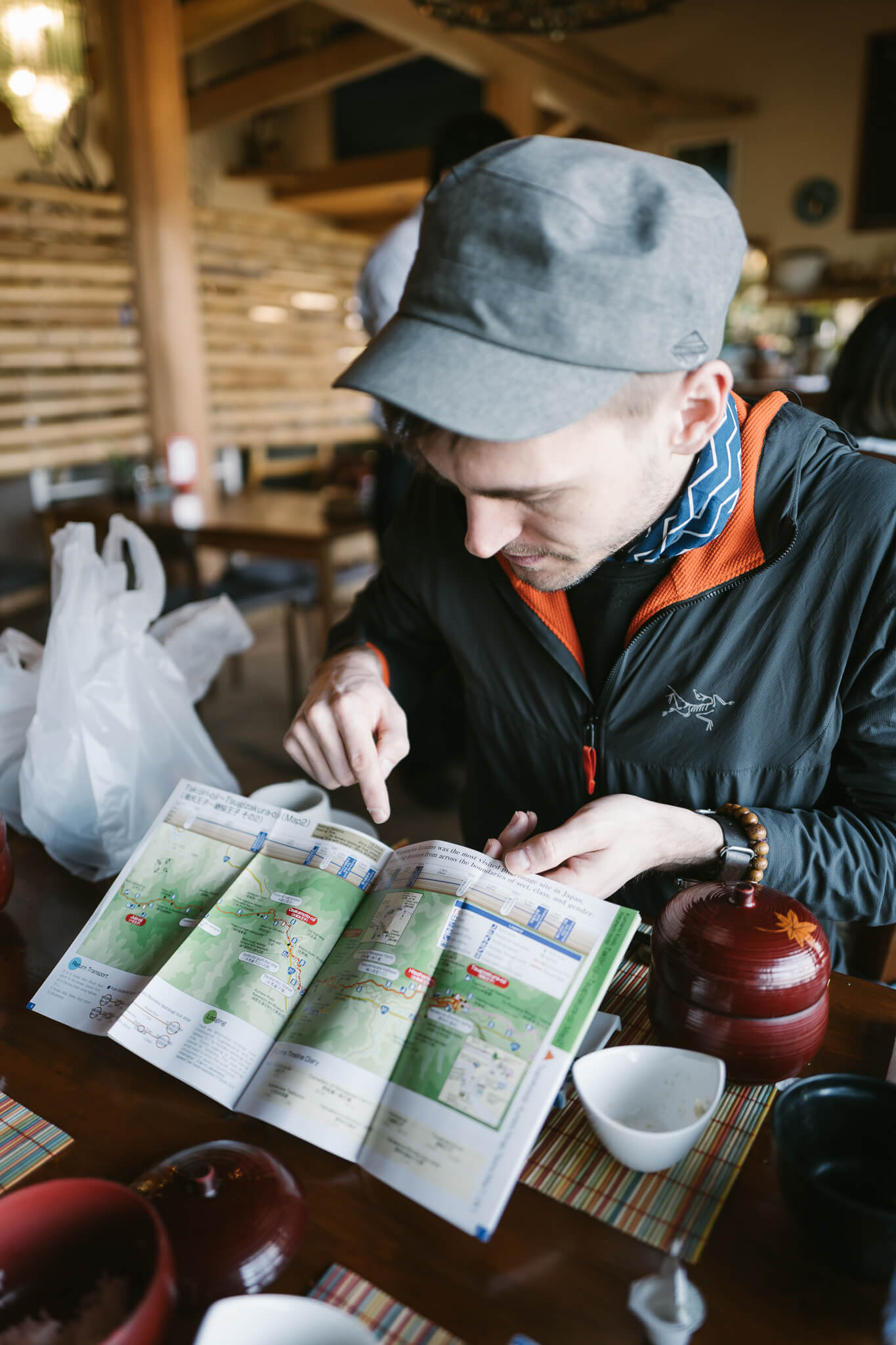
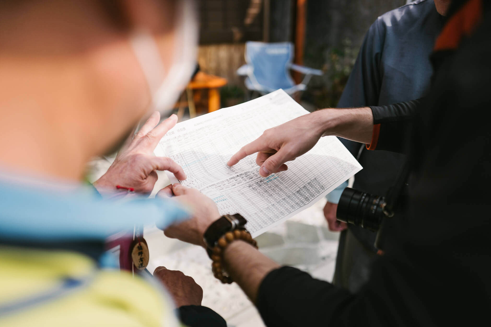
We cheated this morning. We bused down to Hongu and up to Hosshinmon. It's one of the few cheat points on this walk. It's part cheat, part efficiency. I'm told the walk over from Tsugizakura isn't that great (much of it is on roads), so we optimized for better walks given our limited time.
Hosshinmon to Hongu was supposed to be a gem, and although I'd done parts of the Kumano twice before, I had never done this leg.
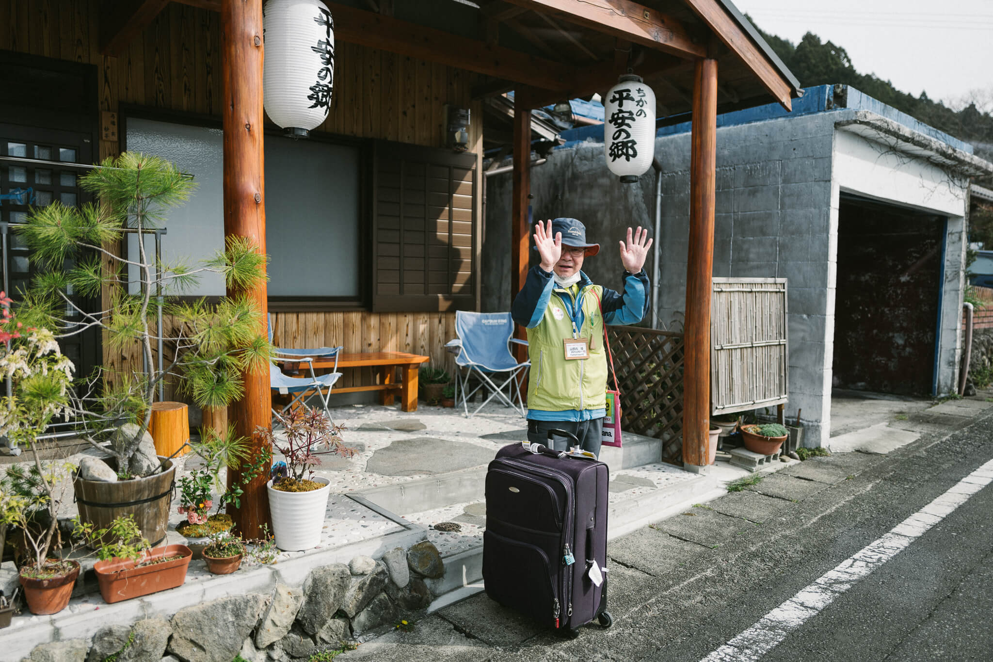
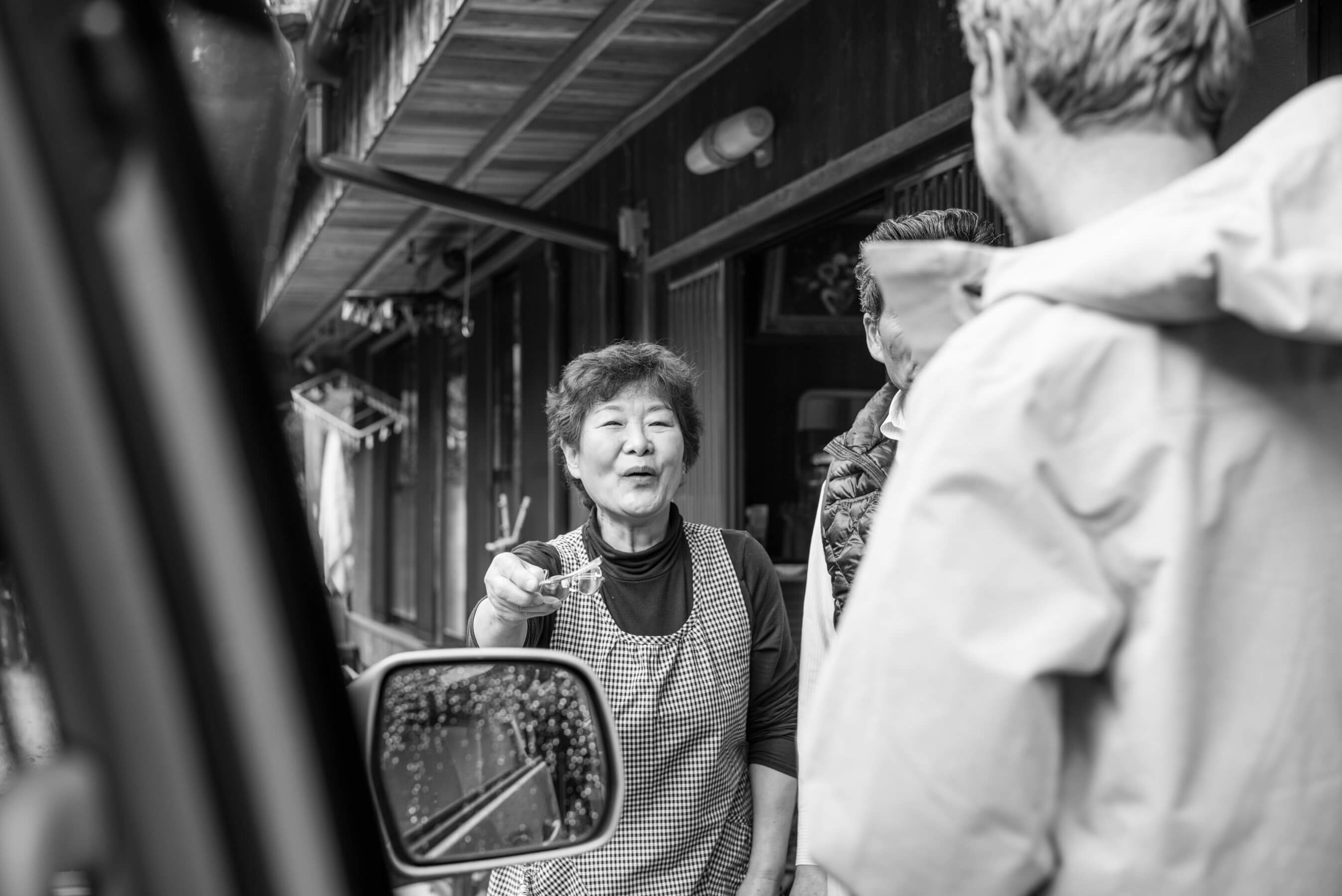
The proprietors of Minshuku Tsugizakura drove to the bus stop — just five minutes down a steep road — and we said goodbye in a flurry of thank yous and waving and bowing.
Hosshinmon to Hongu
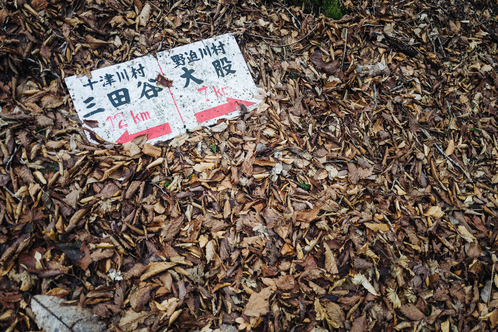
You can see on the map where we would have walked: Draw a line between Tsugizakura and Hosshinmon.
The bus dropped us at Hosshinmon, timed perfectly to collide with a giant tour group coming out of the woods. At this very moment we saw more people than we'd see over all eight days. (In fact, from Hongu to Koya-san we saw only five or six people in total, including one Japanese guy dressed in radioactive yellow from head to toe — he looked like a nuclear power plant worker. He'd been sleeping in sheds.)
And so we began the walk from Hosshinmon down to Hongu in a trot to place some distance between us and the hordes, to reestablish a sense of stillness and solitude that makes these walks in the woods so special.
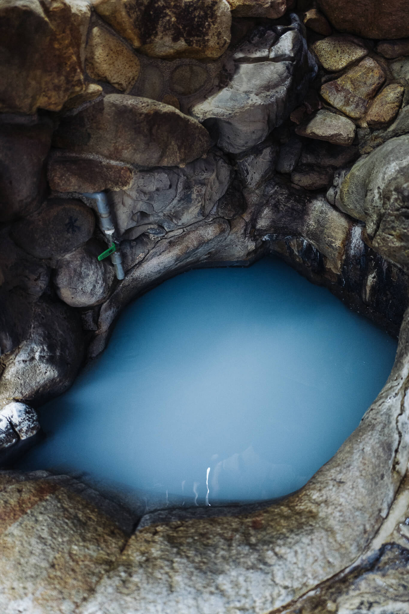
We descended down the back of Hongu Taisha, into town, and to our guesthouse — Blue Sky (Aozora) to drop off bags. We were then off to climb Dainichigoe, a pass between Hongu and Yunomine. The goal was to sneak a quick dip in Tsuboyu — the only world heritage registered public bath, an attempt to purify ourselves in a nod to old rituals — and then grab a bus back for dinner.
Hongu to Yunomine Onsen (Tsuboyu)
The start of the Dainichigoe climb.
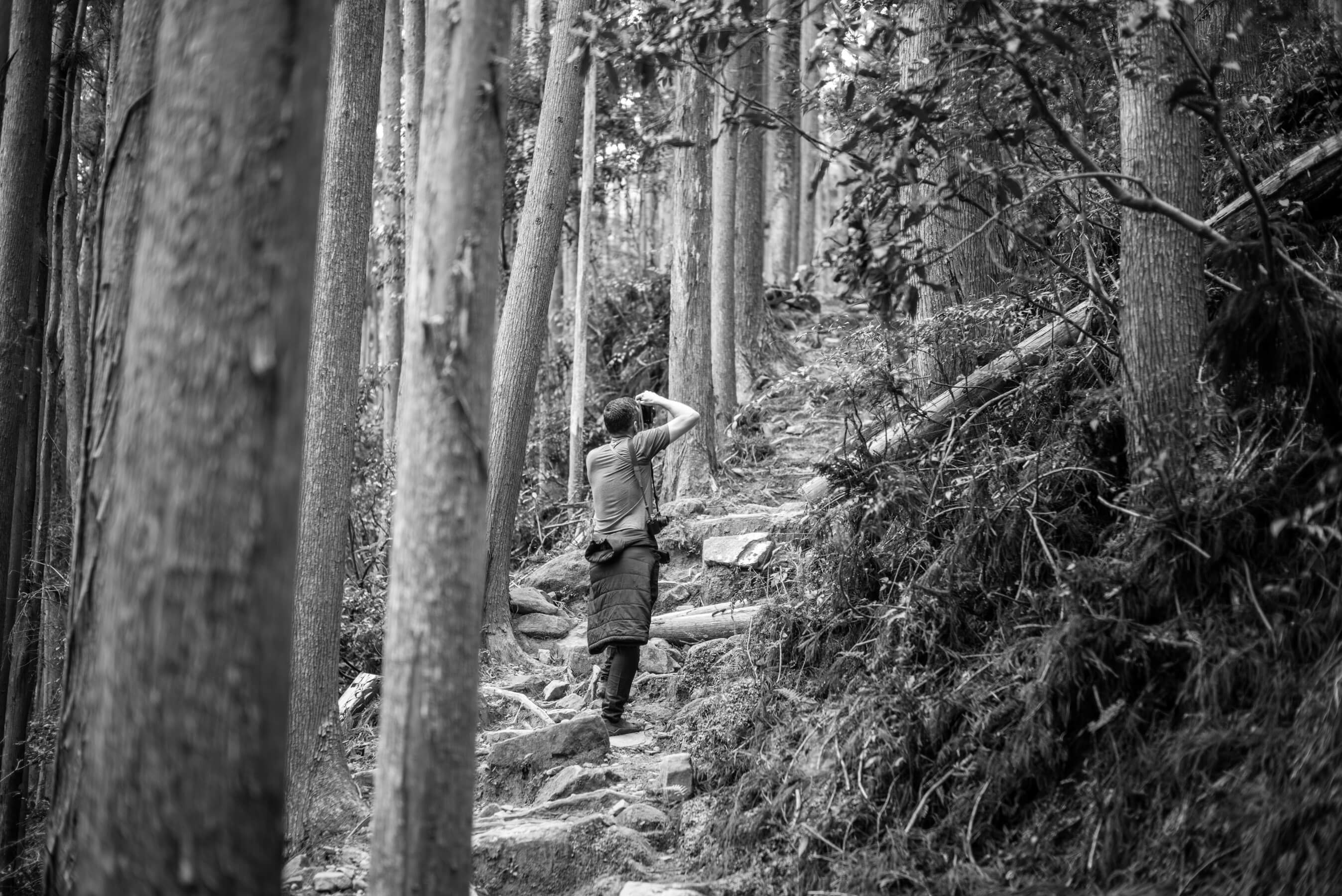
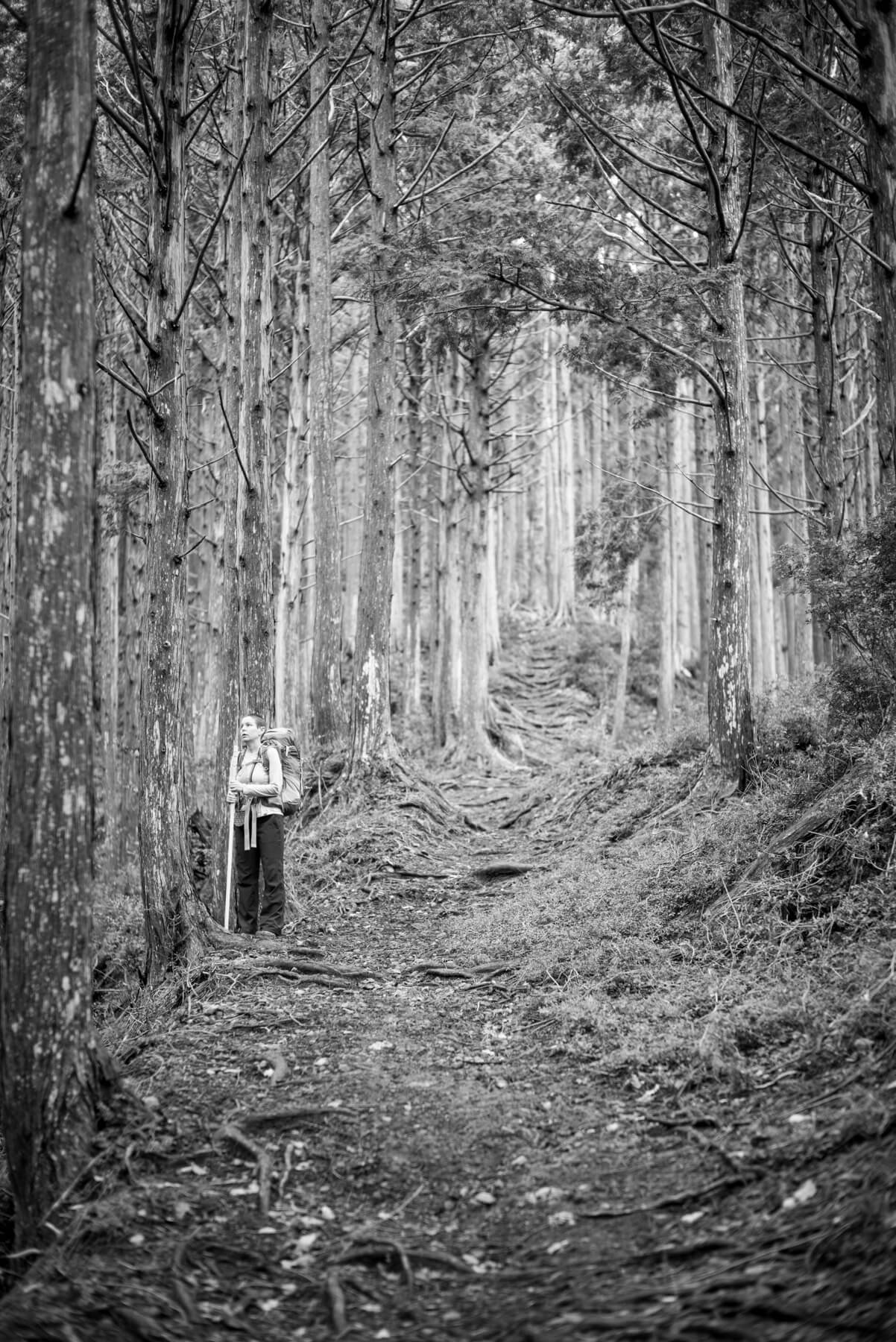
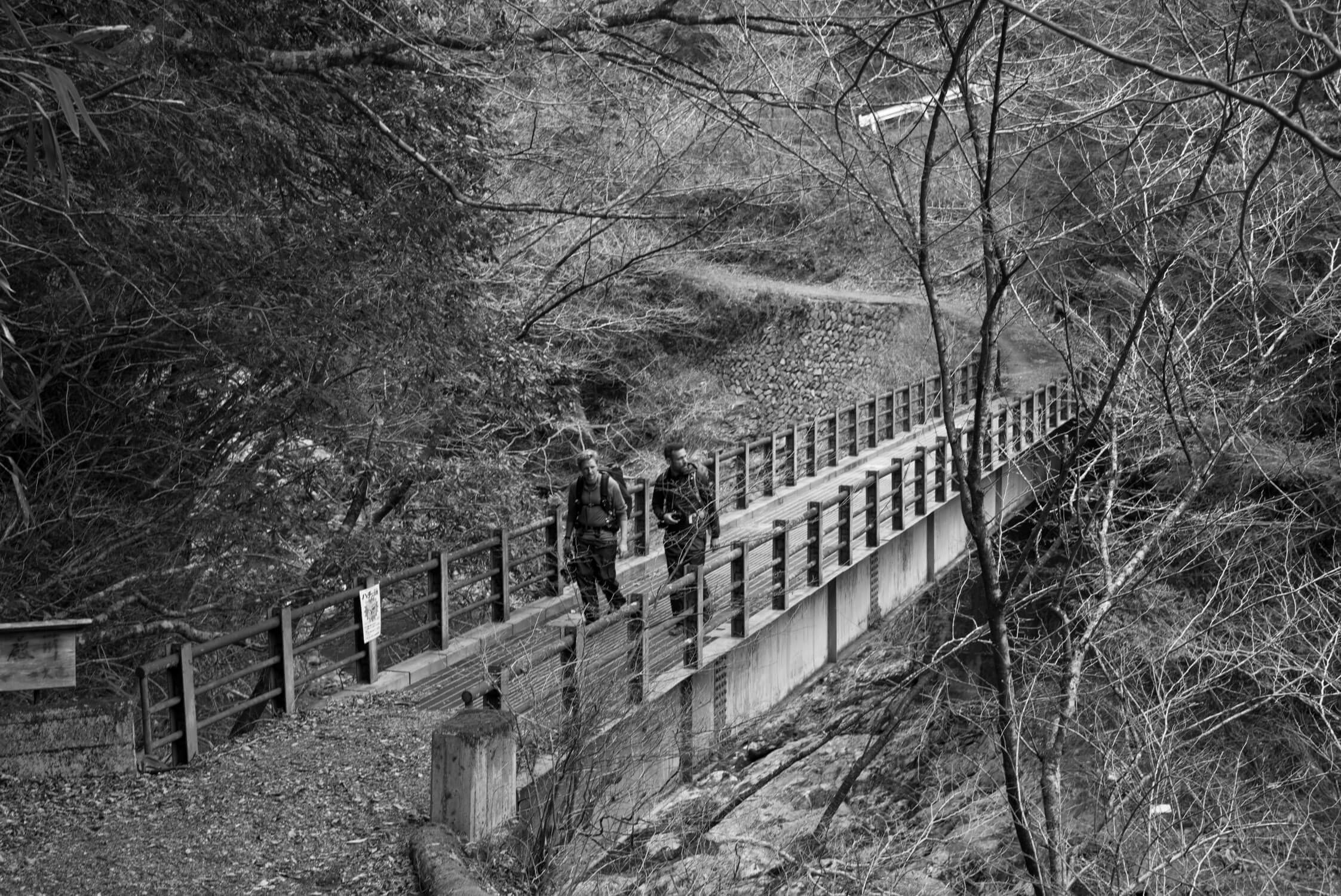
We walked it from Hongu to Yunomine Onsen, but each year on the 13th of April, fathers dip their young sons in the waters of Yunomine, and then carry them over the pass on their shoulders — bringing them all the way to Hongu shrine. It's a steep walk, with lots of knotty roots, and one which seems unnecessarily perilous to do at night, let alone with a child on your shoulders. We walked it in reverse with no packs. Just cameras. Shooting in silence in the shade of cedars, shielded from the afternoon sun.
Yunomine Onsen back to Aozora Guesthouse
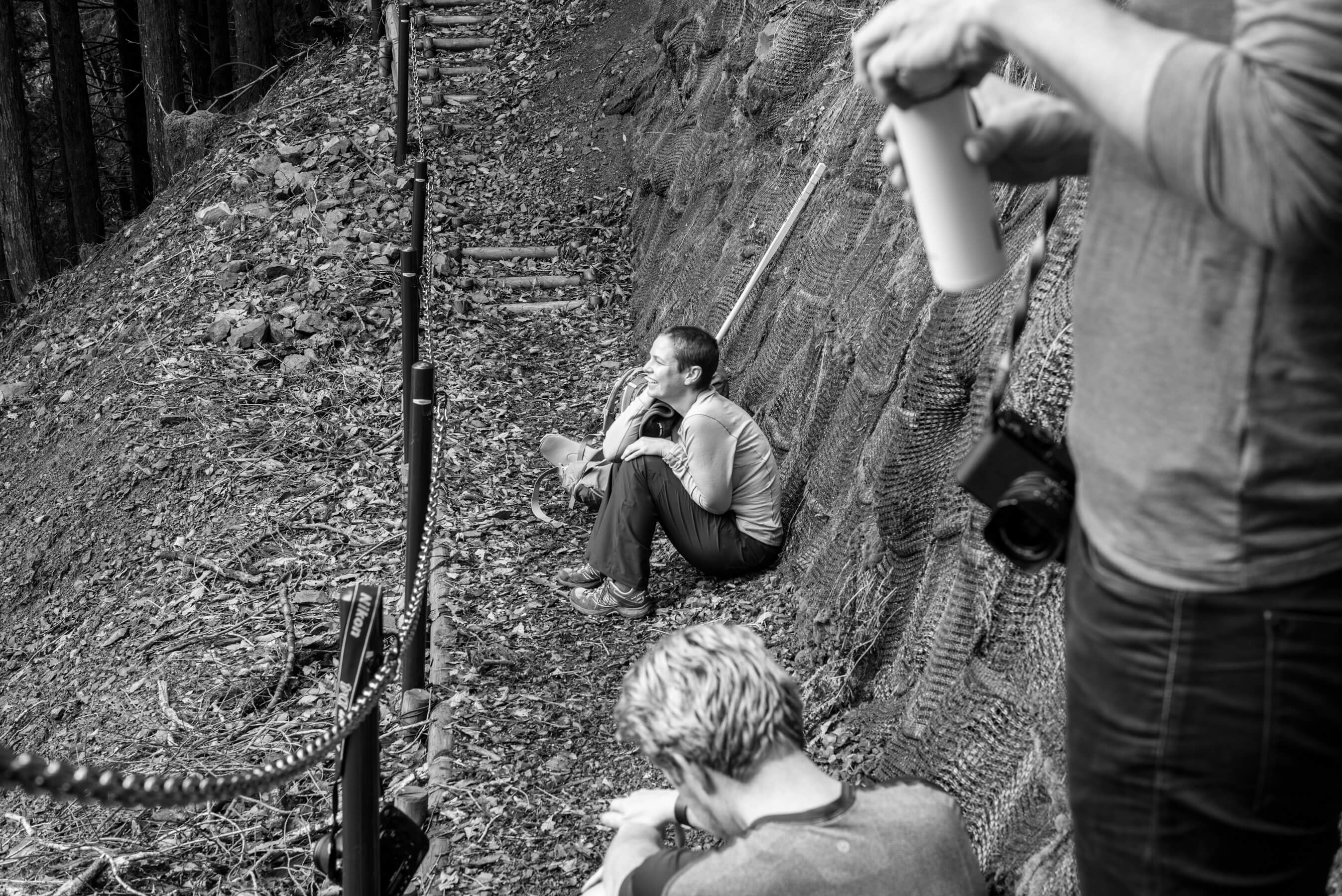
Bathing success! All three of us squeezed — knees knocking, chuckling at our absurdity — into Tsuboyu (that tiny blue-tinted hole above). We then hopped on a bus back to our guesthouse and to what felt like a well earned dinner.
This was our most disjointed day — the least linear of all the days. A hodgepodge of cuts and jumps. But seeing Tsuboyu seemed like an appropriate priority. A kind of self-blessing for the rest of the journey. And, anyway, it's not every day you get to shimmy into world heritage water.
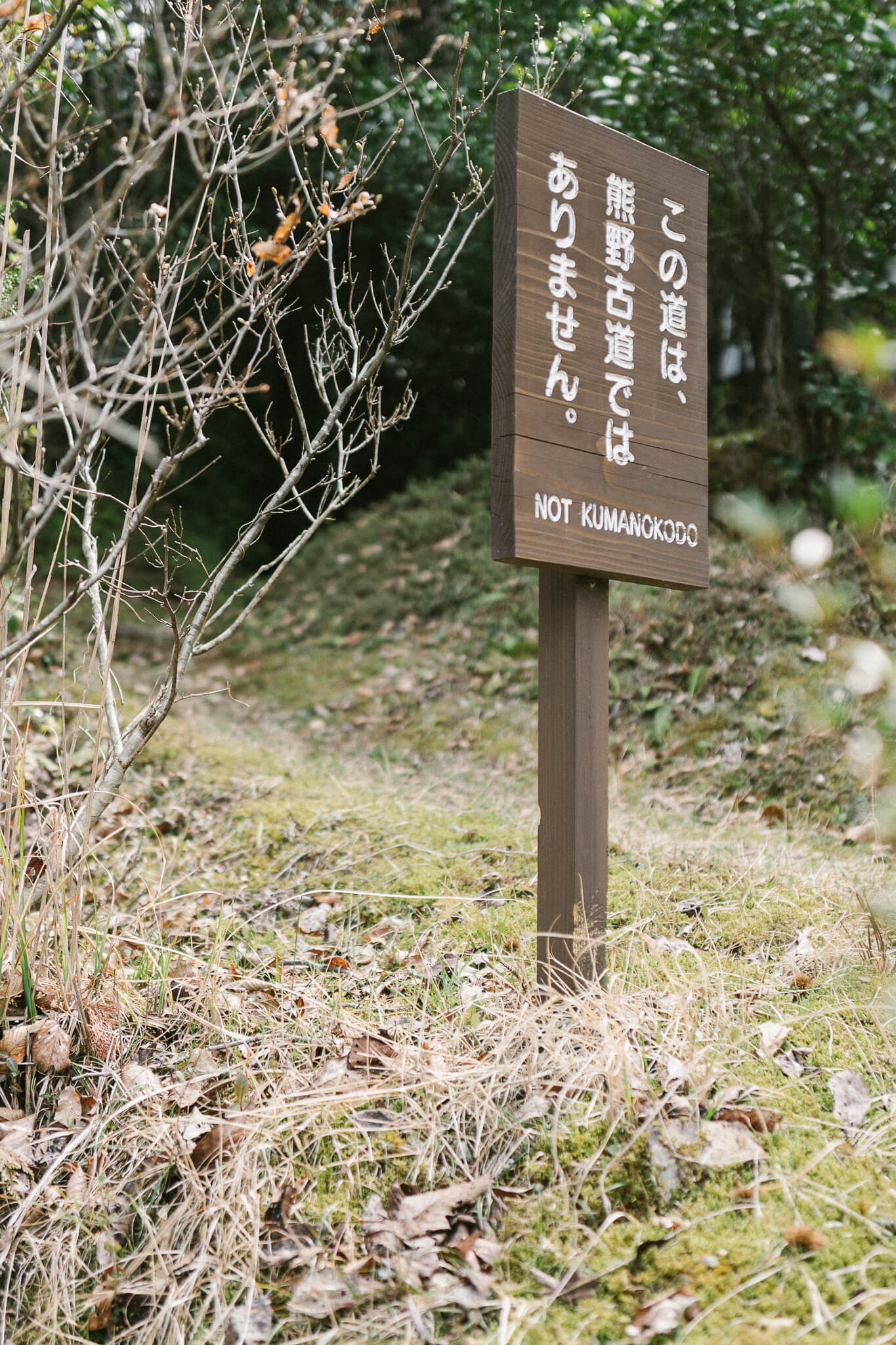
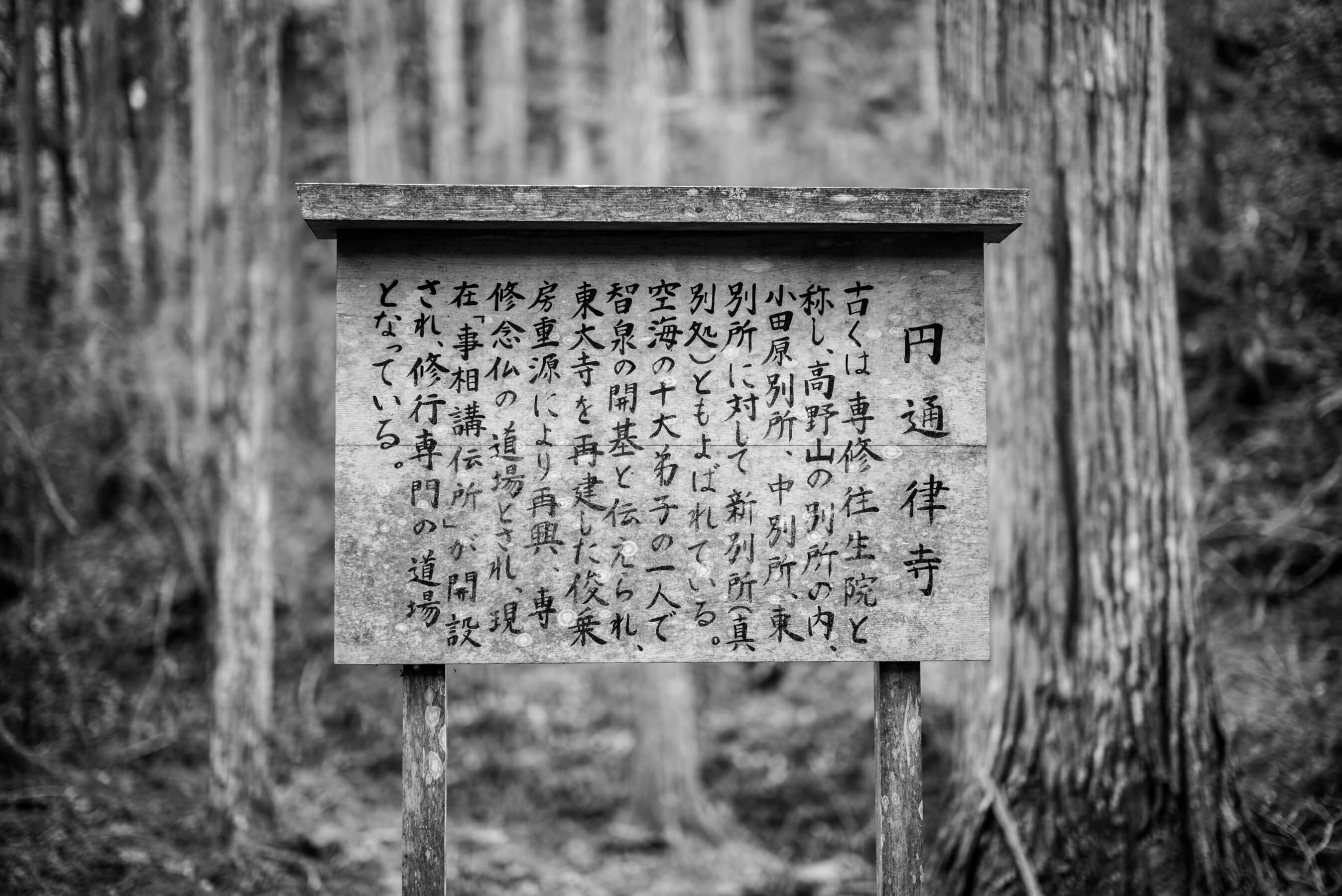
Today also marked the end of our walk on the Nakahechi. Kumano Kodo is sliced into roughly three main routes — Nakahechi, Ohechi, and Kohechi, although they don't align in any strictly linear way.
If you were to choose one "official" route it would probably be to continue south on the Nakahechi: From Takijiri to Hongu, and then from Hongu to Hayatama Taisha in Shingu via the villages Koguchi and Nachi. But our end goal is north. Gleefully contrarian. And so we bathed and slept and dreamt of things up and beyond.
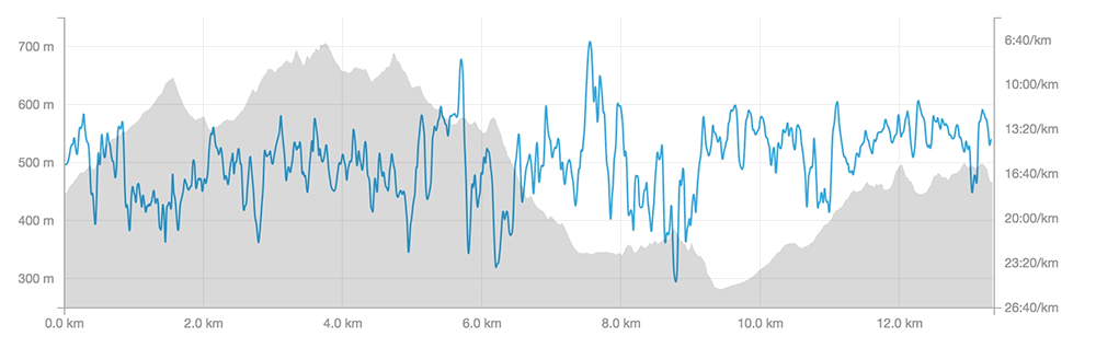
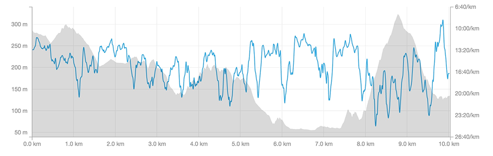
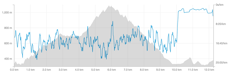
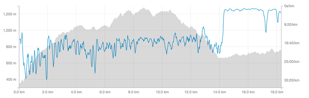
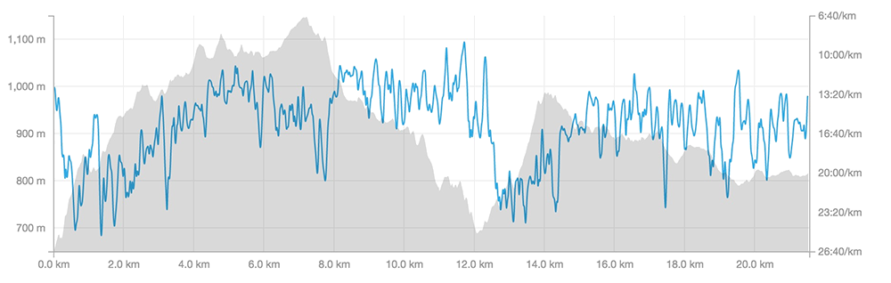
The day's data
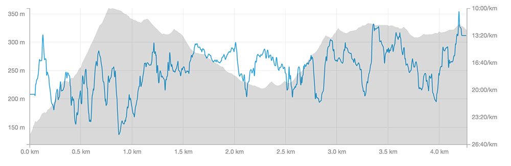
- Walking: 10.0km, 457m of elevation gain
- Lodging: Aozora (Bluesky) Guesthouse
- Strava data
Hongu to Totsukawa OnsenDay 4
The first push
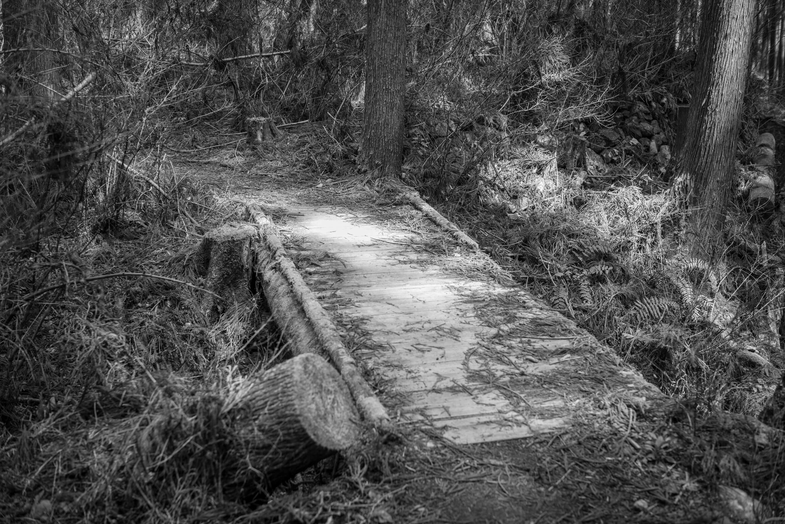
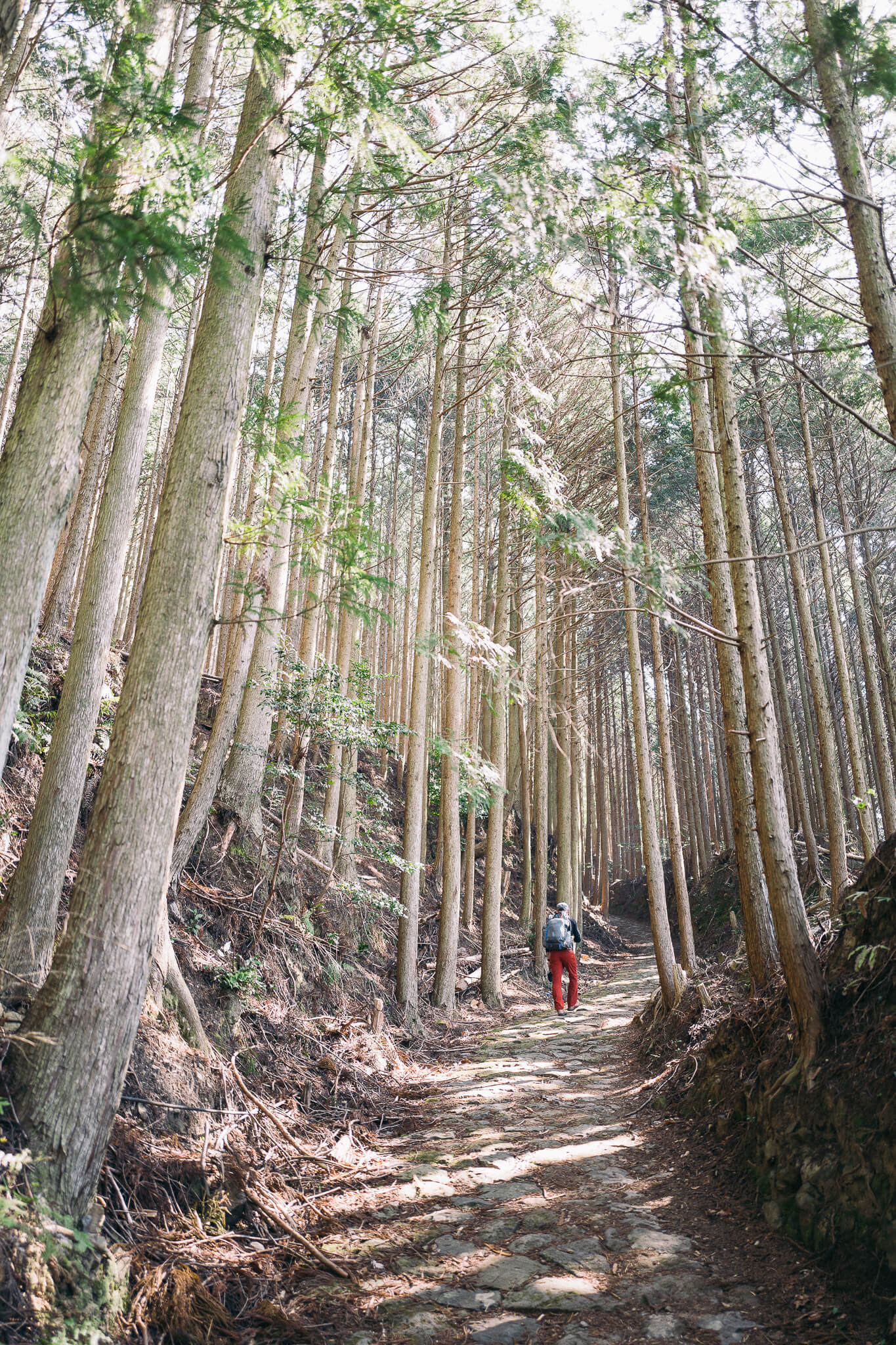
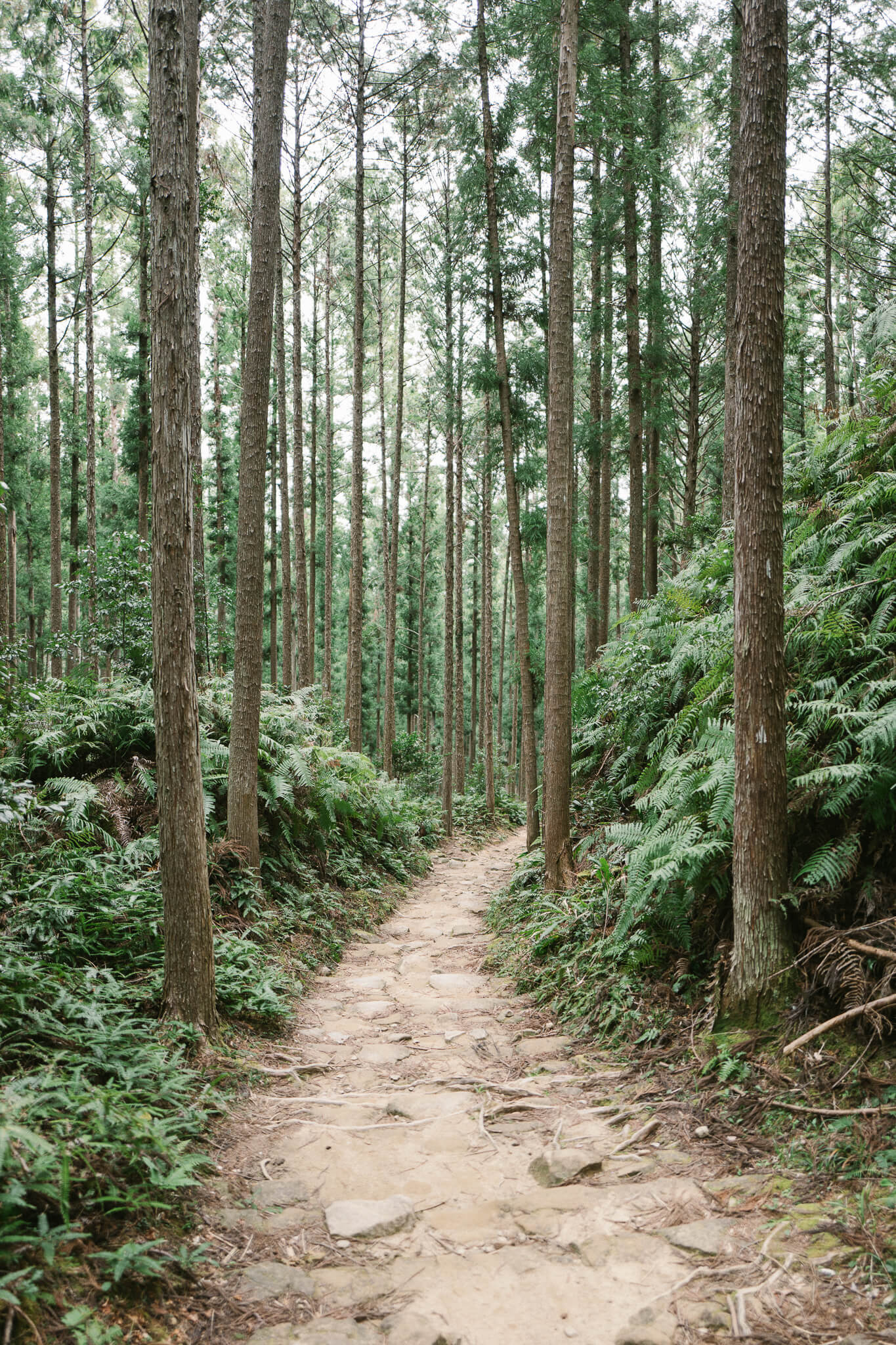
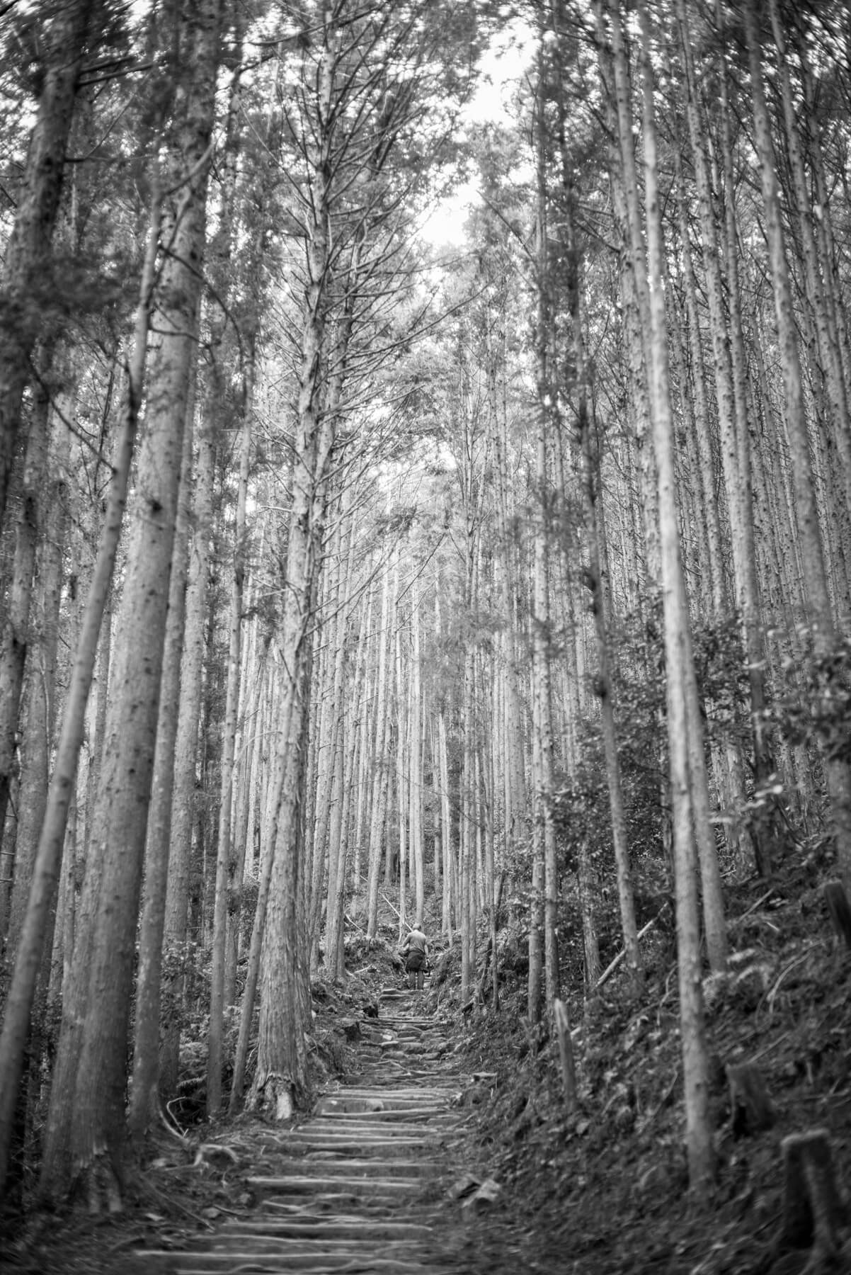
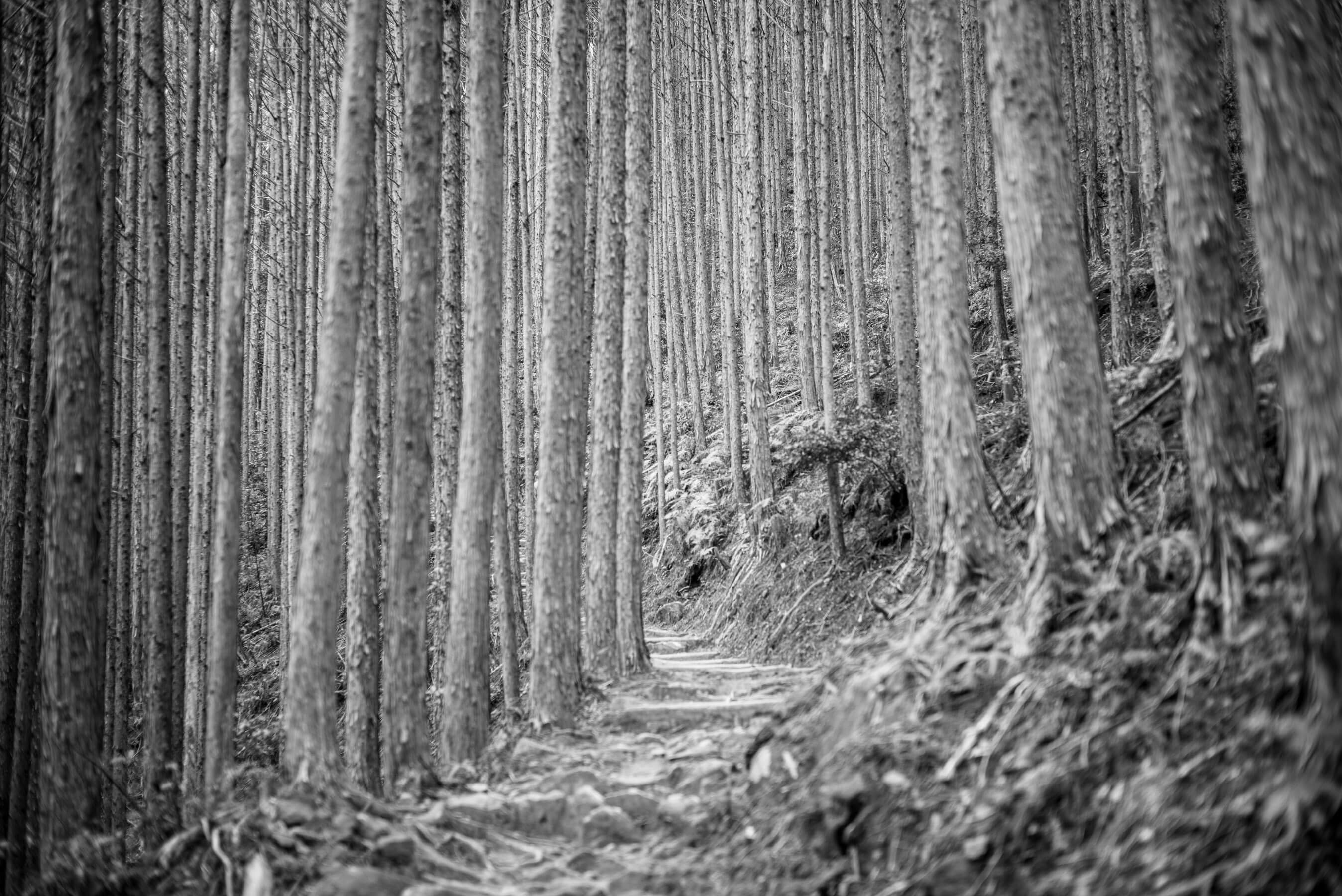
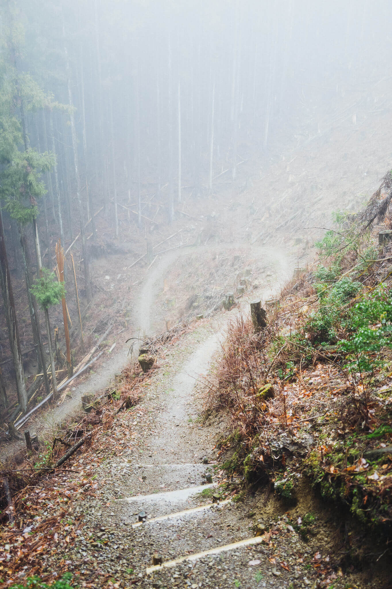
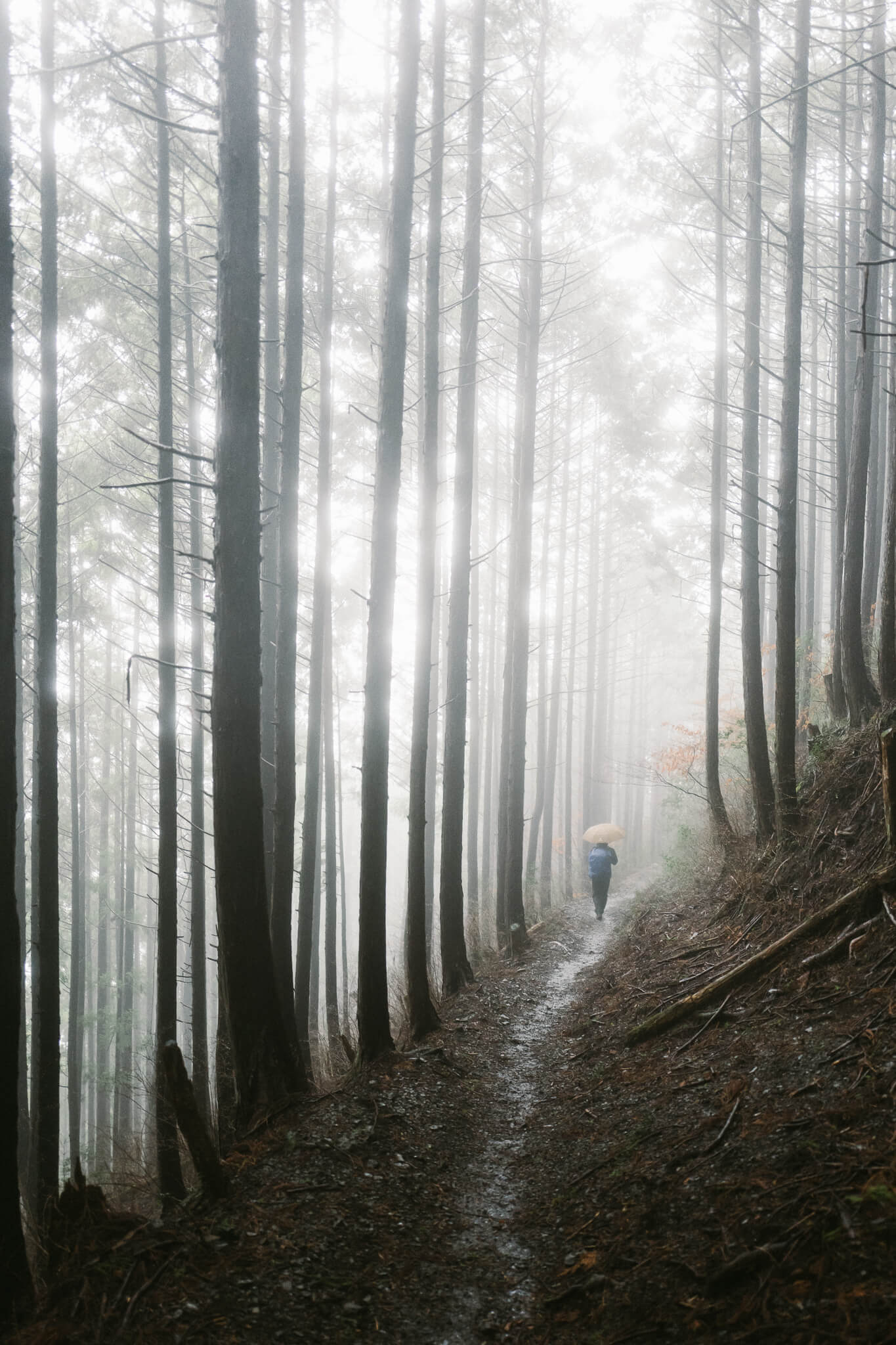
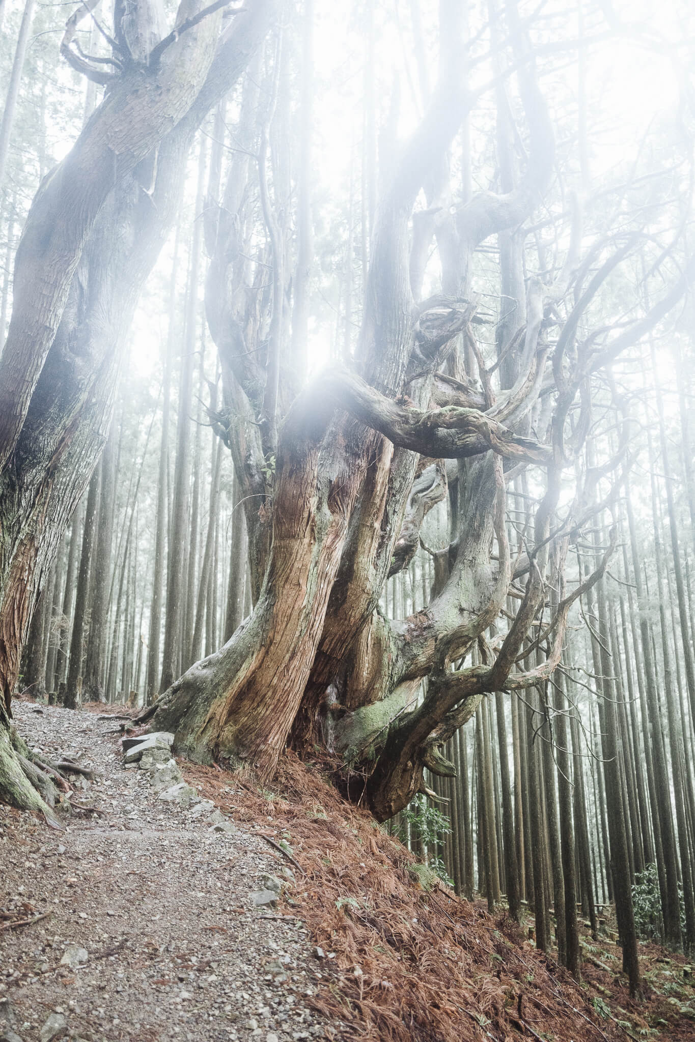
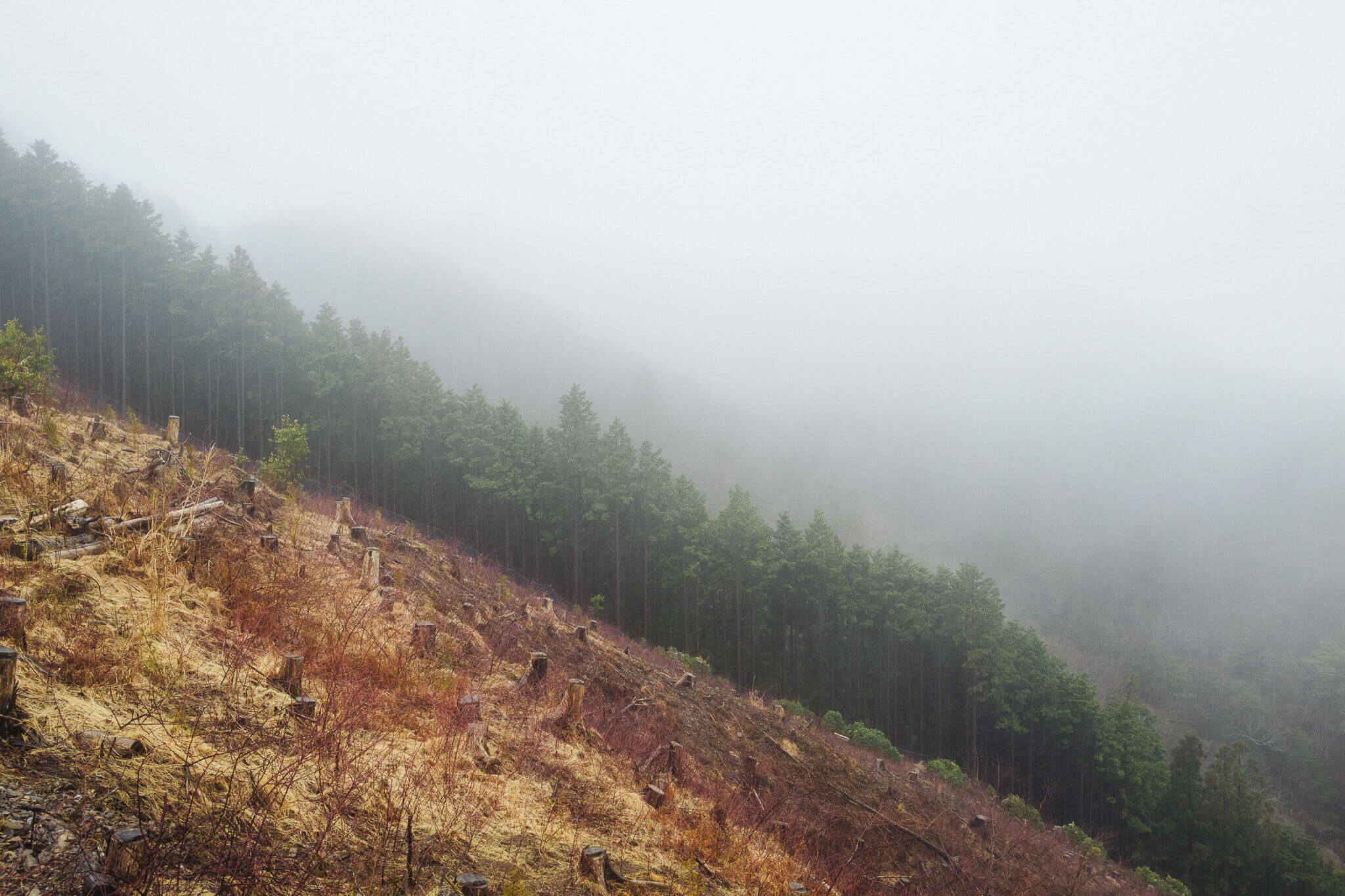
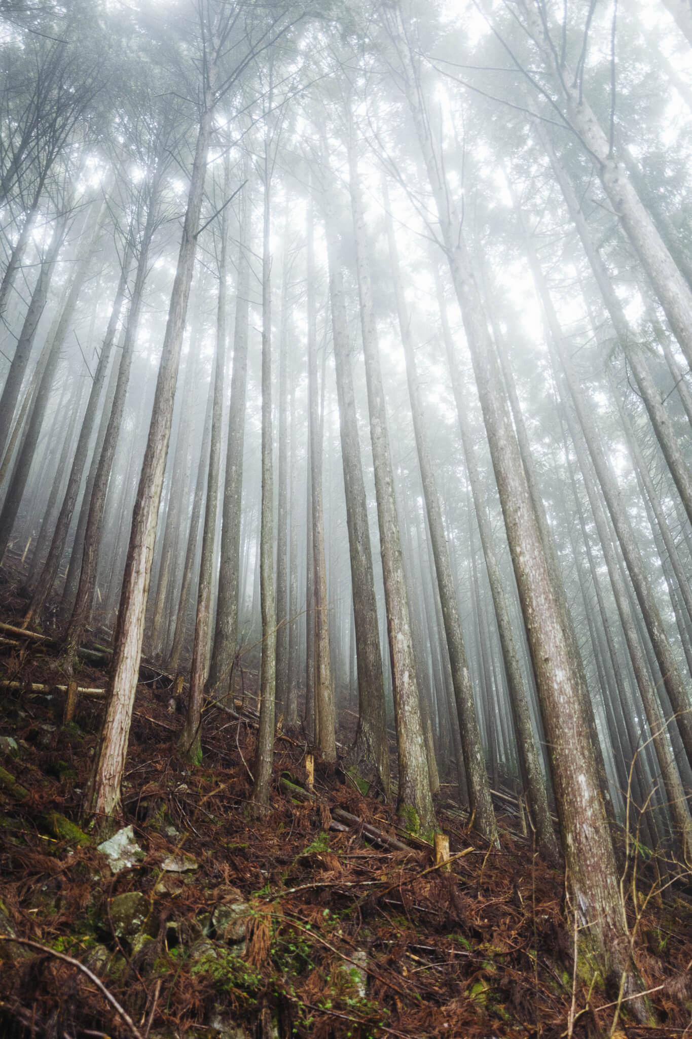
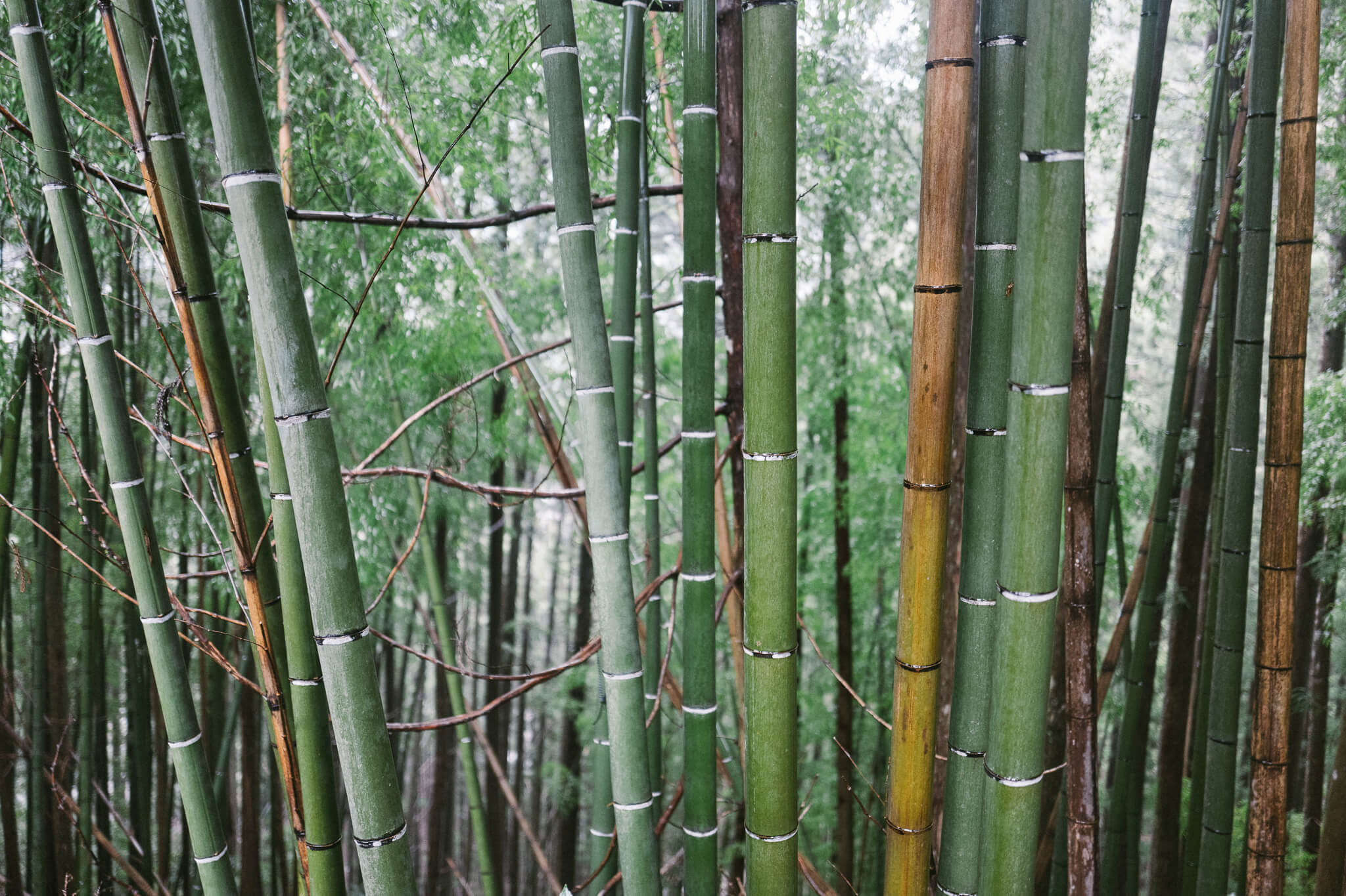
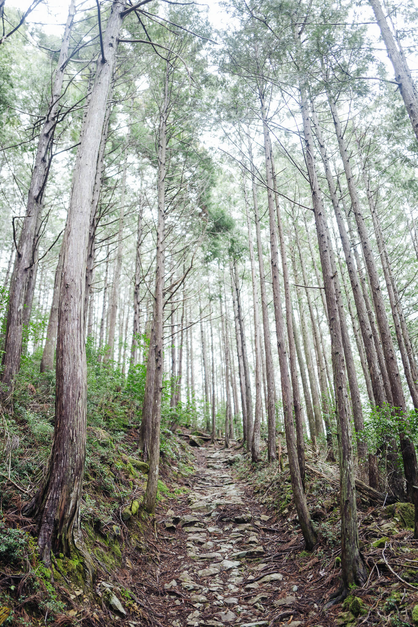
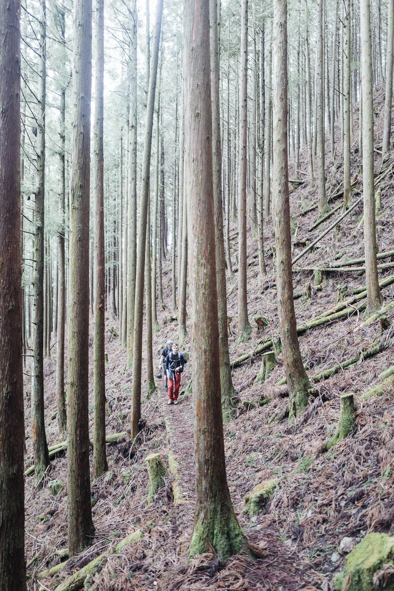
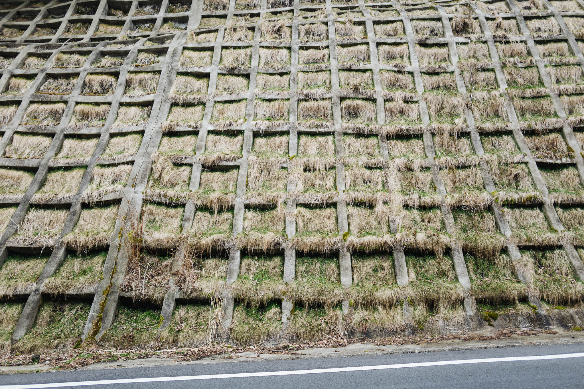
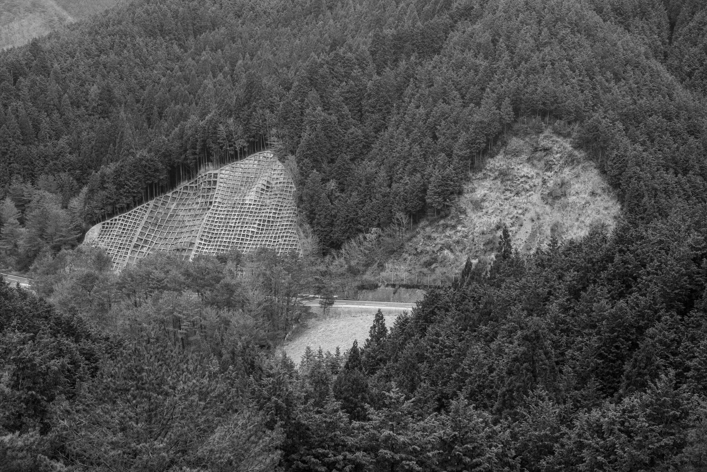
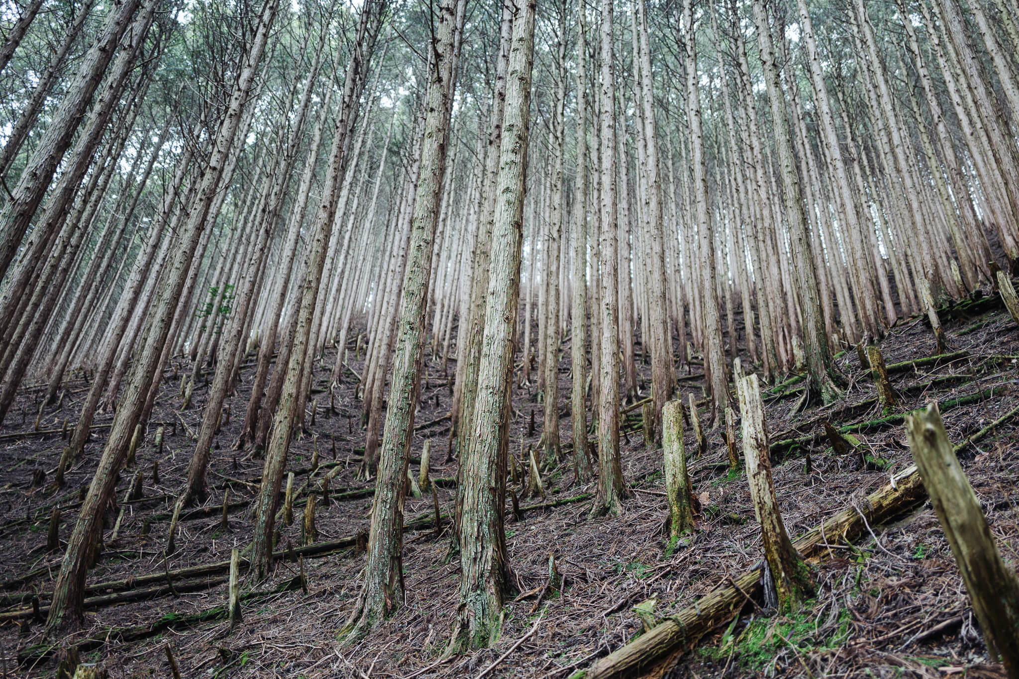
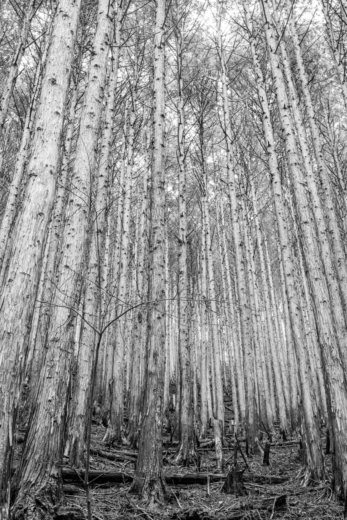
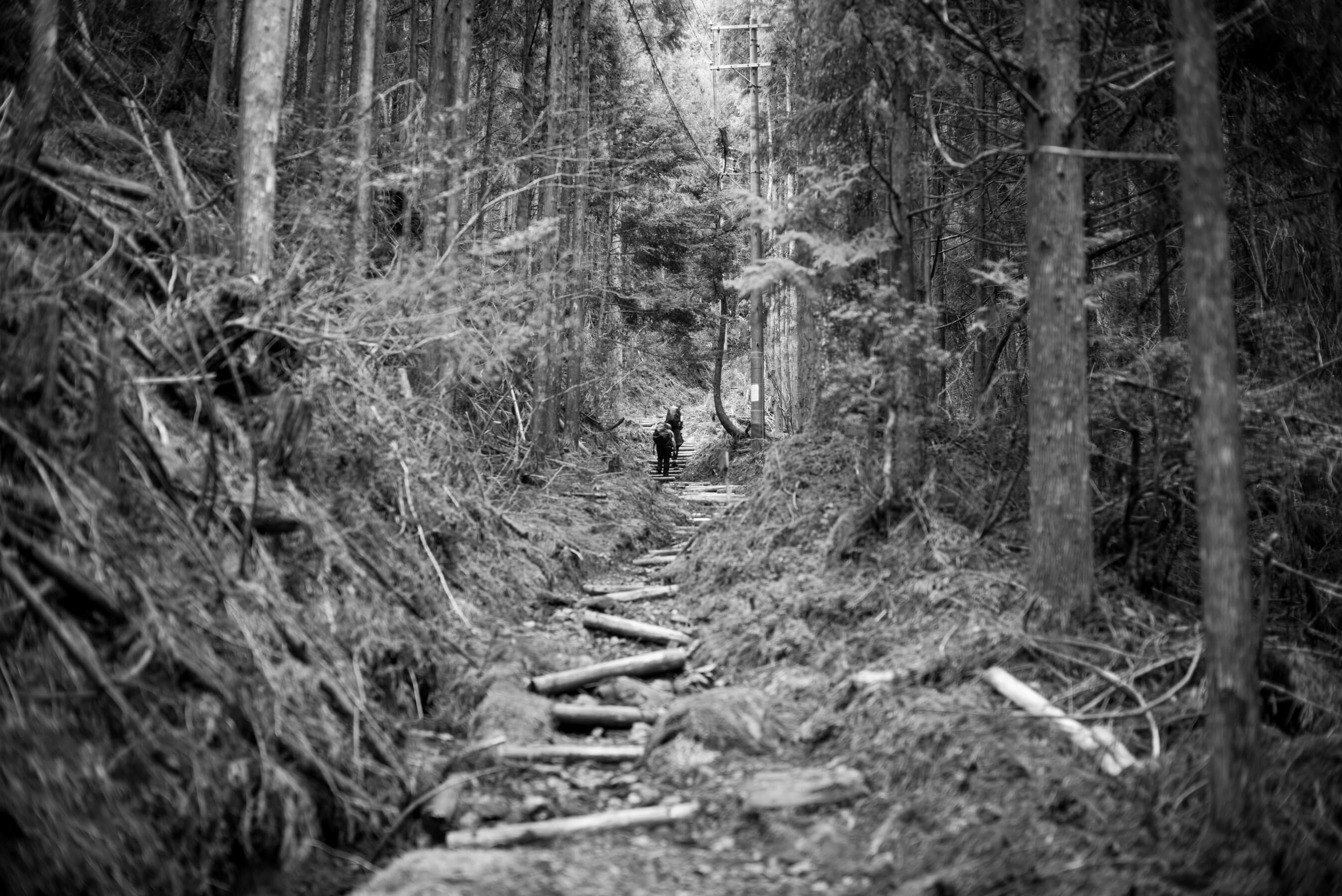
Day four marks the start of our multi-day climb from Hongu to Koya-san. A bus stop with umbrellas, a few snaps along the river, then up into the cedar cathedral — along a path carved through sugi forest. (Visually impressive but slightly ecologically disconcerting, and mortifying for those with seasonal allergies.)
All up up up the so-called Kohechi route of Kumano — the commoner's route. It's tough. It's steep. It's for grunts like us.
Every few hundred meters we passed another of the thirty-three Kannon statues between Hongu and Totsukawa Onsen. Thirty minutes in and Dan and Matt both commented: Thank god we didn't start the walk on this section.
The day threatened rain but nothing hit until we arrived on the other side of the mountain.
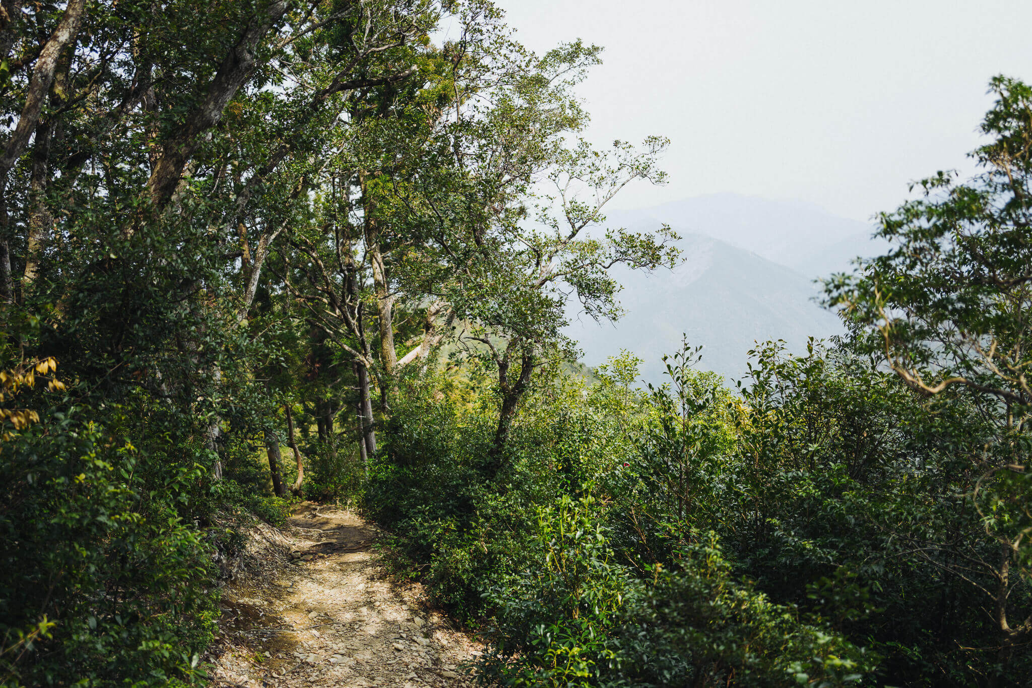
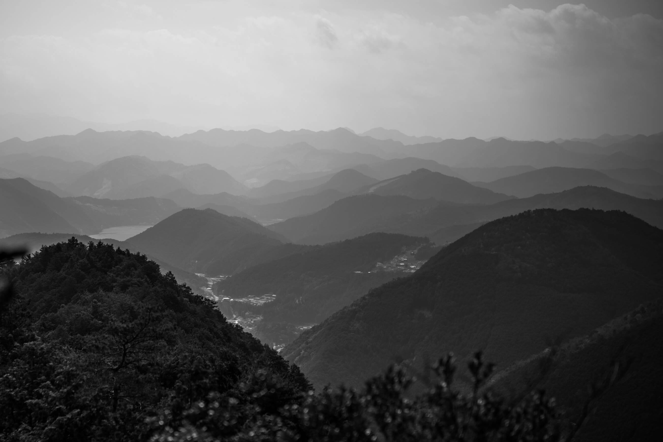
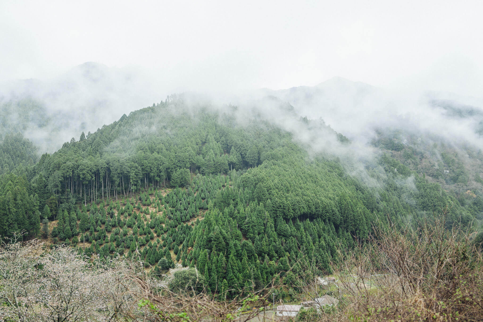
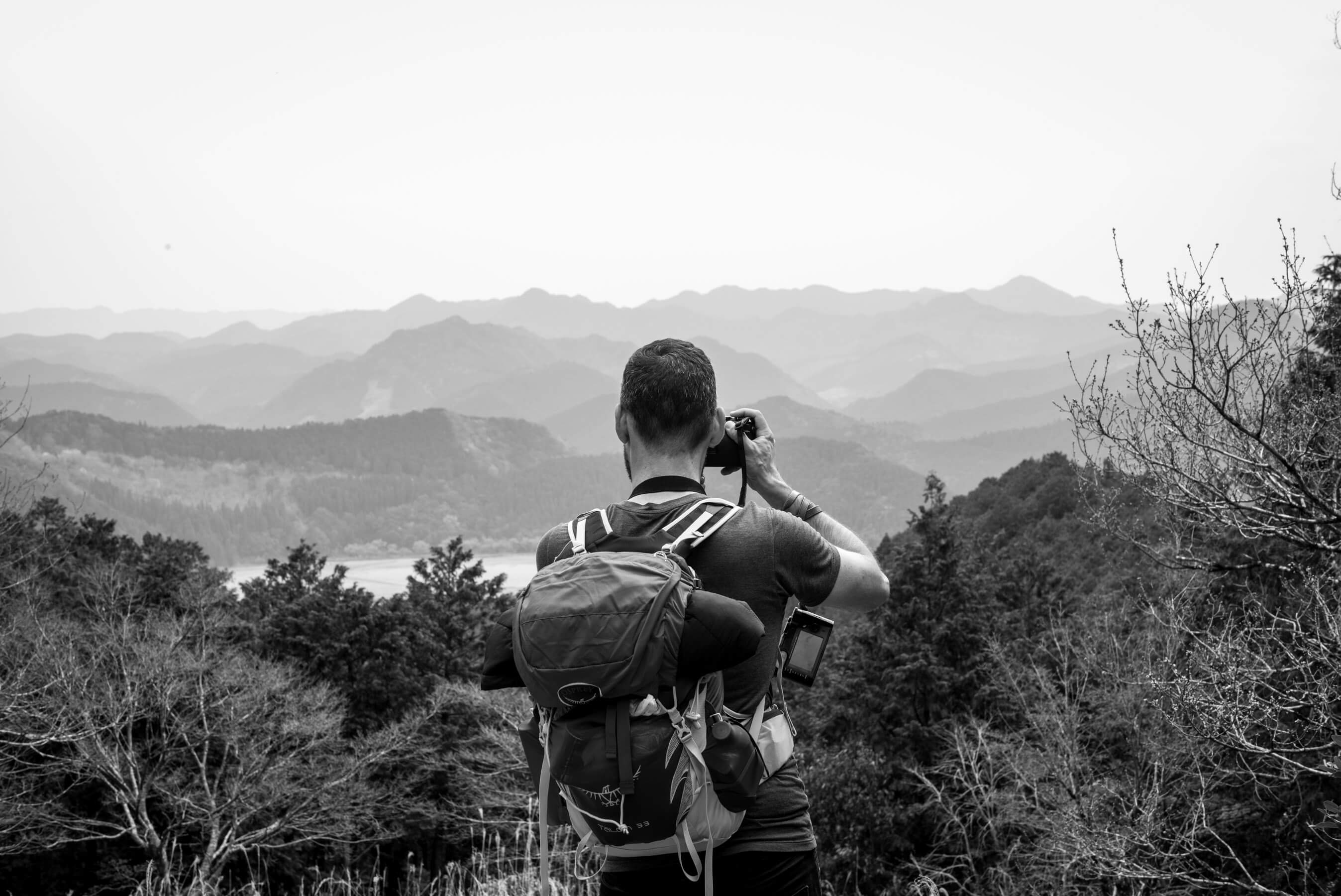
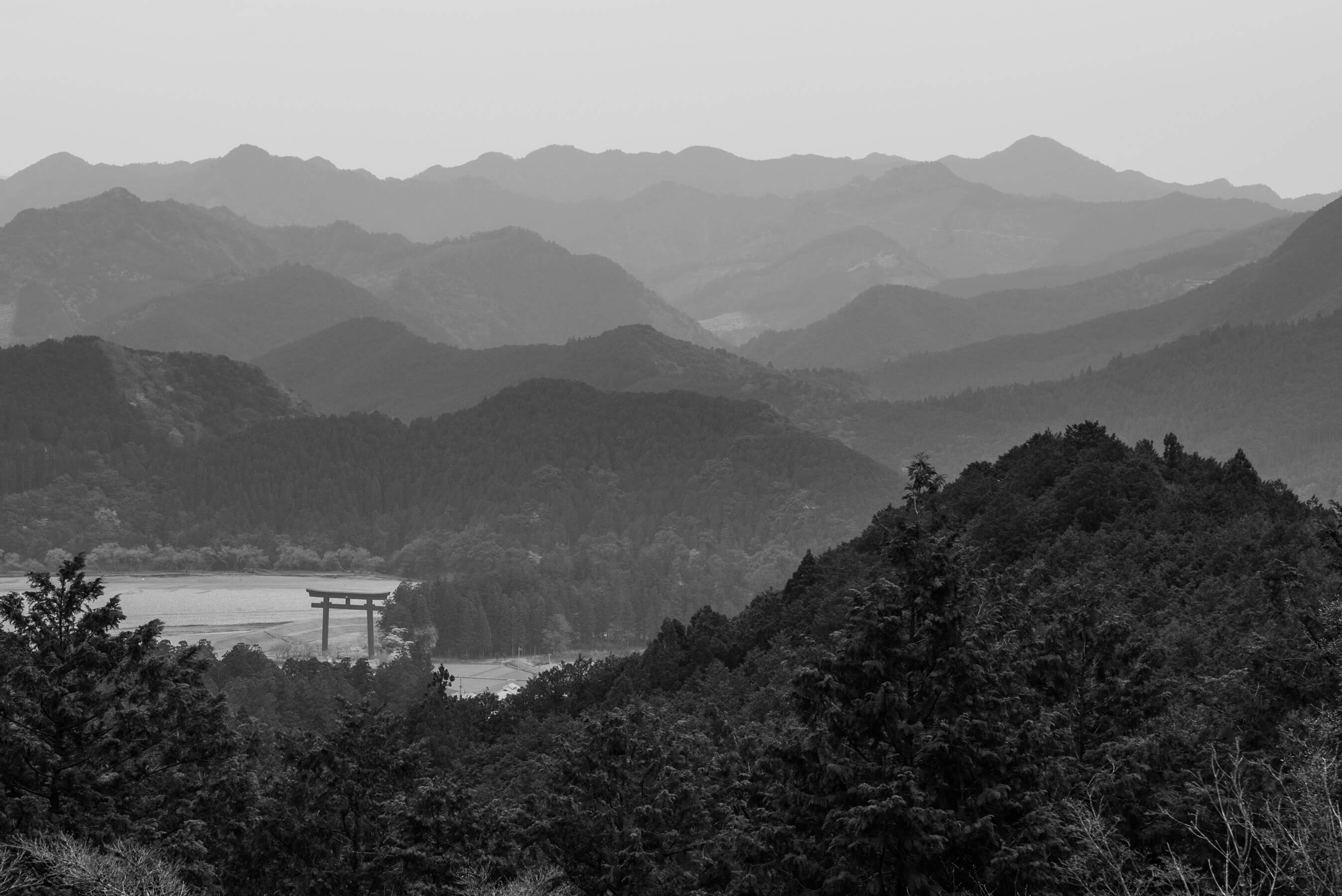
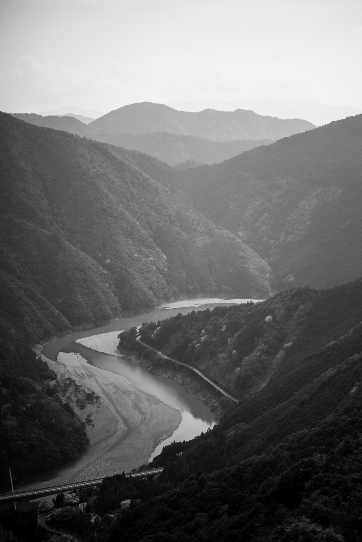
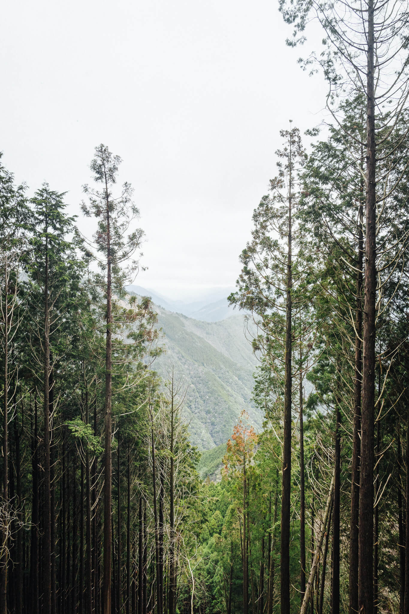
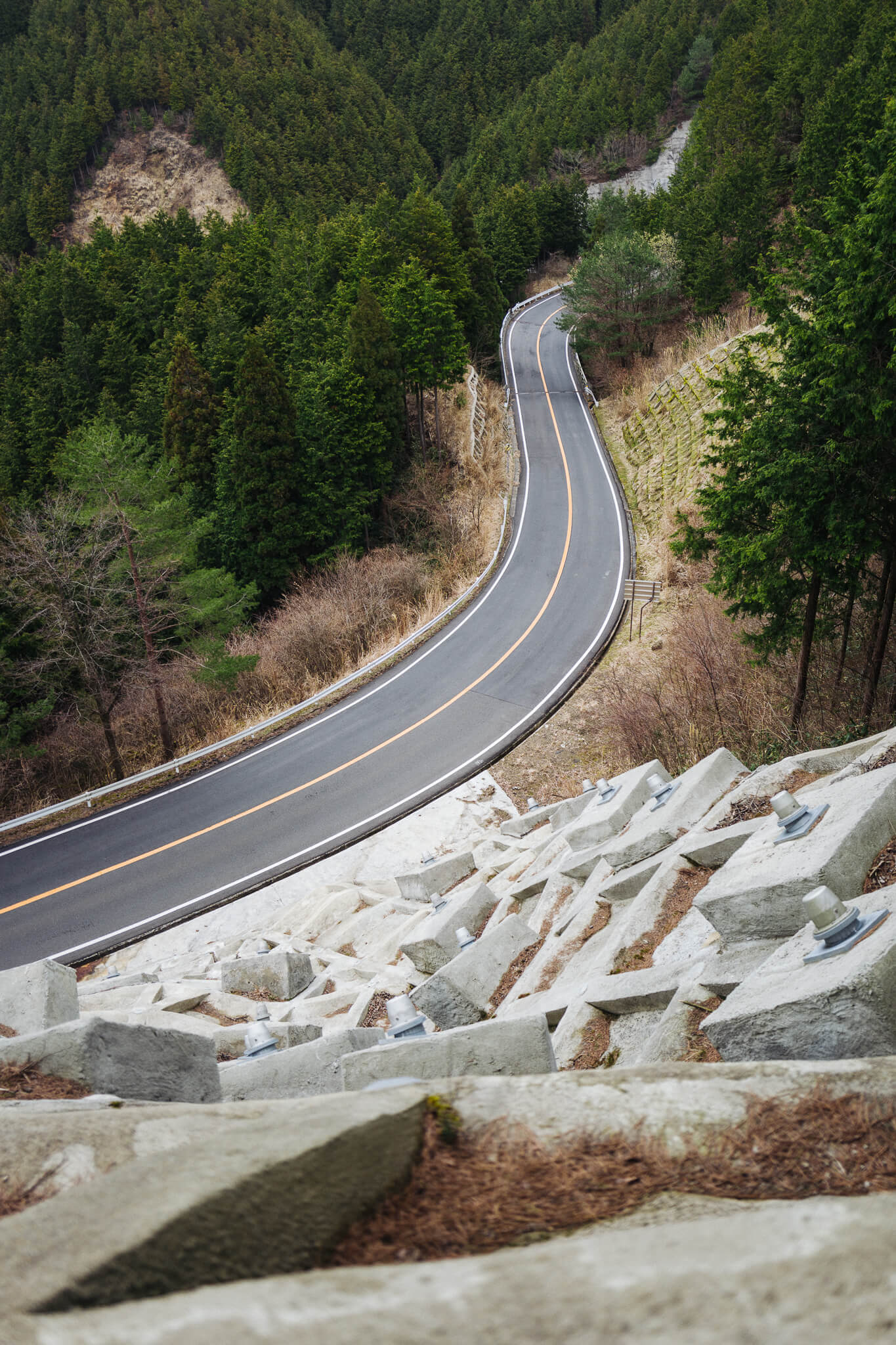
The Peninsula is thick with mountains, the earth hammered over into itself again and again. And so as you walk along the paths, gaining elevation, the views become increasingly defined by an ever expanding texture of peaks and valleys extending to the horizon.
But because the mountains are low, relatively, and multitudinous, the effect is less that of a mountain range and more of a choppy ocean, frozen mid-swell.
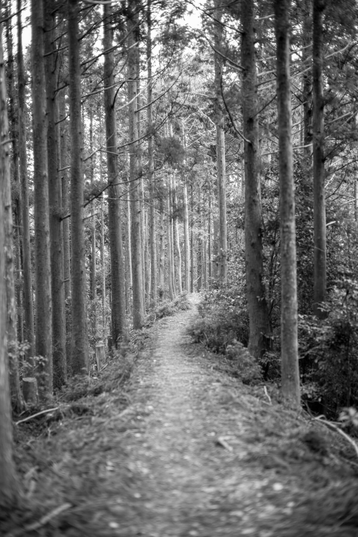
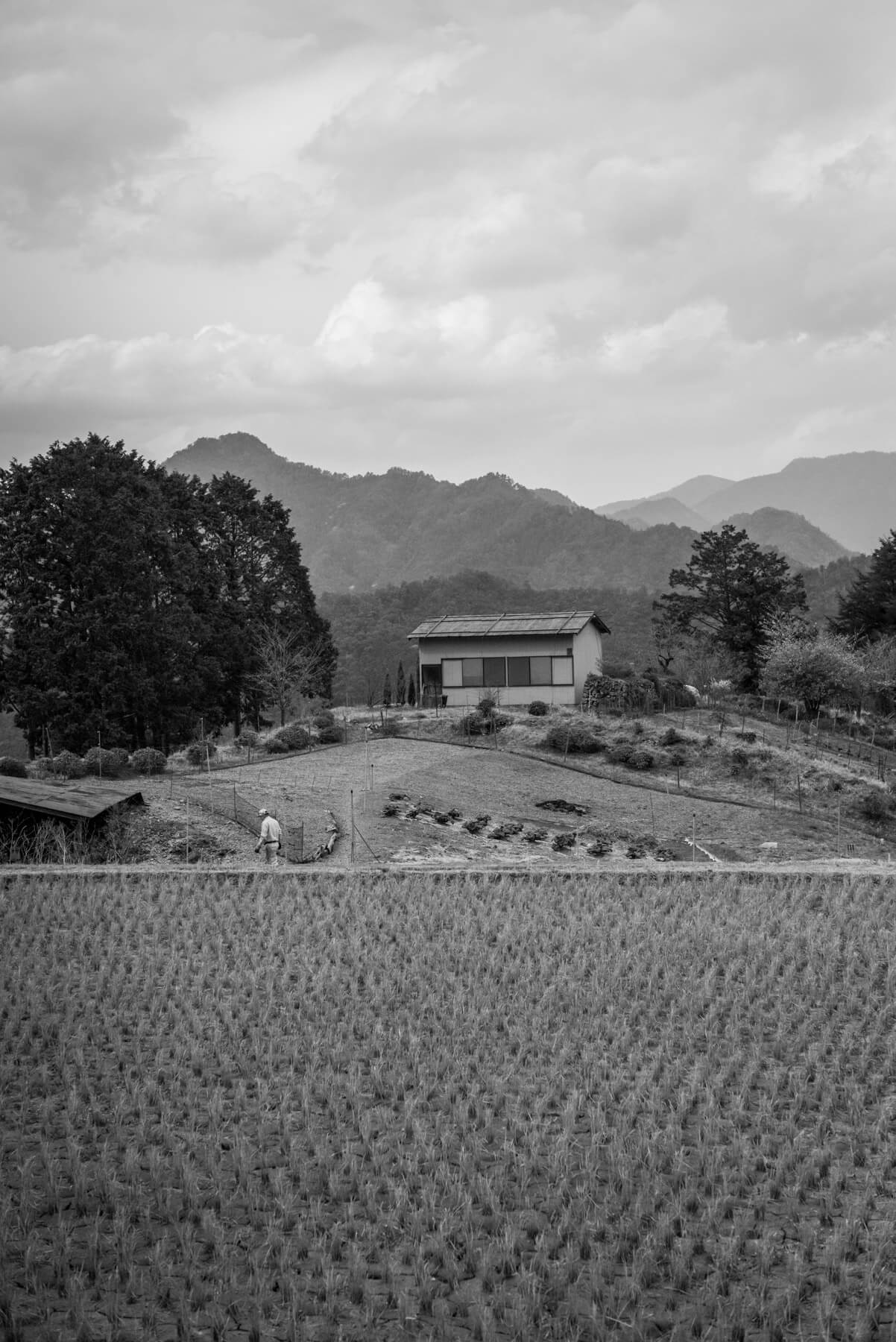
The end of what felt like the first real day. A day of total seclusion in the forest, and then a break out at the Hatenashi Pass, past some rice paddies, through a village, and down the back of the mountain to finish out the few final Kannon statues.
On our fourth night we slept at a small inn in the onsen village of Totsukawa. And we slept without much coercion, very, very early.
Tosukawa Onsen to Miura GuchiDay 5
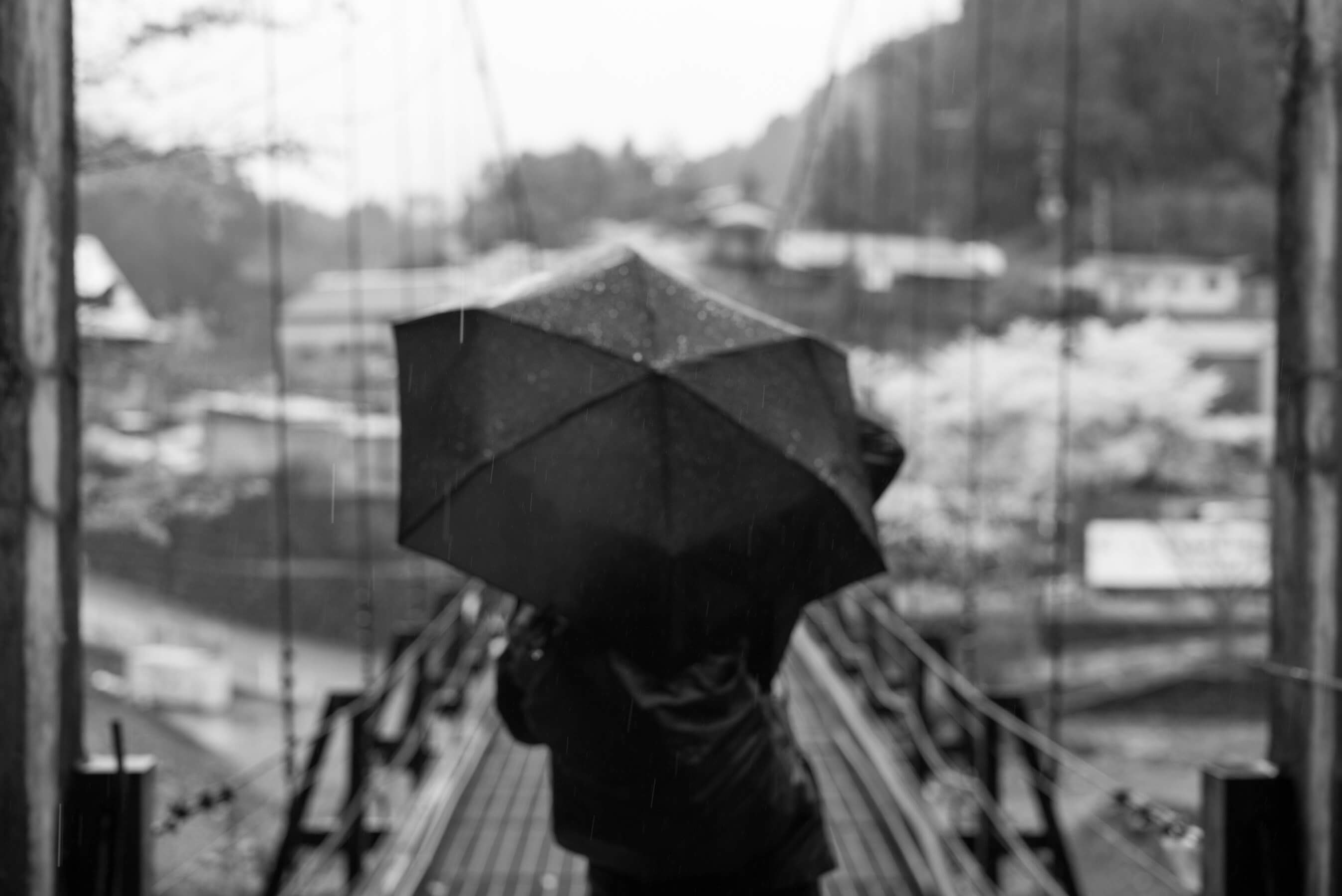
The start of the rains
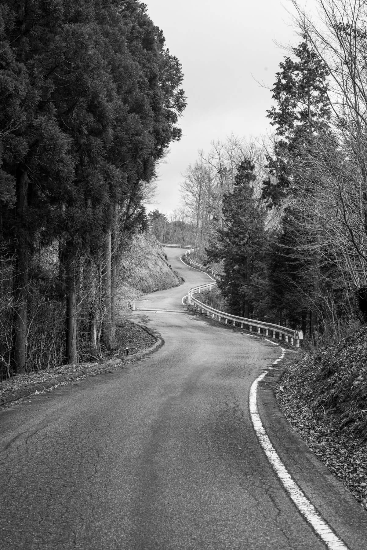
Another shoulderless road to the trail head meant another quick bus ride to start the day.
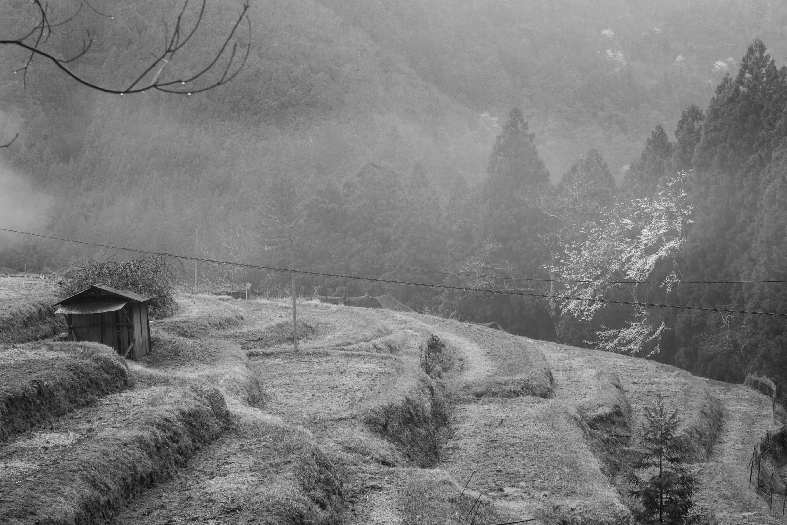
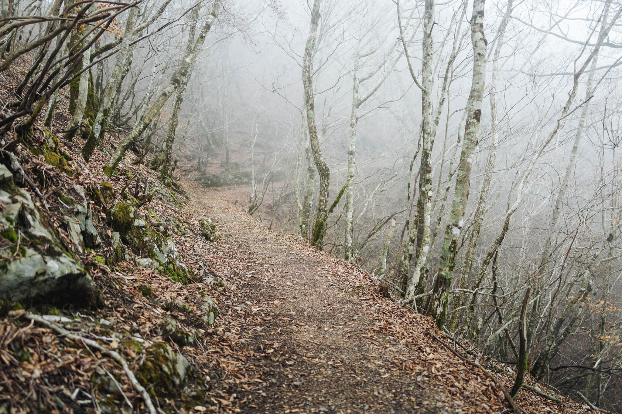
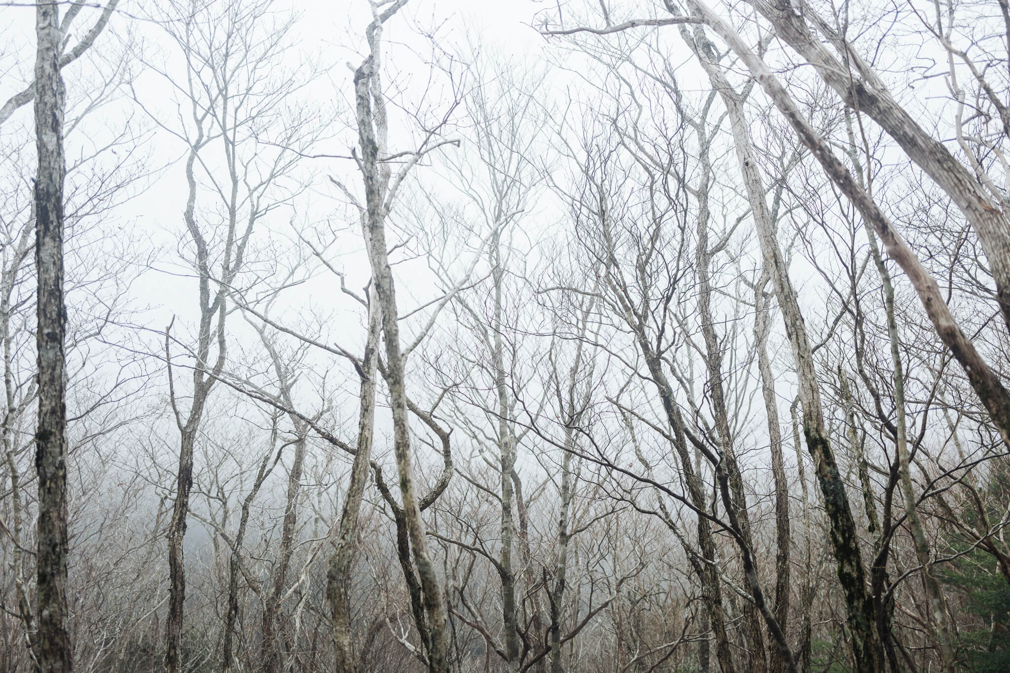
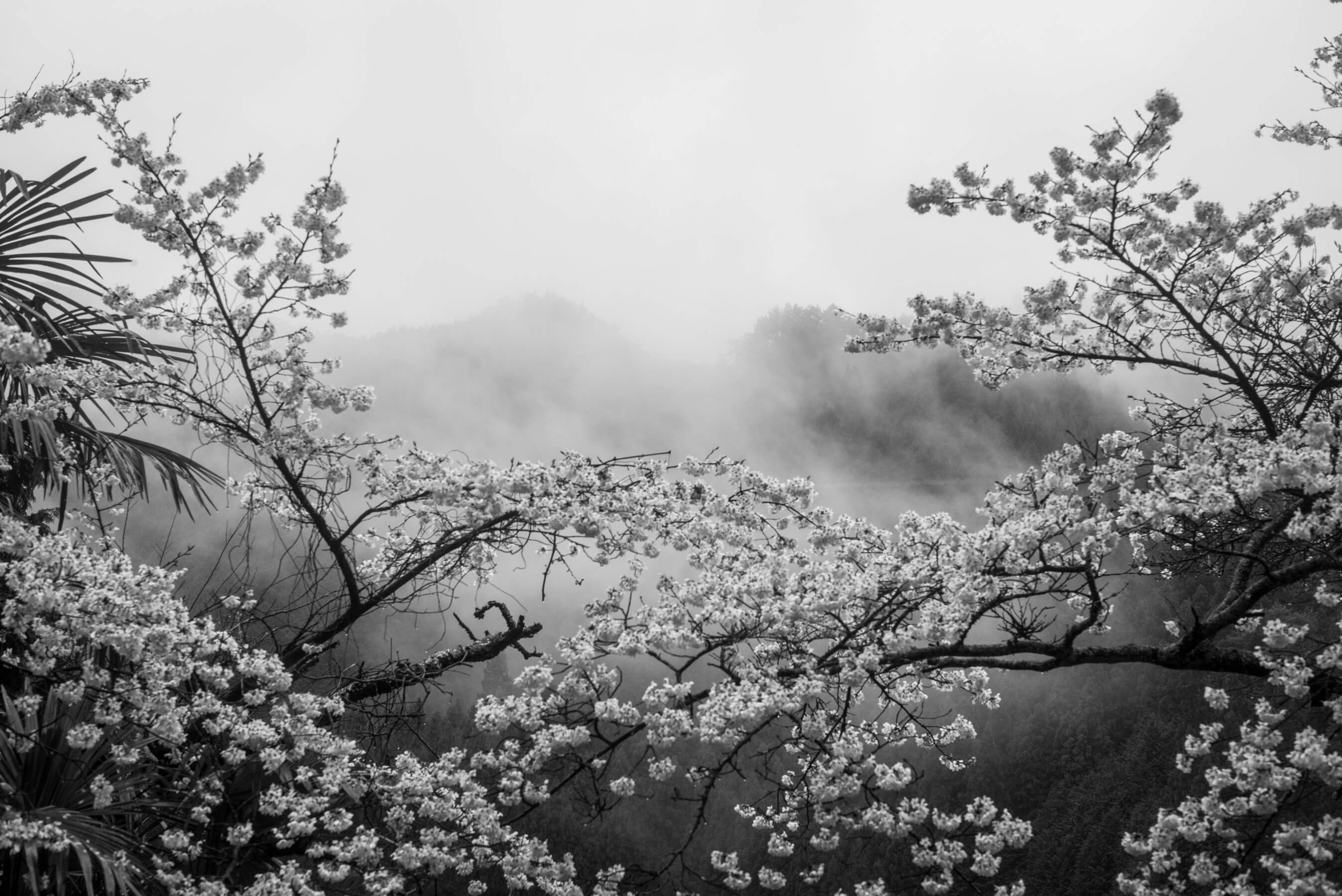
It's here the rains began. We'd been lucky, blessed with perfect weather until this day. But the rains came and stayed with us for the rest of the walk. Everything was enveloped in mist. We developed a gratitude for the wet — the rain and haze and clouds added layers to this landscape we hadn't yet seen as we made our way up towards the Miura-Toge Pass.
Throughout the centuries typhoons have ravaged parts of the Kumano. Kumano Hongu Taisha — the main shrine — itself was once on the Oyunohara island in the middle of the Kumano river, but a storm in 1889 washed most of it away. Other paths have been washed away as well, washed right off the very mountains to which they clung. And so similar to how Kumano's Hongu Taisha has been moved to higher ground, alternative routes have been carved by necessity to keep the pilgrimage walkable.
We emerged from a somewhat desolate, somewhat apocalyptic alternative route, crossed a small river and arrived at the town of Miura Guchi. A woman yelled from a car, "Hey! Are you staying with the Yamamotos?!" Why, yes we are. She offered a ride — a friend of the family. "Just happened to be driving by," she said. Told us we looked like we were probably heading up to their home.
Minutes later we unpacked, hung our rain covers under the eaves, and sat in scalding bathwater, easily the most satisfying bath of the walk.
Miura Guchi to OmataDay 6
The day of big climbs
Good-bye Yamamotos! A wonderful little minshuku — the room was warm, the baths clean and hot, the food delicious, and the coffee Chemex pour-over (the Japanese do not mess around with their coffee, even in the middle of the mountains).
The wife photographed us. The husband drove us (more roads, no shoulders, a sprinkling of rain), and we began our way up and over the Obako-toge Pass.
In Japanese, the word for mountain pass is tōge. It's written: 峠. It's a great character, comprised of three other characters (or "radicals"). On the left is the character for mountain: 山. On the top right is the character for up: 上. And on the bottom right is the character for down: 下. So the character for pass — tōge — is mountain-up-down: 峠.
We arrived at Hotel Nosegawa, the least intimate of all our lodgings. A giant concrete bunker in the mountains, looking out over a river. But the room was large and the baths gargantuan and filled with locals who were just here to soak and then head home for dinner. There was even a washing machine upstairs on an unused floor. And although the floor was thoroughly creepy, with no lights, and strange noises, we got everything clean, and filled ourselves with hotel food and potato chips, and slept side-by-side the sleep of men who just finished a long, wet walk.
Omata to Koya-sanDay 7
Concluding ascents
The road winds. The madness of walking descended. The day began with fresh bear tracks in the mud. So we yelled as we walked. Sang songs. Scared off the grumpy morning bears. Attempted harmonies but Dan refused to teach us his barbershop secrets, so our harmonies stunk. And yet we tried. Why not? Better than a mauling. Almost.
Our final day of walking. We were fully in the rhythm of this life — the early evenings, the big meals, the bowls and bowls of rice and hot baths. The body acclimates to the weight of the pack and the steady ascents. "Trail fit," as a friend calls it. It feels natural, certainly better than sitting in front of a screen all day. Matt calls what we're doing glamping, but I call it how the old pilgrims did it — I'm pretty sure they didn't camp in tents either. Although it seems like it would be easy to do so.
As we began our last ascent, brazen thoughts came to mind: Let us return!, we said. Return and attempt an ultra-light run between Hongu and Koya-san. Camp for a single night somewhere in the middle. Obviously, we were master walkers by this point — six whole days under our belts. We could do anything. Including a 100 kilometer ultra marathon run through the mountains.
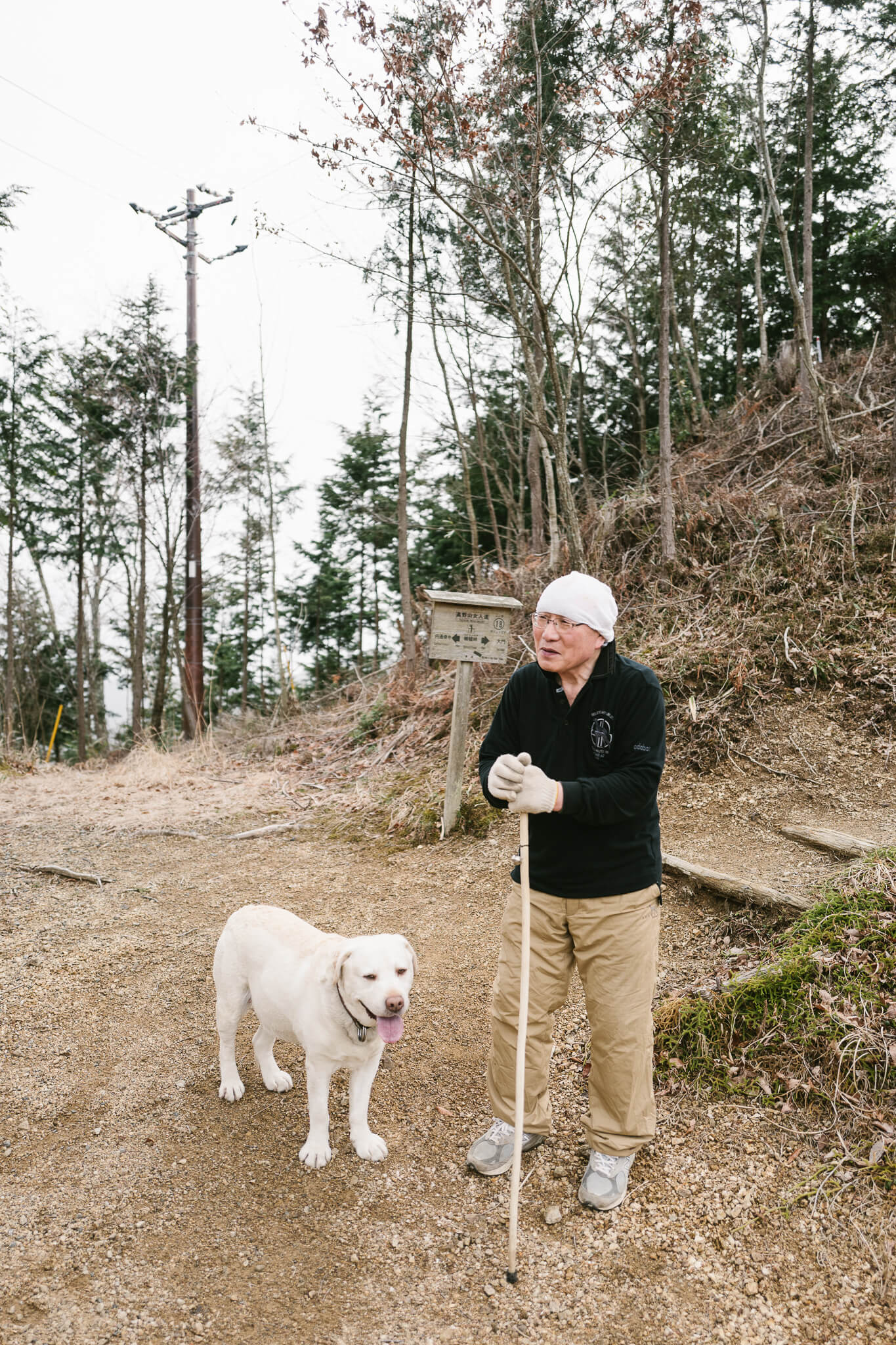
We made our way to the outer rim of Koya-san, ever closing in on the town proper. An old monk was walking his dog on the path. I wanted to call it Frank. I suddenly remembered another way to sneak into Koya-san from the side and asked him about it. "Yeah," he grunted. "A kilometer back there," pointing down the road we just walked.
We turned around, found the other path, and were immediately grateful for the diversion — it felt like a secret, this other path. It took us past a training temple into which commoners are not allowed, and wound along the outer lip of Koya-san giving us little glimpses of the vast landscape we had spent days traversing, finally ejecting us from the forest behind a parking lot. A most inglorious end to a glorious walk. From the mountains we emerged, sweaty and dirty, into the parking lot next to a toilet, just before the Okunoin Cemetery. The lot was full of tourists stepping off giant, hissing buses, who looked at us look like we were mad, or lost, most certainly not supposed to be where we were.
All at once the world flipped from the isolation of the woods to the bustle of civilization.
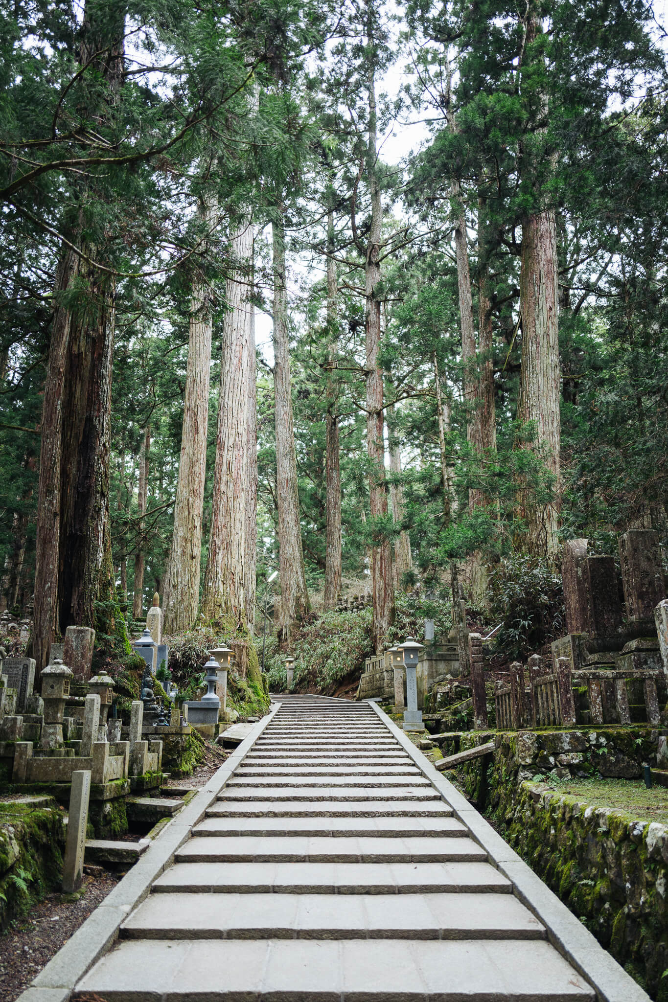
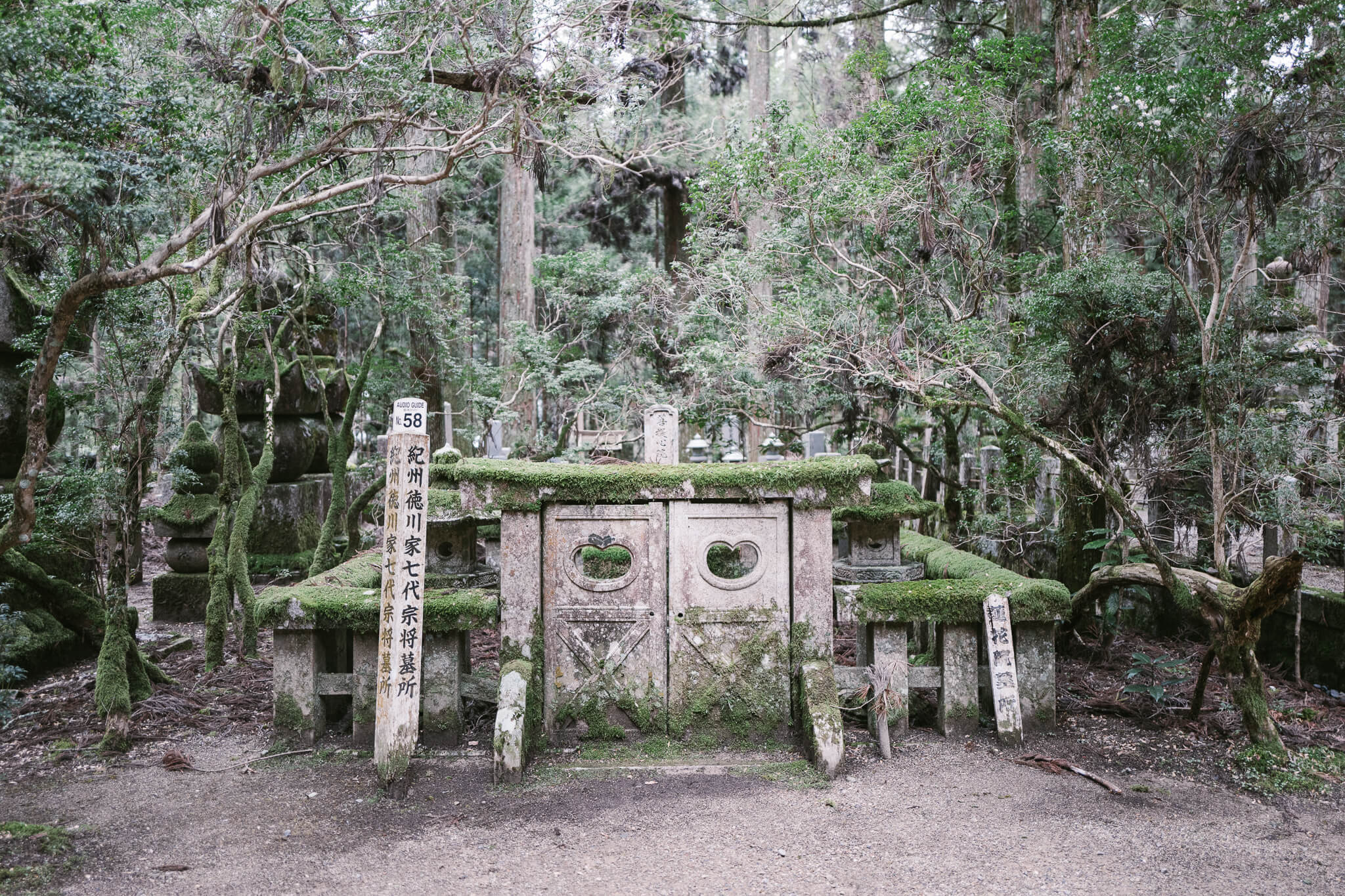
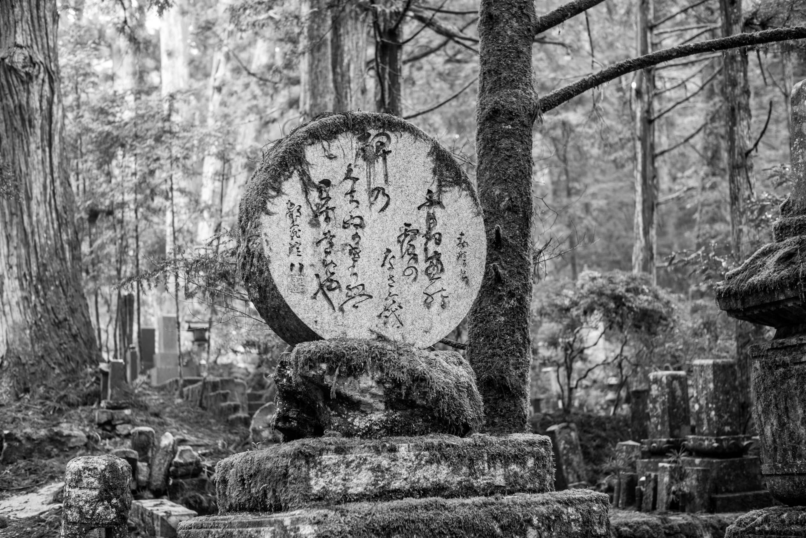
The last day of walking was the longest day of walking. But also the one with the biggest payoff: Okunoin is a gem; the air, the water, the towering old cedars — as wide as school buses — the ancient graves, a kind of electric moss covering everything … it's a near perfect final destination (which is why I like the walk from Hongu to here as opposed to the more common reverse route). A restorative and rejuvenating payoff. A big payoff, and bigger still for those who have never visited Koya-san or Okunoin before.
The cemetery is kilometers long, there is so much to see. You can easily spend hours lost down it's many tendril side-paths. We were exhausted but found a burst of energy and used that energy to walk the length, from Kobo Daishi's resting place all the way to the Ichi-no-hashi bridge.
We arrived at Eikoin just before dinner. Ate a luxurious shojinryouri (traditional Buddhist vegetarian) meal, and sank into a deep sake-aided sleep as soon as they took away the food.
Koya-san to TokyoDay 8
Back to trains
We woke early. Earlier than any other day of the trip. Part of the pact in staying at a temple is agreeing to wake for morning prayers. We did so, dragging our walk-weary bones from our futons, through the winding hallways, sitting in for a short prayer at the main temple hall.
Koya-san has dozens of temples, many of which offer lodging and meals, some of which are especially foreigner friendly (English, smiles, explanations). I've stayed at half a dozen temples. Eikoin has perhaps the best balance of beautifully maintained interiors, art, food, and a reasonable morning schedule. Some of the other temples are more ascetic with simpler food and less comfy rooms, other more lavish with outdoor baths. But Eikoin has a special warmth and the monks are welcoming (not always the case). And so it's Eikoin to which I find myself returning, and am glad we did so on this trip, too.
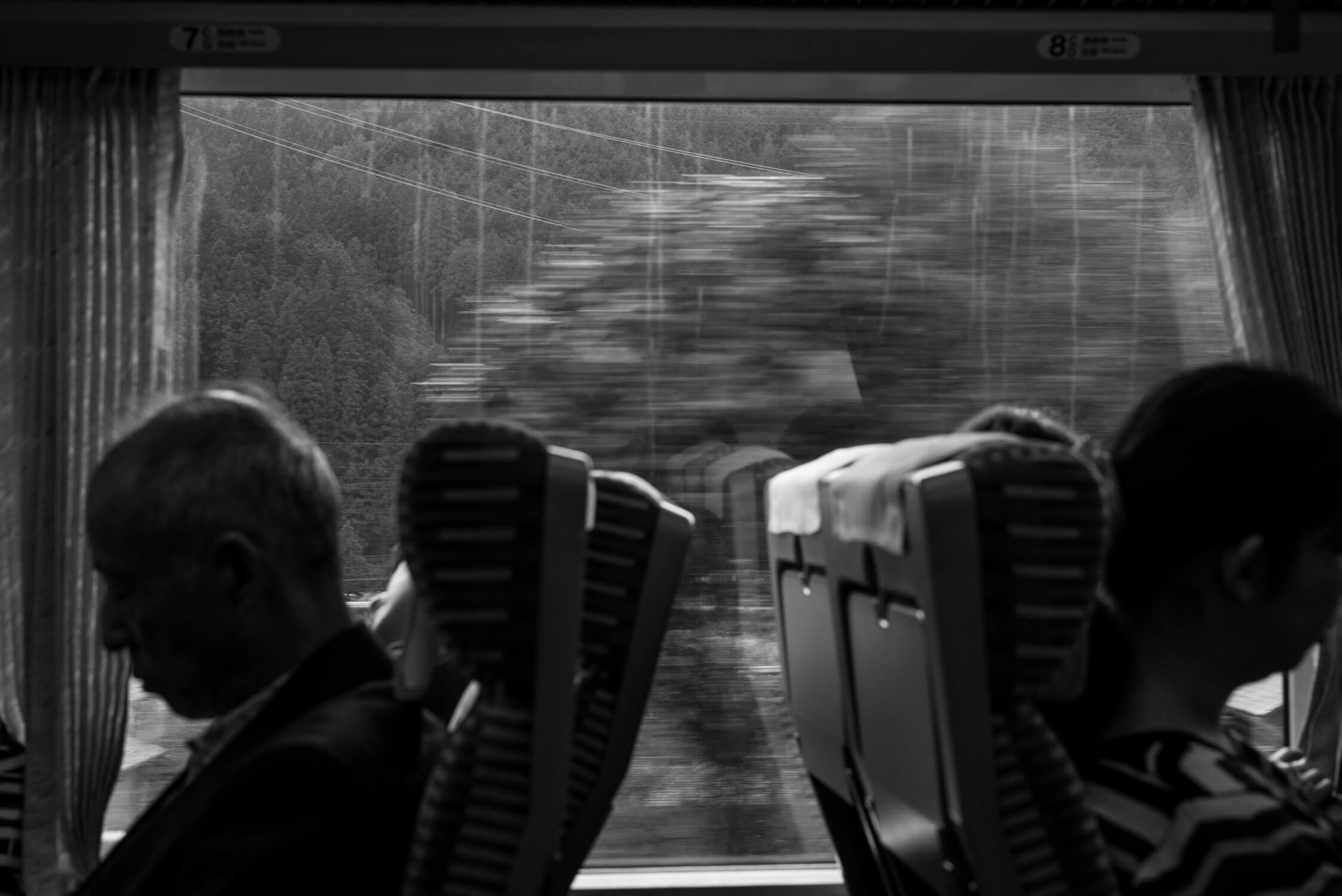
There's a sadness to packing your pack a final time on a walk like this. On the morning of our eighth day, we did just that, and then were off. Koya-san Station to Gokurakubashi via cable car. Gokurakubashi back towards Osaka on express train. Dan and I said goodbye to Matt. Matt made a side trip to Kyoto, flying back to the States shortly after. Dan and I were off once again: Shinkansen from Osaka towards Nagoya, and then up to Hida-Furukawa, north in Gifu.
We hid in an old house for a week. A cheap black and white laser printer was waiting ahead for us. We had ordered too much toner. Reams of copy paper. We holed up there, slept in the attic of a hundred-year-old house like squatters. Printed out hundreds of our photos from the walk just completed, covered the tatami mats in them, made a book, prepared to make this very website.
We did this day after day for six days, dreamt of steps and gnarled roots at night. Wondering when the next walk would begin.